

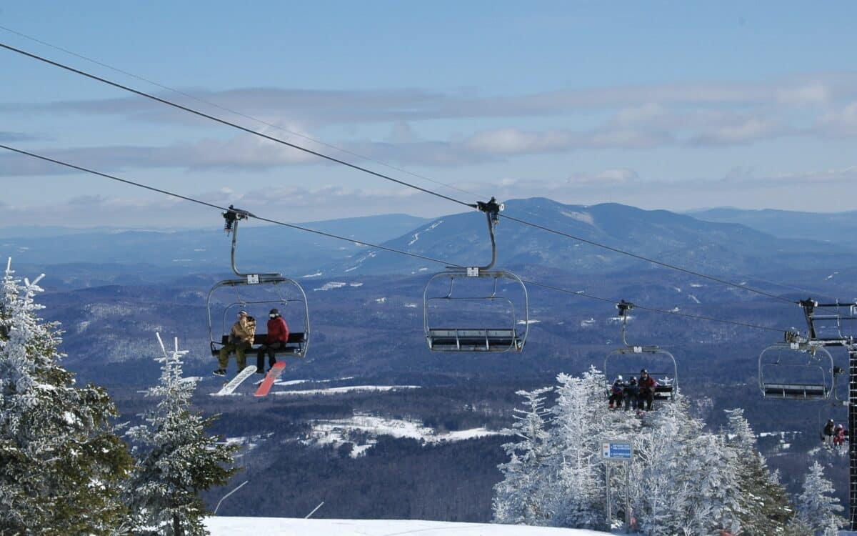
New England’s ski country, a stretch of mountains across Vermont, New Hampshire and Maine that draws visitors from across the country every winter, is watching the tropical Pacific this summer. The signals point toward a milder, less snowy season ahead. NOAA’s Climate Prediction Center confirmed in June that El Niño has developed and is expected to strengthen into a moderate or strong event by late fall.
NOAA Confirms El Niño Is Building
NOAA’s Climate Prediction Center issued an El Niño Advisory after sea surface temperatures in the equatorial Pacific rose above the threshold the agency uses to declare an official event. Forecasters put the odds at 63 percent that this El Niño reaches “very strong” status by fall, with sea surface temperatures in the Niño 3.4 region climbing past 2.0 degrees Celsius. The Climate Prediction Center also gives the pattern a 96 to 98 percent chance of persisting through the coming winter.
History Shows a Familiar Pattern for the Region
Government climate data going back decades shows El Niño winters tend to treat New England differently than the rest of the country. NOAA’s Climate.gov analysis of El Niño winters from 1959 through 2023 found a clear reduction in snowfall across interior New England, the Great Lakes and the northern Rockies during El Niño years, especially when the pattern is moderate to strong. That is the opposite of what typically happens across the South, where a stronger, farther south jet stream tends to deliver more moisture and, at higher elevations, more snow.
A joint NOAA and Northeast Regional Climate Center report reached a similar conclusion after studying the region’s El Niño history. The 2018 analysis found that during New England’s most recent strong El Niño winter, the entire Northeast ran warmer than normal while New England, New York and northern Pennsylvania all saw below normal snowfall totals. The same report noted that El Niño winters have historically produced an outsized share of the Northeast’s most disruptive coastal storms, with several of the region’s “crippling” snowstorms on record occurring during El Niño conditions. Each event still behaves somewhat differently depending on other factors like the Arctic Oscillation, so the pattern is not guaranteed.
Temperatures Are the Bigger Concern Than Storm Totals
The bigger issue for resorts may not be a lack of storms but a lack of cold. Moderate to strong El Niño events are historically associated with warmer than average temperatures across the Northeast, which affects how much precipitation falls as snow rather than rain Even when total precipitation runs near or above normal, as government data shows tends to happen in El Niño winters, warmer air can turn potential snow events into rain, particularly across southern and coastal New England.
What It Means for Ski Country
None of this rules out a good season entirely. El Niño winters have still produced some of the Northeast’s biggest snowstorms on record, since an active jet stream can occasionally pull cold air southward into a rain-snow line that favors the mountains. For now, government forecasters and researchers are aligned on the broader trend, a warmer winter with snowfall totals likely to fall below the historical average across the region’s ski areas. Resorts at higher elevations in northern Vermont, New Hampshire and Maine, where cold air is more reliable, are typically better positioned to weather that trend than lower elevation areas farther south.
