
Mars Hill, Maine — The easternmost ski area in the United States has a new trail map.
Over the past couple of months, Rad Smith has been working on designing a new trail map. This follows recent work on maps for Big Sky, Deer Valley, and Wild Mountain.
His newest map is of BigRock Mountain. This Maine ski area made some enormous improvements for the 2024-25 season, which included a new chairlift and snowmaking upgrades. This project for the non-profit ski area was made possible by a grant from the Maine Tourism Marketing Partnership Program.
Rad announced the project with the initial sketch, which is how his artwork starts. This is where he sets the cornerstones of the project, such as the trails, forest, and the sky.
Then came the exploratory sketches, which provide further details in areas like the trees. This serves as a guide for the final portrait.
Then came the final sketch, which started with an airbrush and then transitioned to tinier details, such as varying colors for the trees and a frost dusting on the upper mountain, which is how it looks during a powder day.
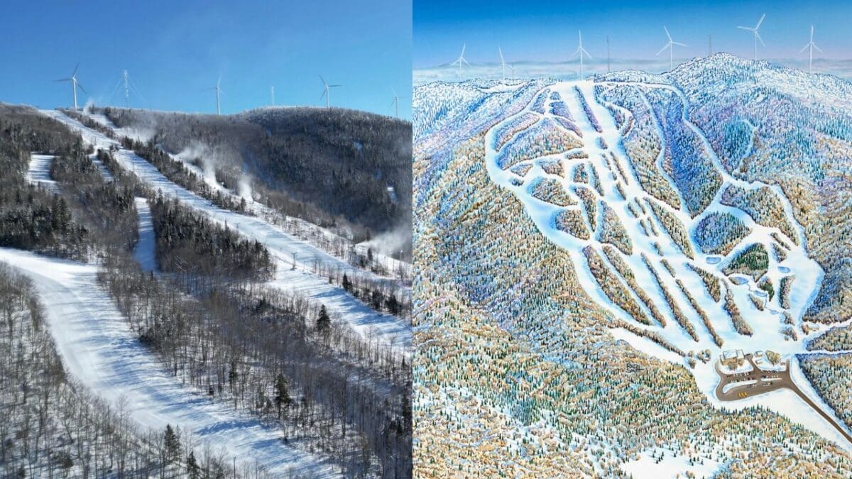
Yesterday, Rad & BigRock revealed the final product. It’s a great portrait of a mountain that has a lot of neat features, including windmills around the summit.
The official trail map with the run and lift designations will probably be available to view closer to when the 2025-26 season approaches.

Image Credits: Big Rock Mountain, Rad Smith