

A strengthening El Niño is set to reshape weather patterns across the country, and the effects will reach deep into some of the nation’s most visited public lands. NOAA’s Climate Prediction Center confirmed in June that El Niño conditions have developed and are expected to intensify through the fall, with forecasters putting the odds of a “very strong” event at 63 percent between November and January. That would place this event among the strongest on record dating back to 1950.
Wetter Winters for Southern and Southwestern Parks
The National Park Service notes that El Niño typically drives a wave of high pressure across the country, altering storm tracks in ways that hit different regions in opposite directions. For parks across the southern tier, especially in Arizona and along the Gulf Coast, that shift tends to bring a significant boost in winter precipitation. Enhanced streamflow across the Southwest during past El Niño events has led to flooding, rising water levels in closed basin lakes like the Great Salt Lake, and an increased risk of landslides and debris flows. The Park Service points to research showing some of the most destructive slope failures in the region occurred during past El Niño winters.
Parks in the desert Southwest, including those built around canyon country and seasonal washes, may see higher runoff and possible trail and road closures if this pattern holds.
A Mixed Picture for Snowpack
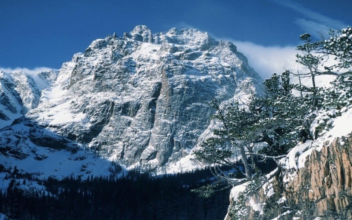
Winter recreation in the Rockies has historically benefited from El Niño, which the Park Service describes as typically bringing more snow to the range overall. This year’s outlook is more complicated. According to the USDA Climate Hubs, NOAA’s seasonal precipitation outlook for November 2026 through January 2027 shows a higher probability of below normal precipitation across parts of Idaho, Oregon, and Washington. That could mean leaner snow totals for parks in the Pacific Northwest even as other regions see a surplus.
Drought.gov, a NOAA led resource tracking drought conditions nationally, notes there is now greater confidence in forecasts calling for a wetter fall, winter, and early spring across the southern United States. The site also cautions that El Niño’s strength does not automatically guarantee a matching precipitation response, citing the 2023-24 event as an example where expected rainfall did not fully materialize despite a strong oceanic signal.
Temperature Swings and Fire Season Timing
NOAA forecasters expect a warmer than usual winter across the northern United States as the storm track shifts south, which could affect snowpack formation and freeze thaw cycles in northern tier parks. Jon Gottschalck, chief of the Operational Prediction Branch at NOAA’s Climate Prediction Center, said warmer ocean temperatures tied to El Niño tend to push global average temperatures higher, a pattern that has historically extended into the following year.
What Comes Next
NOAA updates its ENSO outlook monthly, with the Climate Prediction Center expected to refine both strength and regional impact projections as winter approaches. Park visitors planning for the coming season should watch for updated seasonal outlooks, since the difference between a moderate and very strong El Niño can significantly change snow, flood, and fire outcomes on the ground.
