

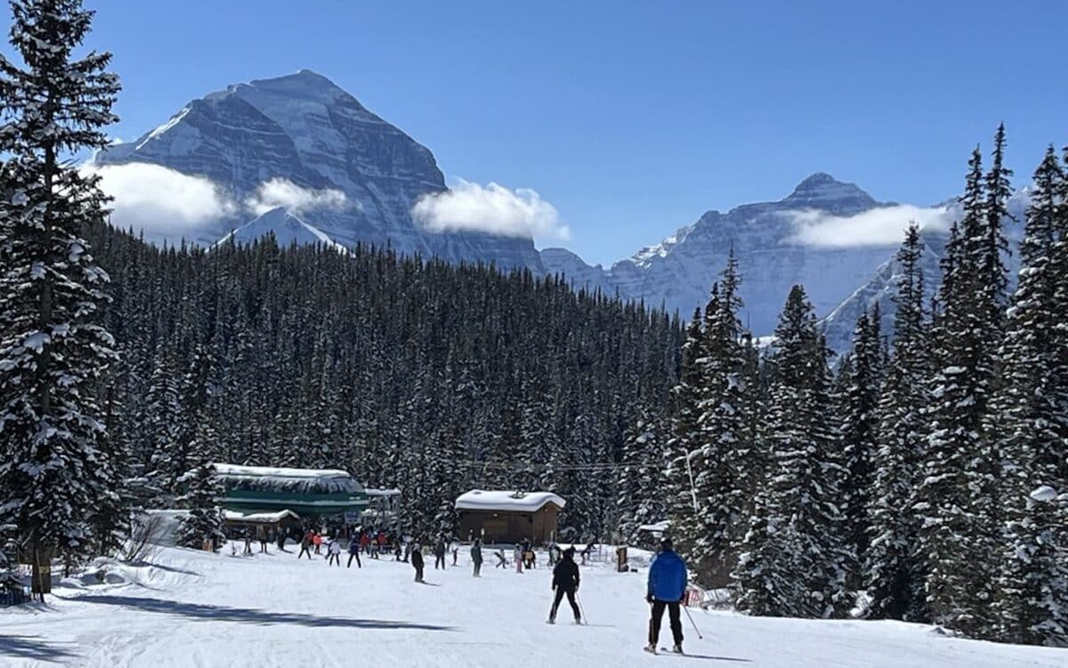
A strengthening El Niño event is expected to bring warmer temperatures and reduced snowfall to much of western Canada this winter, according to forecasts from Environment and Climate Change Canada and the United States’ National Oceanic and Atmospheric Administration.
NOAA’s Climate Prediction Center confirmed in June that El Niño conditions have developed in the tropical Pacific and are expected to strengthen into the Northern Hemisphere winter of 2026-27. Forecasters put the odds at 63 percent that sea surface temperatures in the monitored Pacific region will exceed 2.0 degrees Celsius, a threshold NOAA classifies as a “very strong” El Niño and the strongest since satellite records began in 1950.₂ NOAA’s most recent diagnostic discussion, issued in July, put the odds of El Niño persisting through early spring 2027 at 97 percent, meaning the pattern is likely to remain in place for the entire core ski season rather than fading early.
What It Means for Western Resorts
For Canadian ski resorts, the pattern points toward a mild and potentially drier winter, particularly in the west. Bill Merryfield, a research scientist with Environment and Climate Change Canada, told Canadian Geographic that El Niño winters tend to bring a precipitation deficit combined with warmer temperatures, which typically results in less snow on the ground, especially in Western British Columbia and Alberta.
Merryfield noted these effects on temperature and precipitation often carry into the following months. He said the winter influences tend to persist into spring, and sometimes even into late spring, a pattern that could shorten the tail end of the season for resorts hoping for late powder days. Lower elevation base areas are generally considered more exposed to this warming signal than higher alpine terrain, since a shift of even a few degrees can be the difference between snow and rain at a given base.
History Offers a Caution
Merryfield cautioned that seasonal outlooks are probabilistic rather than certain. He pointed to the winter of 2011-12 as an example, a year forecasters expected to run colder due to a moderate La Niña, but Canada instead recorded one of its warmest winters on record. ENSO patterns give forecasters a good general signal, but it’s never conclusive.
NOAA’s own advisory language emphasizes that every El Niño carries its own imprint on weather. Improved monitoring allows for better preparation, but outcomes at any single resort can still vary from the broader regional trend.
Preparing for an Uncertain Season
Skiers across Canada (and those planning a trip) should watch monthly updates from Environment and Climate Change Canada as the season approaches, since El Niño’s strength and exact track record can still shift through the fall. NOAA updates its ENSO diagnostic discussion on the second Thursday of each month, providing a running picture of how the event is evolving heading into December.
For now, the official signal from both countries’ weather agencies is clearly pointing toward a strong to very strong El Niño to dominate the 2026-27 winter, and Western Canada in particular should plan for a season that runs warmer and leaner on snow than average even as isolated storm cycles keep the door open for good weeks at higher elevations.
