

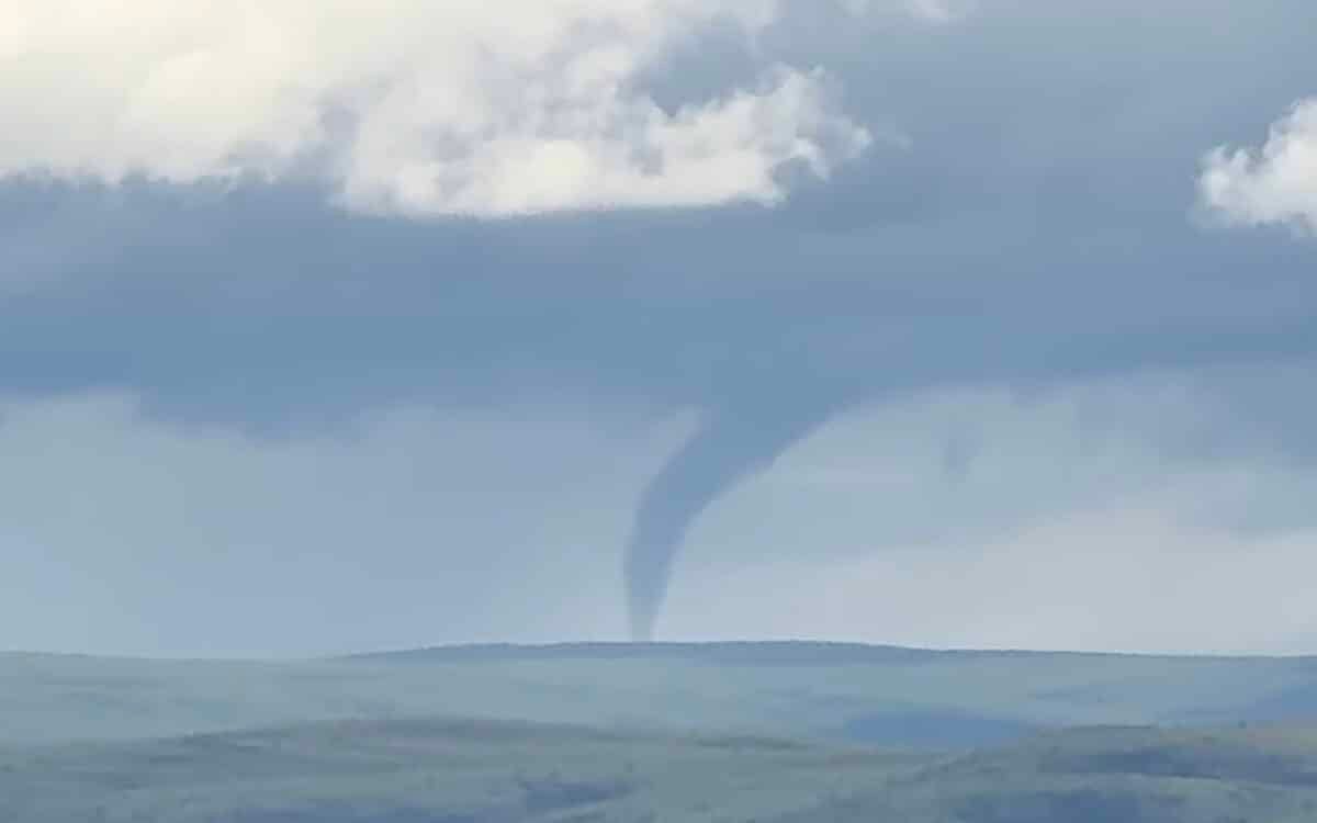
A funnel cloud formed over Alaska’s rugged interior on July 4th. The funnel was spotted around 5pm near Alpine Creek Lodge along the Denali Highway, a remote stretch of road connecting the small communities of Paxson and Cantwell in central Alaska hundreds of miles from Anchorage and roughly 150 miles south of Fairbanks. Witnesses captured video of the rotating column extending from the base of a towering cumulus cloud, framed against the peaks of the Alaska Range.
The National Weather Service office in Anchorage received the initial report at about 5:49pm and began compiling data from photos, videos and radar to determine the nature of the event. The funnel remained visible for about 15 minutes according to onlookers in the area.
Officials say the parent storm cloud reached an altitude of about 30,000 feet and produced a single cloud to ground lightning strike at 5:14pm. After reviewing available footage, forecasters found no evidence the funnel made contact with the ground, which would classify it as a tornado.
Instead the disturbance has been categorized as a funnel cloud, a phenomenon that occurs when a rotating column of air descends from a thunderstorm but stops short of touching the surface. If it reaches the ground, it becomes a tornado by definition.
Forecasters believe the funnel was likely triggered by winds moving through the Susitna Valley colliding with the storm’s own motion, generating enough wind shear to spin up the rotation. While tornadoes are common across much of the Lower 48, they remain exceptionally rare in Alaska, with only six ever officially recorded statewide. The event could be reclassified if new evidence of ground contact emerges.