
https://www.instagram.com/p/BfCAz4sjCXG/?hl=en&taken-by=brianheadresort
- Up to 16″ forecasted for Brian Head Resort
- Up to 10″ forecasted for Eagle Point
Southern Utah has been hurting for snow this season with Eagle Point remaining closed until the next big dump. Just so happens, that next big dump is right on the doorstep for southern, UT– fingers crossed.
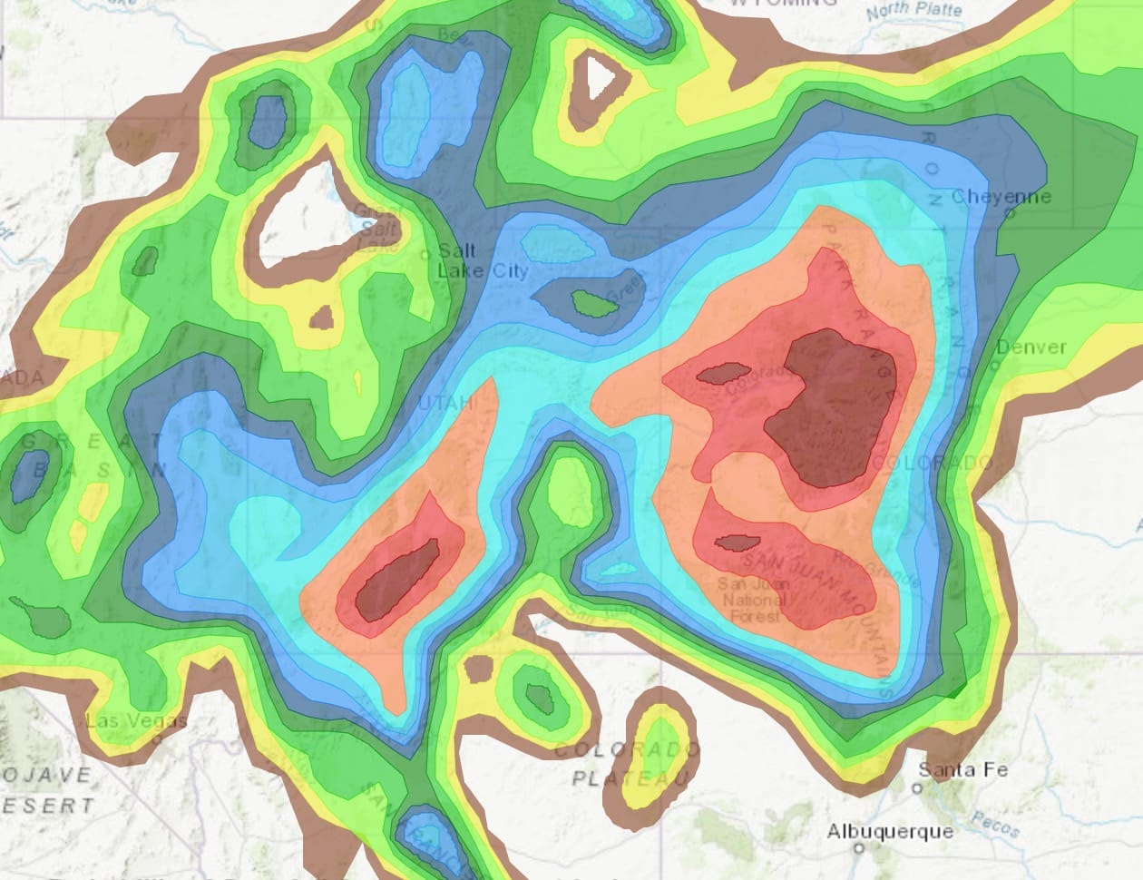
NOAA is currently forecasting upwards of 14″ across the higher elevations of southern Utah through Wednesday in what looks like the first real powder cycle of the season for Brian Head and Eagle Point.
‘Winter Weather Advisory in effect 11 am MST today thru 4 pm MST Tuesday for the Central & Southern Utah Mountains.
⚠Watch for slippery road conditions.” – NWS SALT LAKE
Brian Head is currently favored with 16″ forecasted but expect storm totals to vary as the ‘what’ and ‘where’ of snowfall trends in southern Utah can be a little difficult to pin down. LET IT SNOW!
Brian Head Forecast:


Eagle Point Forecast:


Winter Weather Advisory
…WINTER WEATHER ADVISORY IN EFFECT FROM 11 AM THIS MORNING TO 4 PM MST TUESDAY…
* WHAT… Snow expected. Total snow accumulations of 5 to 10 inches, with localized amounts up to 14 inches, are expected.
* WHERE…Central Mountains and Southern Mountains.
* WHEN…From 11 AM this morning to 4 PM MST Tuesday.
* ADDITIONAL DETAILS…Plan on slippery road conditions. Be prepared for reduced visibilities at times.