
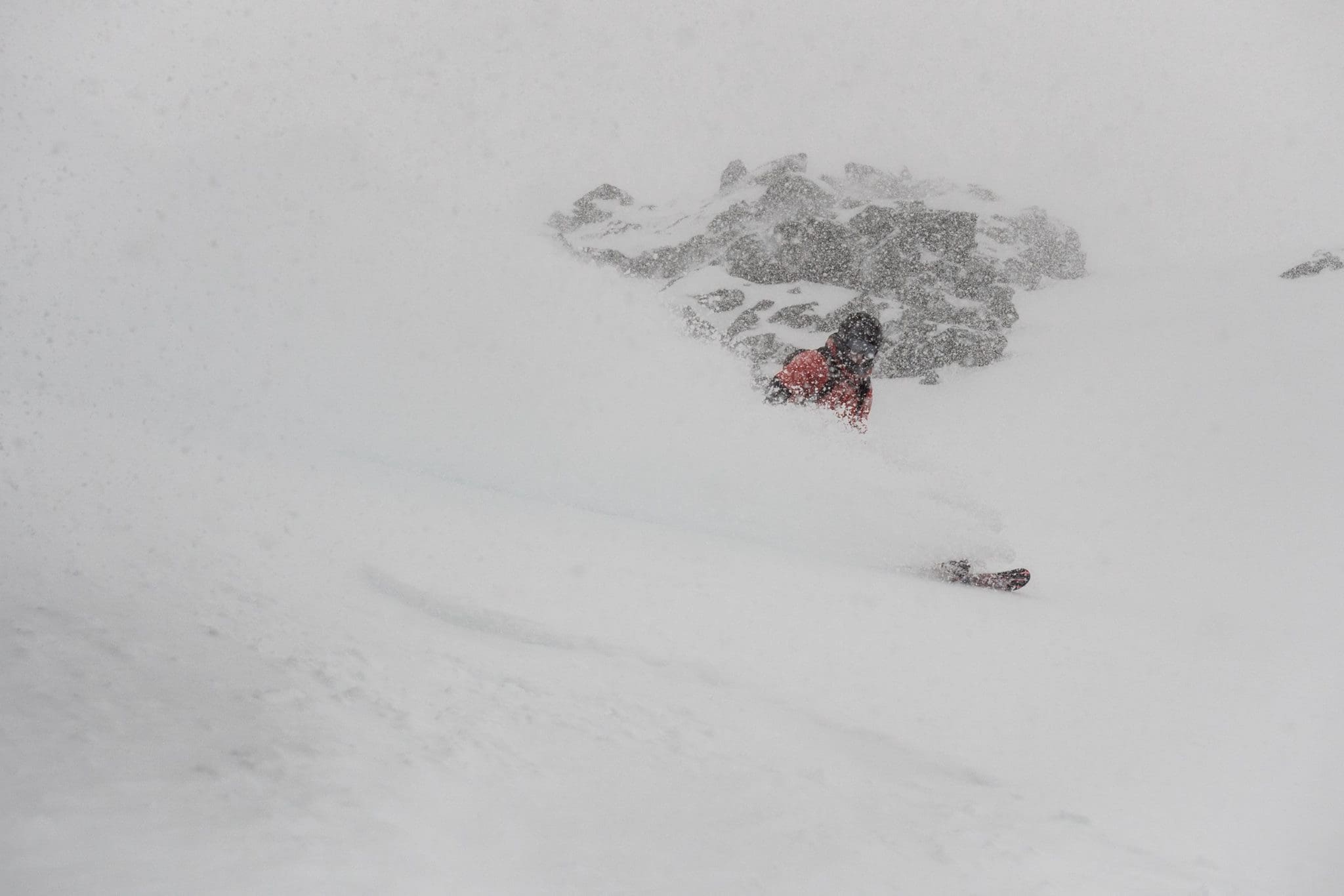

The snow is still falling in New Zealand and the Kiwi winter is off to the races with at least 4 ski areas reporting over 2 feet of new snow in the last 72 hours.
Related: The Top 5 “Ski Fields” in New Zealand
Porters, Mt Hutt, The Remarkables, and Mt Lyford (*opening this weekend) were the big winners this week. That said, this storm still has a little left in the tank. Look for the snow to continue throughout the day today before tapering off tomorrow morning.
72 Hour Snowfall Totals
- Porters – 28″
- Mt Hutt – 26″
- The Remarkables – 25″
[protected-iframe id=”7922c8ccf720163b655ad233c82ba443-65244901-84409940″ info=”https://www.facebook.com/plugins/video.php?href=https%3A%2F%2Fwww.facebook.com%2Ftheremarks%2Fvideos%2F10155455301363936%2F&show_text=0&width=560″ width=”560″ height=”315″ frameborder=”0″ style=”border:none;overflow:hidden” scrolling=”no”]
- Mt Lyford – 25″ (opens 7/15)
- Turoa – 20″
- Mt Dobson – 18″

- Coronet Peak – 18″
- Craigieburn – 18″ (opens 7/15)
- Cheeseman – 12″ (opens 7/15)

- Ohua – 11″
- Whakapapa – 10″
- Treble Cone – 10″

- Broken River – 8″+ (opens 7/14)
- Cardrona – 6″
- Temple Basin – NA (opens 7/21)
New Zealand Mountain Forecast

*Forecast courtesy of MetService.com
North Island
Tararua to Kaweka Forest Parks: Snow, heavy at times with possible thunderstorms, easing to snow showers tomorrow morning. Remaining North Island mountain parks: Snow, heavy at times, gradually easing from the south tomorrow. WINDS: Gale or severe gale southerlies, but lighter northeast in the north. Becoming gale or severe gale southeasterlies everywhere this evening.
FREEZING LEVEL: 800 metres, rising to 1300 metres tonight.
South Island
Fiordland and Mount Aspiring National Park: Isolated snow showers, clearing this afternoon. North of Mount Aspiring National Park: Snow showers, heavy at times, easing tomorrow morning, but fine west of the main divide. WINDS: Gale or severe gale southeasterlies, easing from this evening.
FREEZING LEVEL: About 800 metres.