
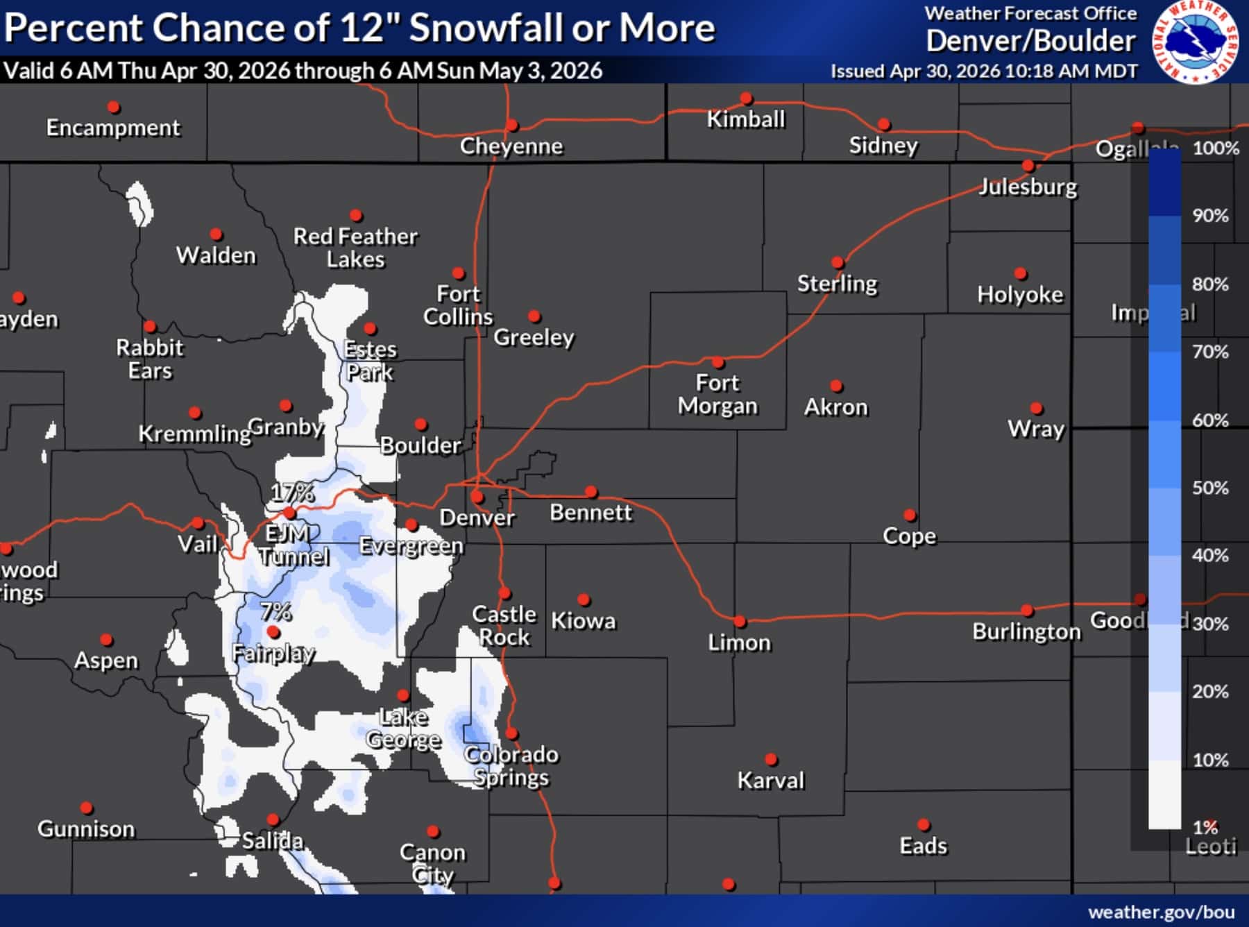
A Winter Weather Advisory covers a broad swath of Colorado’s mountain terrain from Thursday morning through Friday, with forecasters expecting significant snowfall across elevations above 9,000 feet. The National Weather Service offices in Denver and Pueblo issued the advisories, both which took effect at 6am Thursday and expire at various points Friday depending on location.
Where Is Snow Expected
The affected area stretches across some of Colorado’s most heavily traveled mountain corridors, including Rocky Mountain National Park, the Indian Peaks, the Mosquito Range, South Park, Summit County, the Medicine Bow Range, Berthoud Pass, and areas near Breckenridge, Winter Park, and Fairplay. Further south, the advisory also covers the Wet Mountain Valley, including the towns of Silver Cliff and Westcliffe.
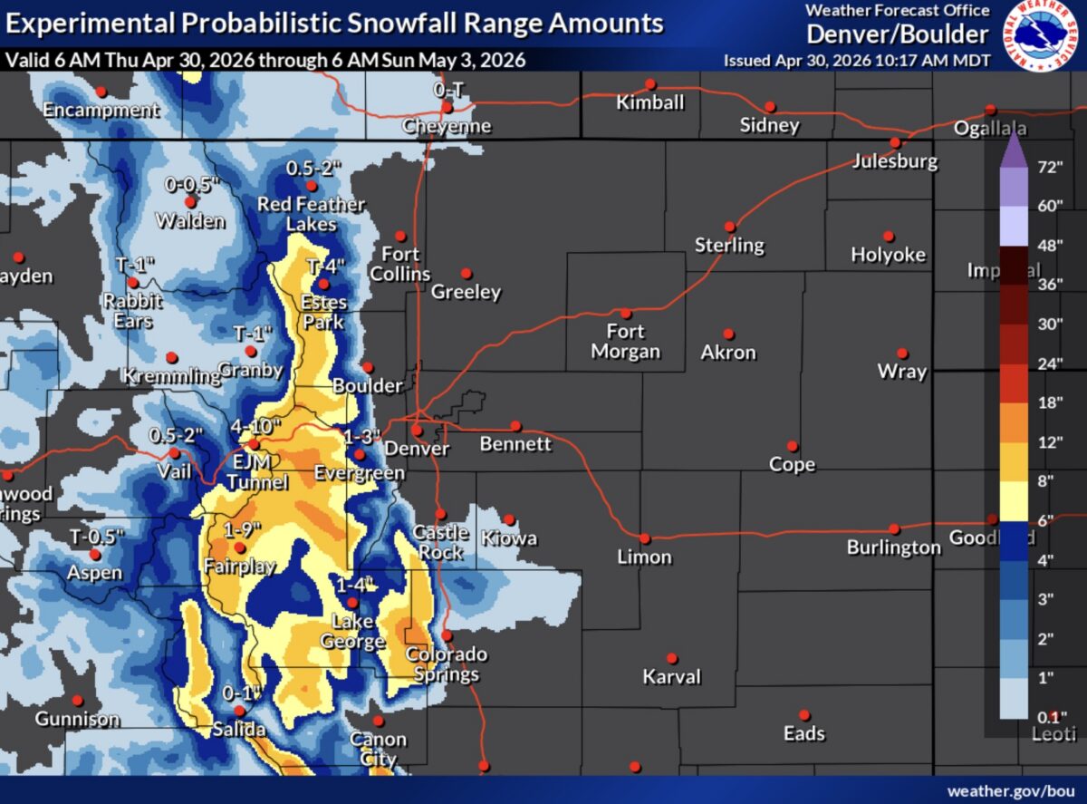
Expected Snow Totals
Accumulations will vary considerably by location. The Front Range Mountains south of I-70 and the Mosquito Range are expected to see the heaviest snowfall, with totals between 5 and 13 inches possible. Summit County valleys will see lighter accumulations. In the Wet Mountain Valley, forecasters are calling for 3 to 7 inches, with higher amounts near the upper terrain. The Western Mosquito Range and portions of Chaffee and Lake counties above 9,000 and 11,000 feet respectively can expect 5 to 10 inches.
Travel Impacts
Road conditions are expected to deteriorate significantly, with wet, slushy, and snowpacked surfaces likely on mountain passes and high-elevation routes throughout the advisory period. The Thursday evening commute is specifically called out as a window of hazardous travel conditions.
Motorists heading into the mountains are advised to slow down, allow extra travel time, and check current road conditions before departing. Colorado road conditions are available at cotrip.org or by calling 511. The advisory remains in effect through 6am Friday for most of the Denver forecast zone and through noon Friday for areas under the Pueblo office’s forecast area.