
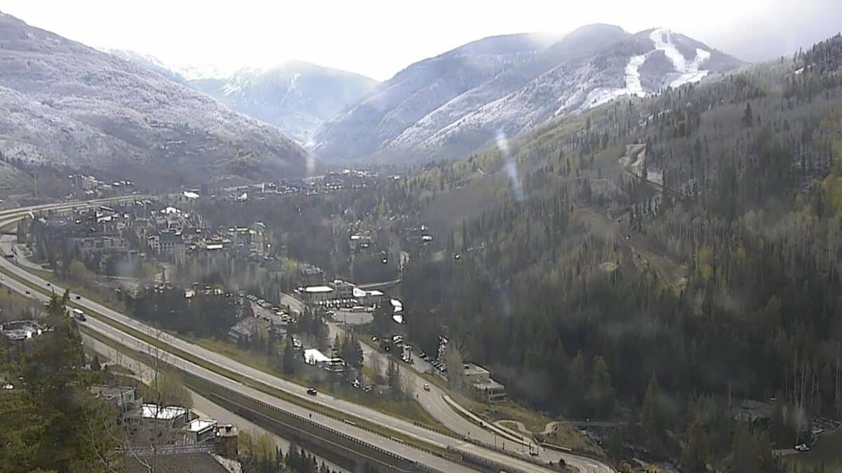
After weeks of alarming declines Colorado’s snowpack appears to have stabilized, offering a cautious but welcome sign heading into what had been shaping up as a potentially catastrophic fire season.
9News Senior Meteorologist Chris Bianchi delivered this positive update yesterday, April 29th. Snowpack levels remain well below normal, but the rapid melt seems to have slowed considerably. A historic heat wave in late March sent snowpack levels plummeting at an unprecedented rate, putting Colorado on pace for its earliest meltoff ever recorded. But over the past few weeks a more typical spring weather pattern has taken hold, with mountain snow falling every three to four days before partially melting off, then building again.
The earliest meltoff in recorded history occurred on June 4th, 2012, a year that saw two of Colorado’s most destructive wildfires, the High Park Fire and the Waldo Canyon Fire. That 2012 comparison had been the benchmark against which this spring was being measured. Now it appears likely that the snowpack will hold into mid-June, which could meaningfully reduce fire risk.
Additional snow is expected in the coming days, with another storm system possible the following weekend. The cool and wet pattern looks to remain in place into mid-May which would further buffer conditions that appeared to be trending toward a dangerous early summer just a few weeks ago.
Bianchi was careful to temper expectations, acknowledging the snowpack is still in poor shape overall, but after a stretch of deeply troubling trends the stabilization seems to be a meaningful and positive turn. Colorado is not out of the woods heading into fire season, but the outlook is notably better than it appeared just a month ago.