
Big thanks to our favorite Meteorologist Chris Tomer for delivering his expert predictions to help inform our ski decisions in coming days.
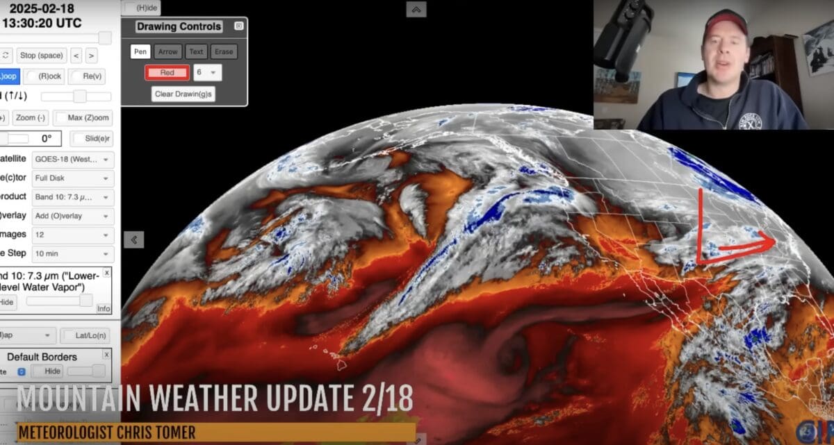
Here’s the deal, the next round of moisture will be moving into the Pacific Northwest February 19th before spreading out into Utah, Idaho, Wyoming, and Colorado through February 21st.
Interior British Columbia and the Northern Rockies should see snowfall between February 20th-23rd, with heavy accumulations expected. Ski resorts in the Tetons, Wasatch, and Colorado’s high country could pick up another 8-10 inches, while parts of Idaho and Montana could see 16-20 inches from this storm cycle.
This active pattern will keep funneling moisture into the Pacific Northwest and British Columbia through February 24th. Expect up to 2-3 feet of fresh snow in the Cascades and BC’s interior, with some spillover into northern Idaho and Montana.
Meanwhile, the Northeast will see only light snowfall, as a passing system looks to stay south:
Snow Timeline:
Wasatch: PM 2/19-2/20(M/H)
Tetons: 2/18(L/M), 2/19-2/20(M)
Colorado: 2/18(L), Late 2/19-2/20(L/M)
Interior BC: PM 2/19-2/21(L), 2/22-2/24(H)
PNW: 2/19(H), 2/21-2/24(H)
Tahoe: 2/19(L)
Northeast: PM 2/20-2/21(L), PM 2/23-2/24(L)