

24 Hours: 8″ | 48 Hours: 19″ | Base Depth: 50″
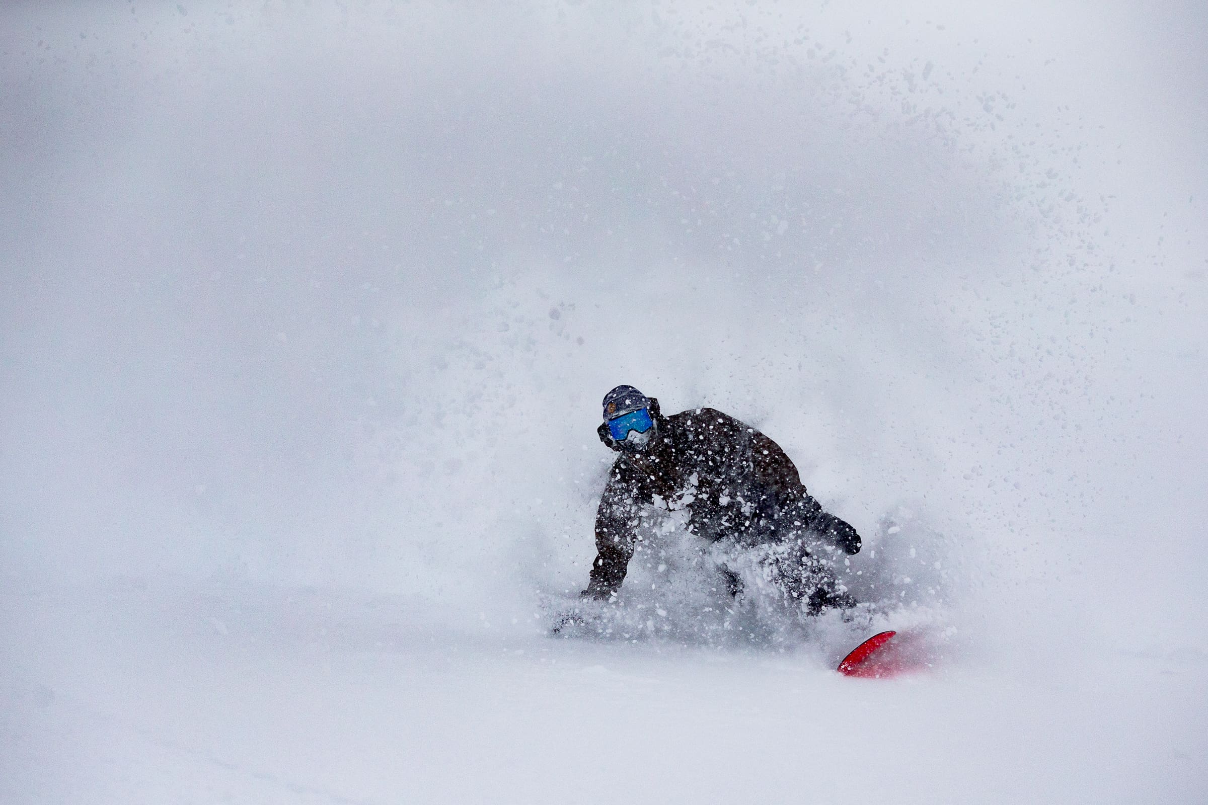
The snow is coming down in sheets along the Mammoth Crest and Mammoth Mountain will be sitting pretty by Sunday.
All in all, some 60″ of snow is forecasted by Sunday. Skies will clear sometime late Saturday evening/Sunday morning and the weekend is set to go out with a bluebird bang.
Mammoth Forecast:

Storm Highlights:
- 9-12″ currently on the ground at the Main lodge
- Forecast calling for 60″ of snow at Mammoth’s summit, with 2.5 feet falling in town over the next three days
- This is coming in addition to the two feet that fell over thanksgiving
- Mammoth has more terrain open than any resort in CA/ NV and will be opening a bunch more as soon as crews are able following this series of storms
- Drivers should exercise caution on the road, check CalTrans for the latest on conditions
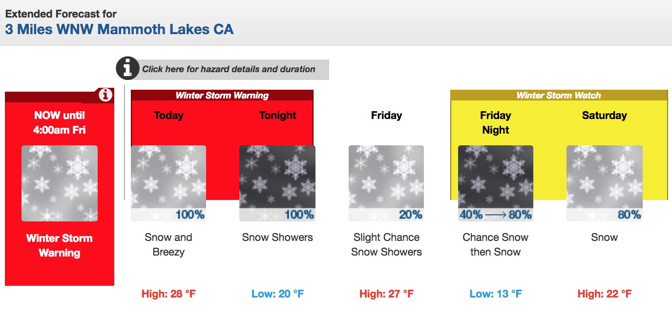
Winter Storm Warning:
…WINTER STORM WATCH REMAINS IN EFFECT FROM FRIDAY EVENING THROUGH SATURDAY EVENING…
* CHANGES…None.
* WHAT…Periods of moderate to heavy snow. Total snow accumulations of 5 to 10 inches above 5500 feet, except 1 to 3 feet above 7000 feet. Winds gusting as high as 70 mph over exposed ridges. Heavy snow possible Friday night. Total snow accumulations of 5 to 10 inches, except 10 to 18 inches above 8000 feet possible.
Multiple winter storms are still on track to bring significant snowfall to the Sierra through Saturday. As much as 5 feet of snow along the Sierra crest south of Tahoe can be expected, with locally higher amounts. Significant travel impacts can be expected as well. #CAWx #NVWx pic.twitter.com/5aavaatbEp
— NWS Reno (@NWSReno) November 28, 2018
* WHERE…Mono County.
* WHEN…For the Winter Storm Warning, through 4 AM PST Friday. For the Winter Storm Watch, from Friday evening through Saturday evening.
* ADDITIONAL DETAILS…Travel could be very difficult to impossible. The hazardous conditions could impact the morning or evening commute. Heavy, wet snow Friday morning could increase chances for tree damage.
Winter Storm Watch:
…WINTER STORM WATCH REMAINS IN EFFECT FROM FRIDAY EVENING THROUGH SATURDAY EVENING…
* CHANGES…None.
* WHAT…Periods of moderate to heavy snow. Total snow accumulations of 5 to 10 inches above 5500 feet, except 1 to 3 feet above 7000 feet. Winds gusting as high as 70 mph over exposed ridges. Heavy snow possible Friday night. Total snow accumulations of 5 to 10 inches, except 10 to 18 inches above 8000 feet possible.
* WHERE…Mono County.
A series of storms will bring multiple rounds of rain & snow to the Sierra, with mainly rain for W NV valleys. The best chance for snowfall across W NV valleys may not happen until Sat, but confidence is low. Expect significant travel impacts in the Sierra by Wed night & Thurs. pic.twitter.com/fuOEi9j6iM
— NWS Reno (@NWSReno) November 27, 2018
* WHEN…For the Winter Storm Warning, through 4 AM PST Friday. For the Winter Storm Watch, from Friday evening through Saturday evening.
* ADDITIONAL DETAILS…Travel could be very difficult to impossible. The hazardous conditions could impact the morning or evening commute. Heavy, wet snow Friday morning could increase chances for tree damage.
Find out more here: Mammoth Mountain Snow Report