
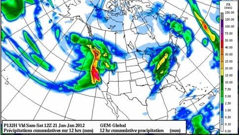
We started talking about a pattern change for mid-January about a month ago and the storms are finally knocking at the door. They have been more than a long time coming as this Friday would be 2 months since the last accumulating snows in Tahoe. We have several storms on the way for the next 10 days and they aren’t bringing snow in inches.
Here is the setup with a large high pressure setting up over the Bering Sea and Eastern Siberia this week. That forces the storms coming across the Pacific underneath. Cold low pressure sets up in the Northeast Pacific and directs the jet stream underneath into CA with a long tap across the Pacific pulling in some subtropical moisture.

The result will bring in several waves of heavy precip this week. The first will move in by Wednesday night into Thursday, the second on Friday, and the third on Sunday. The first storm looks to keep the heaviest precip to the North of Tahoe but will bring up to a half inch of liquid to the Tahoe Basin. The snow levels with this first storm look to be around 7000 ft. through Thursday. Above 7000 ft. we could see 3-6 inches of snow with maybe a few inches more along the crest.
Then the big storm moves in on Friday bringing copius amounts of precip.

The question will be how high do the snow levels go with the warm subtropical moisture tap and how quickly do they fall Friday night into Saturday with the cold front. Right now it looks like the snow levels could rise above 8000 ft. at the start and then slam down to lake level by Saturday. Models show 3-4+ inches of liquid so above 8000 ft. where it’s all snow we could see 3-4 feet with the first half of that being Sierra cement. Then as the snow levels fall we could pick up a foot or two above 7000 ft. and several inches to maybe a foot at lake level. Below 8000 ft. it’s a tricky forecast as it’s a race between the snow levels falling and how fast the heaviest precip moves South on Saturday.
The third storm for Sunday into Monday looks like it will be cold enough for all snow down to Lake Level. This storm currently looks like it could bring in another 1-2+ inches of liquid resulting in 2-3 feet above 7000 ft. and along the crest with 1-2 feet down to lake level. Here is the total precip map off the GFS model through Monday with the lighter orange being 4-6 inches of liquid.

Above 8000 ft. to the West side of the lake along the crest that could equate to 6 or more feet through Monday. Below that and Eastward amounts go down. Snow levels obviously make a big difference for the lower elevations so we will have to watch them as the storm get closer and through the event.
There is anther storm behind these that could hit next Tuesday into Wednesday and bring another decent dump of snow. After that it looks like the trough along the Northwest coast could back a little West turning the flow Southwest and pushing the storm track back to the North of Tahoe. Looking at the Pacific North American teleconnection (PNA) the forecast has it continuing to go negative through the end of the month. That would argue for a continued trough near the West coast so any ridge should hopefully be short-lived. We’ll worry about that after the next 10 days of storms. BA