

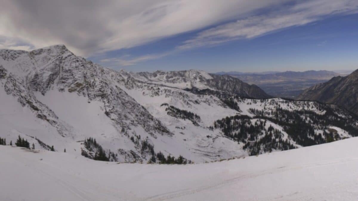
The Beehive State — After a below-average winter last go-around, Utahns were stoked to see snow last week. It even brought measurable snow to the Cottonwood Canyons, with skiers and riders getting turns in at higher elevations.
This is great and all, but does this mean that it’s sticking around?
The answer is a mixed bag for skiers. Evan Thayer of Utah Daily Snow provides forecasts that many skiers and riders rely on. Passionate skiers have probably asked him a million times over the past week whether the snow will stick around.
His take is that the snow preservation will only occur on north-facing and shady slopes above 9,000 feet. Below that elevation, and on south- and west-facing slopes, most of it will likely melt. This likely bodes well for some slopes at Alta, Brighton, and Snowbird.
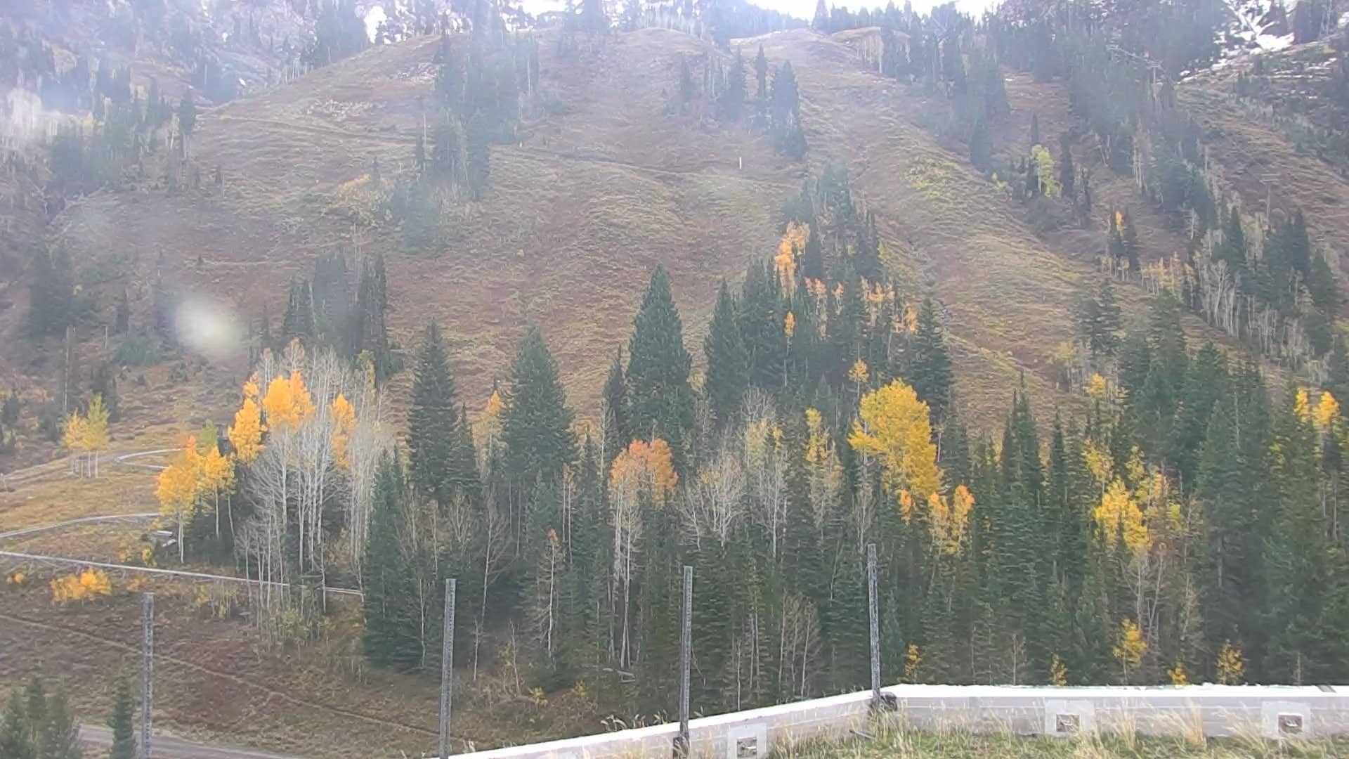
As webcams show this Tuesday morning, lower elevation snow at the Cottonwood ski resorts has melted. Even some parts of the upper mountains are showing grass again. It’s October, after all.
The good news is that additional waves are coming. This week could see another system (albeit a warm one) that brings more snow to the Wasatch. Near the end of October, another front is forecast that could bring even more snow.
This means an early base for some Utah ski resorts, something that couldn’t be said for last November.
Image/Video Credits: Snowbird, Utah Daily Snow
