

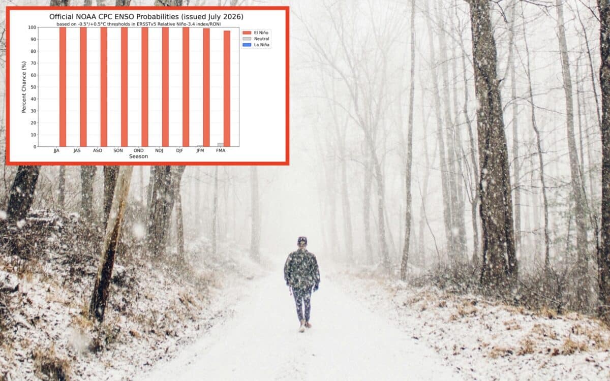
El Niño is intensifying and could rank among the strongest events ever recorded, according to the latest update from NOAA’s Climate Prediction Center.
The agency said on Thursday, July 9th, that El Niño will continue strengthening through the end of 2026, with a 97% chance it persists through early spring 2027. Forecasters now put the odds at 81% that a “very strong” El Niño develops between October and December, which would place it among the most powerful events since record keeping began in 1950.
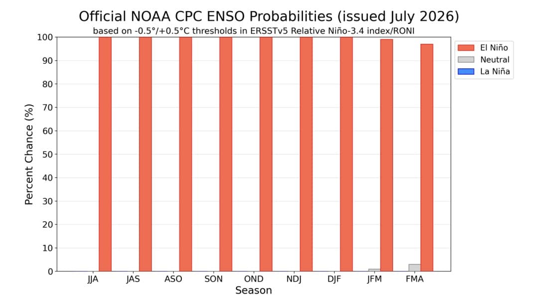
Sea surface temperatures across the central and eastern equatorial Pacific have risen more than 1 degree Celsius above average over the past month, and the closely watched Niño-3.4 index, a key measure of El Niño strength, sits at 1.2 degrees Celsius, while the eastern Pacific region near South America is running even hotter at 2.7 degrees above normal.
Scientists pointed to a recent downwelling Kelvin wave, a subsurface pulse of warm water, as a driver behind the recent warming. Wind patterns and cloud cover across the Pacific are also lining up with a classic strengthening El Niño signature, with enhanced storm activity over the central Pacific and drier conditions over Indonesia.
Even the strongest El Niño events don’t produce the same effects everywhere, though more intense episodes tend to shift the odds more heavily toward expected seasonal patterns across North America. Typically that means a wetter Southern tier of the US and a milder, drier winter across the northern states, though the outcomes vary by region and season.