
Borneo, the third largest island on Earth, is one of the most geographically remarkable places on the planet. Despite being widely recognized as a land of ancient jungle, it harbors a collection of natural records, political anomalies, and archaeological discoveries that most people know nothing about. Geography by Geoff took a look at this fascinating island and broke down why it stands apart from anywhere else on Earth.
Borneo covers roughly 287,000 square miles, making it not only the largest island in Asia but a landmass so vast that its interior remains largely unreachable today. Its rainforests are estimated to be around 130 million years old, significantly predating the Amazon, largely because the island’s equatorial position allowed it to escape the devastating climatic shifts of the last ice age.
Underground, Borneo holds a staggering record. The Sarawak Chamber, discovered in 1981 inside Gunung Mulu National Park, is the largest known cave chamber in the world by surface area, measuring approximately 2,000 feet long and 377 feet high.
Above ground, Mount Kinabalu rises to 13,435 feet and hosts more than 5,000 plant species across its distinct ecological zones, including carnivorous pitcher plants large enough to hold over three liters of water.
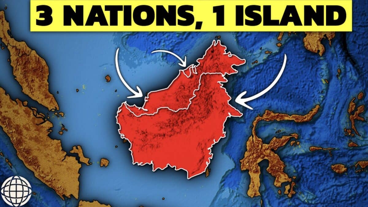
Borneo’s political geography is equally remarkable. It is the only island on Earth legally administered by three separate sovereign nations. Indonesia controls roughly 73% of the landmass, Malaysia holds approximately 26%, and Brunei occupies the remaining 1%. Those borders were not drawn by geography but by European diplomats, largely through the Anglo-Dutch Treaty of 1824.