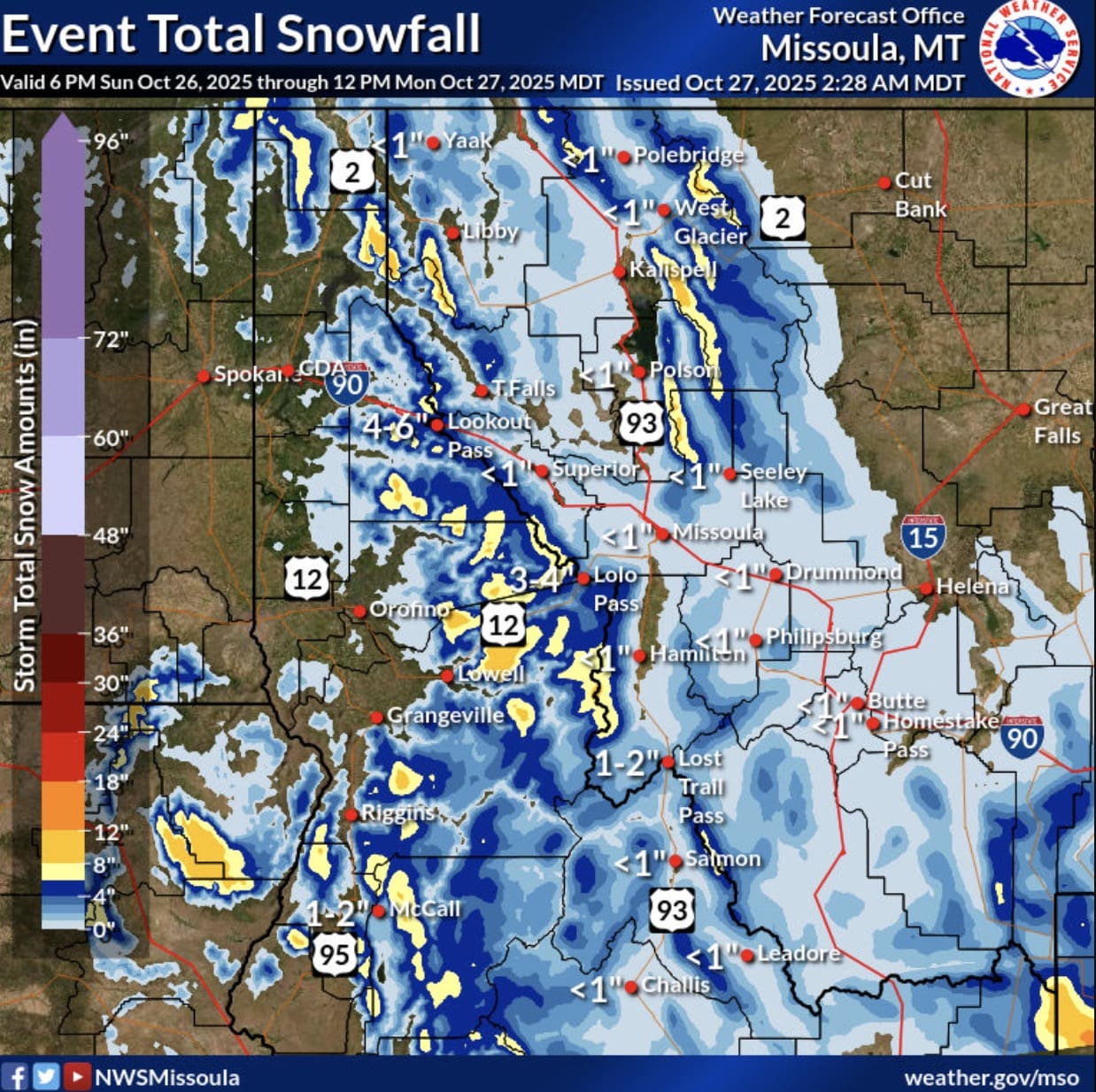
Winter weather is here, with early-season snowfalls set to hit the high country across Utah, Wyoming, and Eastern Idaho today. The National Weather Service (NWS) has issued Winter Weather Advisories for multiple mountain ranges throughout those states, with snow accumulations potentially reaching up to and over a foot in some locations.
The advisories cover mountainous areas including Utah’s Wasatch and Uinta Mountains, Wyoming’s Wind River Range and Salt River/Wyoming Ranges, and Idaho’s Bear River and Caribou Ranges. Challenging winter driving conditions are possible on mountain passes and highways, with the highest snow totals falling above 8,500 feet.

Winter Weather Advisory Details
Utah – Wasatch Mountains I-80 North: Snow accumulations of 4-8 inches north and east of I-84, with up to 12 inches possible in some areas of the Bear River Range. The Wasatch Rangenear to I-15 will see lighter amounts of between 1 and 4 inches. The highest totals will remain above 8,500 feet. Expect winter driving condition on US-89 through Logan Canyon and higher portions of Monte Cristo (SR-39) east of Ogden.
Utah – Western Uinta Mountains: 4-8 inches of snow expected above 8,500 feet, including along Mirror Lake Highway.
Idaho – Bear River Range, Caribou Range, Big Hole Mountains, Centennial Mountains/Island Park: Accumulations of 2-4 inches with up to 6 inches possible in eastern mountain areas. Winds gusting as high as 40 mph will create patchy blowing snow and could cause reduced visibility at times.
Wyoming – Wind River Mountains (East and West): 15-20 inches of snowfall is expected above 10,000 feet and 8-15 inches between 9,000-10,000 feet. Generally less than 8 inches below 9,000 feet. Union Pass could see 4-8 inches, while South Pass expects 2-4 inches. Winds gusting to 60 mph will make travel very difficult.
Wyoming – Salt River and Wyoming Ranges: Total accumulations between 6-14 inches above 8,000 feet with lesser amounts at lower elevations. Salt River Pass could see 2-5 inches. Winds gusting to 45 mph expected.
The advisories remain in effect until noon or 3pm MDT Monday, depending on location. Impacts can include slippery mountain roads and challenging conditions for hunters and backcountry enthusiasts. The NWS is encouraging drivers to slow down and use caution in these areas. For the latest snowfall forecasts in Utah, visit weather.gov/slc/winter or weather.gov/riw/winter for Wyoming. Road conditions are available at udottraffic.utah.gov and wyoroad.info.

