

The Lake Tahoe area is getting absolutely slammed with heavy snowfall thanks to an atmospheric river that has created a ‘bomb cyclone’. It’s currently pushing its way through the west, and the storm is expected to continue to Wyoming, Utah, and Colorado tonight. The Sierras are expected to get the most snow from the storm.
It’s been dumping 3-4″ per hour at some parts of the Northern Sierra according to Powderchasers, and it looks like storm totals could reach 3-5′ for some areas by tomorrow afternoon/evening.
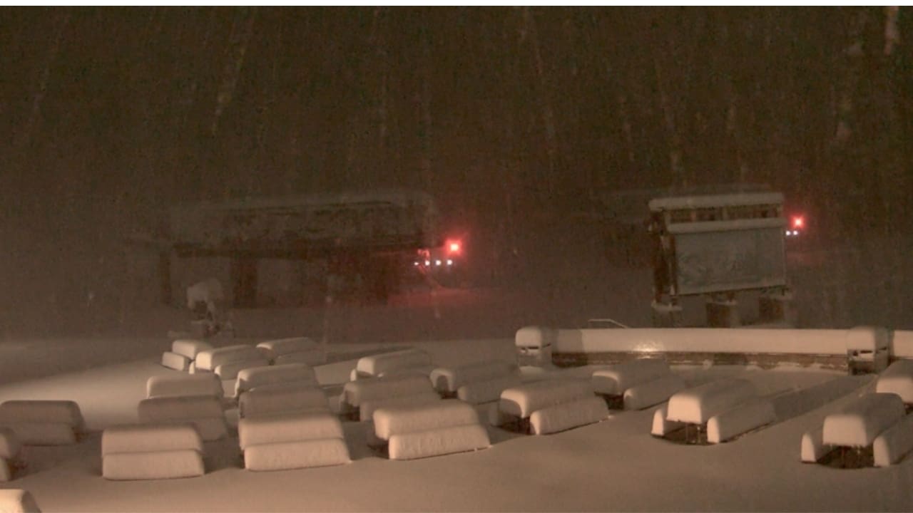
Take a look at some of the webcams from the ski resorts in the region! Looks like it’s nuking on these mountains. Here’s to hoping it’s that good ‘base building’ snow we all talk about…
All reported/expected snowfall totals are being pulled directly from each resort’s website. Please note that most resorts aren’t reporting accurate snowfall totals as they are not open for the season yet.
Expected snowfall totals are from now moving forward. Most of these predictions seem to be on the lower end of what this storm could deliver. Stay tuned this week to see how much the resorts ended up getting!
All webcam images captured around 11:30 AM ET on 10/25/21.
Palisades Tahoe (Formally Squaw Valley), CA
Reported Snowfall: 7″ at base, 18″ at summit
Expected Snowfall: 6-12″


Kirkwood Mountain Resort, CA
Reported Snowfall: 20″
Expected Snowfall: N/A
Heavenly Ski Resort, CA/NV
Reported Snowfall: N/A
Expected Snowfall: 12/18″


Homewood Mountain Resort, CA
Reported Snowfall: N/A
Expected Snowfall: 8-13″


Mt. Rose Ski Tahoe, NV
Reported Snowfall: N/A
Expected Snowfall: N/A


Sugar Bowl Resort, CA
Reported Snowfall: N/A
Expected Snowfall: N/A


Honorary Mention: Mammoth Mountain, CA
Reported Snowfall; 2-3″
Expected Snowfall: 21-27″


Featured Image: Sugar Bowl Ski Resort webcam capture from 5AM.