

A Winter Storm moved into Colorado’s high country last night and it’s looking like winter again from Steamboat to Loveland Ski Area.
Related: Powder Alert: Winter Storm Warning for Denver, CO
But what really on our minds today is whether or not A-Basin goes and opens their slopes this weekend. Loveland has hinted at a mid-late October opening, which has us thinking they still have a ways to go but A-Basin remains optimistic and we like that.
“Columbus Day will be unseasonably cool with daytime temperatures more than 10 degrees below average. Northerly winds and clearing skies due to an upper level low moving over southeast Colorado will bring near freezing temperatures into many of the valleys of Eastern Utah and Western Colorado overnight tonight. In addition to these cold temperatures, a Winter Weather Advisory is in effect for the mountains of northwestern Colorado until this evening due to scattered snow showers associated with the upper level low.” – NWS Grand Junction
NOAA is currently forecasting another 4″ atop of 3″ from last night for Loveland Pass, bringing the storm total to 7″ over the last 24 hours. Look for areas of Rocky Mountain National Park and the Medicine Bow Range to see upwards of 10″ by the time it’s all snowed and done.

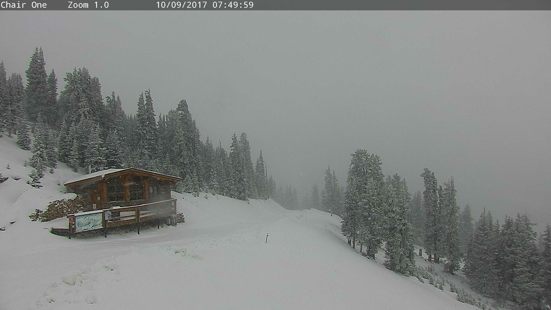
Loveland Pass:


Longs Peak:


Winter Storm Warning
…HEAVIEST SNOW WILL FALL THIS MORNING…
Rain has mixed with and changed to snow over most of the plains early this morning. Mainly light snow fell overnight, although intensity will increase this morning. Snow will decrease from northwest to southeast by afternoon, with improving weather conditions.

Rocky Mountain National Park and the Medicine Bow Range- The Mountains of Summit County, the Mosquito Range, and the Indian Peaks-The Northern Front Range Foothills- The Southern Front Range Foothills-
Including the cities of Cameron Pass, Laramie and Medicine Bow Mountains, Rabbit Ears Range, Rocky Mountain National Park, Willow Creek Pass, Berthoud Pass, Breckenridge, East Slopes Mosquito Range, East Slopes Southern Gore Range, Eisenhower Tunnel, Indian Peaks, Kenosha Mountains, Mount Evans, Williams Fork Mountains, Winter Park, Estes Park, Glendevey, Nederland, Red Feather Lakes, Bailey, Central City, Evergreen, Georgetown, Idaho Springs, and Westcreek
— 413 AM MDT Mon Oct 9 2017
…WINTER STORM WARNING REMAINS IN EFFECT UNTIL 3 PM MDT THIS AFTERNOON…
* WHAT…Heavy snow occurring. Plan on hazardous and slow travel
conditions, including during the morning commute. Additional
snow accumulations of 3 to 7 inches are expected.
* WHERE…Rocky Mountain National Park and the Medicine Bow
Range, The Mountains of Summit County, the Mosquito Range, and
the Indian Peaks, The Northern Front Range Foothills and The
Southern Front Range Foothills.
* WHEN…Until 3 PM today.
* ADDITIONAL DETAILS…Be prepared for significant reductions in
visibility at times.