

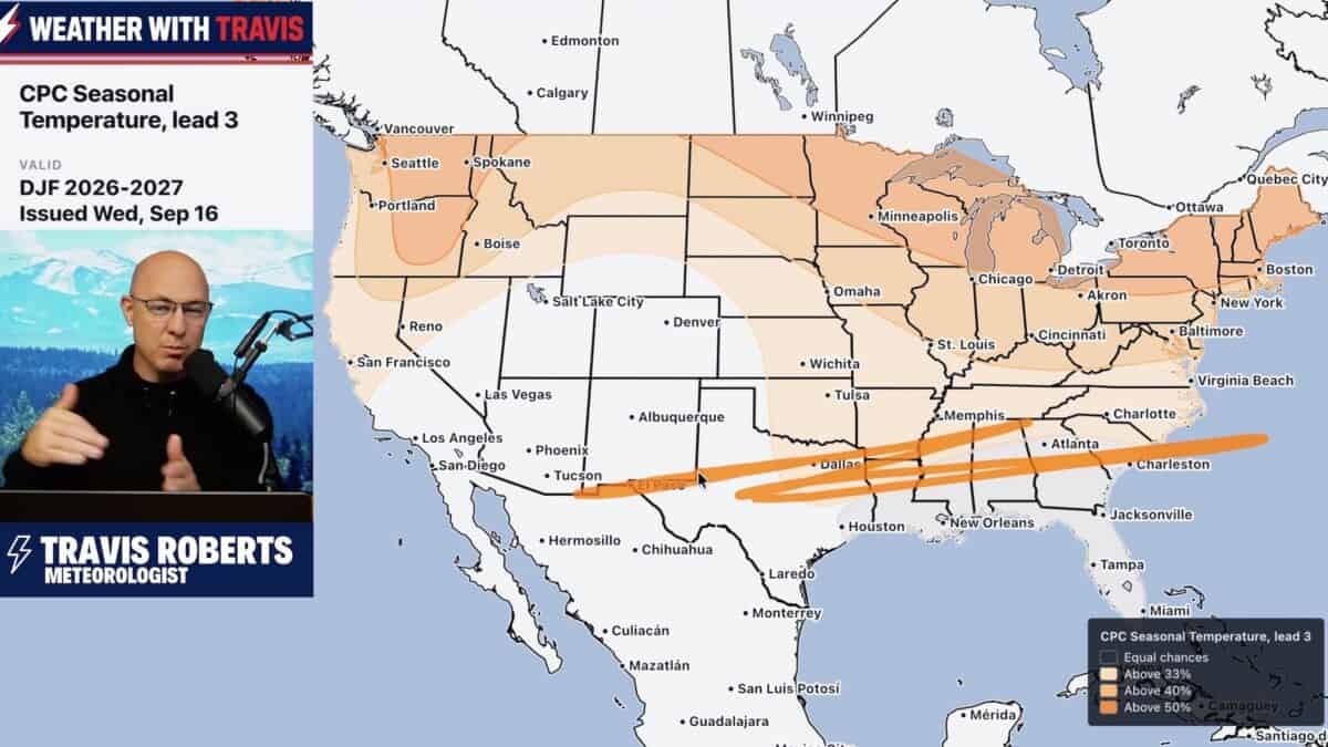
We’re still a few months away from winter 2026/2027, but the large scale weather pattern is already beginning to offer clues about where the biggest storms could develop. According to meteorologist Weather With Travis, the developing pattern could favor an active storm season across parts of the western and southern United States, with opportunities for significant snow when storms encounter strong pushes of cold air.
Travis emphasized that it is far too early to determine exactly which cities or regions will see the biggest snowstorms. Instead, the current pattern can help identify areas that may have an increased opportunity for major winter weather.
The West Could See An Active Storm Track
One of the most notable signals is developing across the Pacific. Travis expects the storm track to gradually shift farther south as winter approaches, potentially sending moisture into California, the Pacific Northwest, and parts of the Southwest.
A strong El Niño is developing, but Travis cautioned against assuming that previous strong El Niño winters will simply repeat themselves. The Pacific Decadal Oscillation is in a different phase than it was during several of the major El Niño winters used for comparison.
That difference could influence the position and strength of the Pacific jet stream and ultimately determine where major storms travel.
Southern States Could Be Stormier
Seasonal precipitation forecasts are already pointing toward a wetter pattern across the southern United States. NOAA is leaning toward above average precipitation across the southern tier during November through January, while drier conditions are favored across the northern tier and around the Great Lakes. That general pattern continues into December through February.
A wet southern storm track could become particularly important if cold air pushes south at the same time. Travis said the combination of an active southern jet and a strong surge of cold air could produce significant snowstorms, even if overall winter temperatures average above normal.
Cold Air Will Determine Where Big Snow Falls
The biggest question heading into winter will be whether enough cold air can move south and interact with the active storm track.
Travis pointed to the developing cold reservoir across Alaska and the possibility of additional cold air arriving from the north. He also highlighted the potential importance of Greenland blocking, which could help send shots of colder air into the United States.
That setup could create major storms when cold air and moisture converge, although the location of those storms cannot be determined months in advance.
Travis expects December could begin warmer across many areas before winter becomes more established. At the same time, he is watching the northern Rockies for an earlier opportunity for significant snow during the middle of October.
