Some of the world’s leading avalanche researchers, forecasters, ski patrol professionals and mountain-safety experts are in Whistler this week for the 2026 International Snow Science Workshop.
The five-day International Snow Science Workshop began Sept. 28 and runs through Oct. 2 at the Whistler Conference Centre in British Columbia. The gathering brings together scientists and people working directly in avalanche terrain, with the stated goal of merging new research with the practical problems faced by ski resorts, highway crews, guides and avalanche forecasters. Full conference registration has already sold out.
Rather than focusing exclusively on academic research, ISSW is built around taking new ideas about snow and avalanches and applying them to real world mountain operations. This year’s technical program includes sessions on new scientific discoveries as well as avalanche risk management in ski areas, transportation corridors, backcountry guiding and public forecasting.
Whistler itself becomes part of the classroom
On Wednesday, conference attendees will leave the meeting rooms for technical field trips around the Whistler area, including a behind-the-scenes look at Whistler Blackcomb’s avalanche-control program.
The Whistler Blackcomb site visit is expected to examine how one of North America’s largest ski resorts manages complex avalanche terrain, including explosives, terrain management and newer technologies. Organizers say participants may get a look at proposed Remote Avalanche Control System installations that could make Whistler Blackcomb one of the first Canadian resorts to use the technology, along with radar systems designed to remotely detect avalanche activity.
Another field trip examines avalanche mitigation along British Columbia’s Duffey Lake Road, where transportation crews manage steep avalanche paths above Highway 99. The program includes remote avalanche-control systems, engineered mitigation such as diversion berms and catchment areas, and the use of real-time weather information, snowpack analysis and avalanche forecasts to determine when the highway can remain open safely.
Those are exactly the kinds of problems ISSW is designed to address. A new piece of avalanche research may begin in a laboratory or computer model, but its eventual application could determine how ski patrol opens terrain, how a highway department manages a mountain pass or how a public forecaster communicates danger to backcountry skiers.
The public gets access Wednesday
The conference is primarily aimed at snow and avalanche professionals, but Wednesday’s Public Snow and Avalanche Workshop opens part of the event to anyone interested in backcountry travel.
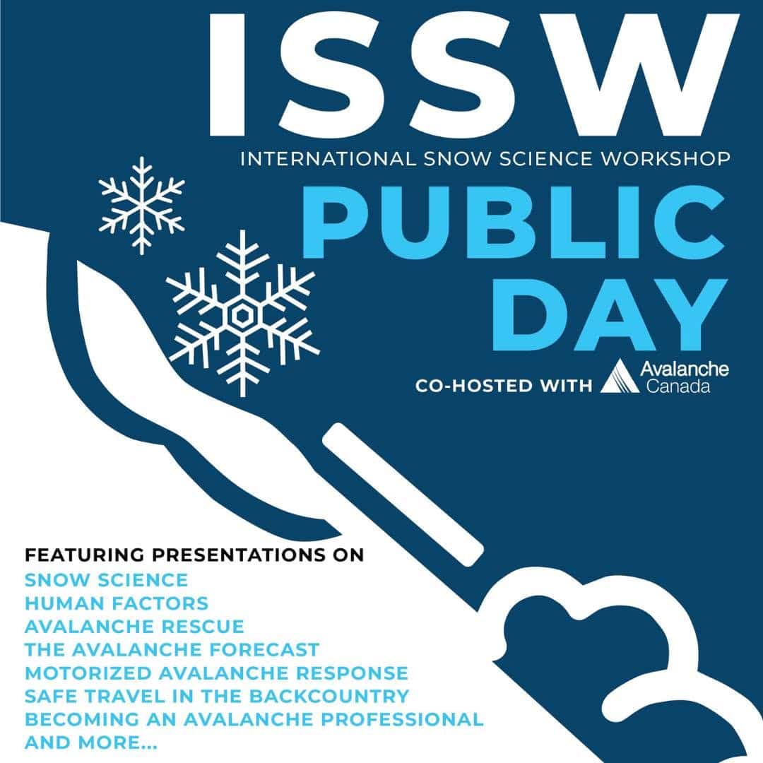
The Sept. 30 event runs from 10 a.m. to 5 p.m. and is being held with Avalanche Canada. No professional experience is required, and organizers say presentations will cover multiple perspectives on backcountry avalanche safety. Attendees will also be able to examine research posters from the professional conference, speak with presenters and explore avalanche-safety technologies and equipment. Tickets are C$40.
That creates an unusual opportunity for recreational skiers and snowboarders to see research that would normally circulate primarily among forecasters, scientists and avalanche professionals.
Avalanche forecasting is becoming increasingly digital
Several of this year’s events also show how rapidly avalanche work is moving beyond traditional snow pits and field observations.
Workshops surrounding ISSW include the use of computer snowpack models in operational forecasting, automated avalanche-terrain mapping and the use of satellite imagery and digital elevation data to identify avalanche exposure. One workshop will examine how snowpack modeling can be incorporated into daily avalanche forecasting, including open-source tools that attempt to simulate how snow layers develop over time.
Another workshop focuses on automatically creating Avalanche Terrain Exposure Scale maps using freely available elevation data and satellite imagery. Participants will work with tools capable of identifying potential avalanche-release areas, modeling runout and classifying terrain.
Those tools do not eliminate the need for experienced forecasters in the field. Another ISSW session specifically addresses the limitations of digital avalanche maps and the danger that recreational users can become overly confident in what those maps appear to show.
Research that eventually reaches skiers
For most skiers, the science discussed in Whistler this week will never be visible.
They may see the results instead through a more accurate avalanche forecast, a new piece of terrain-management technology at a ski area, a remotely triggered avalanche above a highway or a better map used while planning a backcountry tour.
That is the basic premise behind the International Snow Science Workshop. The researchers studying how snow behaves and the people making daily decisions in avalanche terrain are spending a week in the same place, comparing what works, what does not and what might come next.
The conference continues through Oct. 2, with additional workshops scheduled for Oct. 3 on avalanche forecasting, terrain mapping, snowpack modeling and ski cutting.