

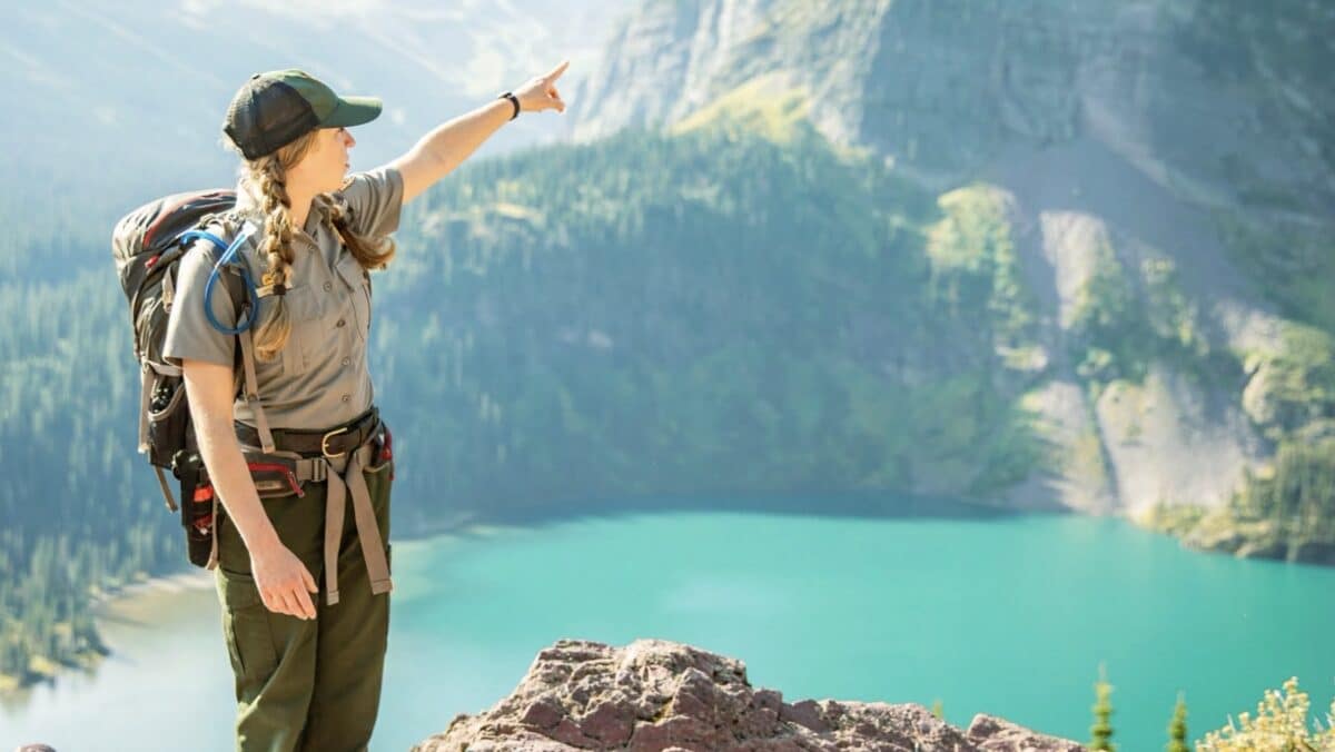
From Denali to Yosemite, these mountain hikes have a short autumn window. Here’s where to go—and which roads and trail closures to check before leaving home.
The best fall hike might be the one you have to take now. Across the mountains, a clear September morning can turn into a snowy road closure overnight. Some park roads have announced seasonal closing dates; others stay open only as long as conditions allow.
These five hikes offer a reason to make the trip while their high country trailheads are accessible. Road status below was checked September 28, 2026. It is a planning snapshot, not a promise that a road or trail will be open on the day you arrive.
CHECK BEFORE YOU GO: Open the park’s linked conditions page on the morning of your hike. Check the road, the specific trail, the forecast, and any fire or wildlife closures. A road’s scheduled closing date is the latest planned window, not a guarantee of access.
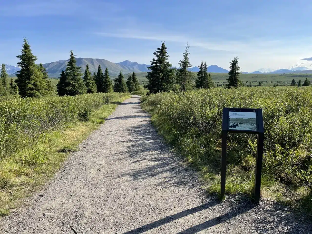
Alaska: Mountain Vista Loop, Denali National Park
Photo to lead this section: a hiker small against the broad Savage River Valley, with autumn tundra in the foreground.
Denali’s Mountain Vista Loop delivers an enormous landscape in a short walk: 0.6 mile round trip. On a clear day, the trail’s open views make it a memorable stop even for visitors who have no plans for a longer backcountry hike.
The road window: As of this update, Denali says private vehicles may drive as far as Teklanika at mile 30, conditions permitting. The park plans to keep the road accessible through October 15, but snow or ice could move the closure back to Mountain Vista at mile 13 or even Park Headquarters near mile 3 at any time. Check Denali’s current conditions before setting out.
Why go now: Fall visitors have a brief chance to drive farther into the park in their own vehicles. If Mountain Vista is accessible and the clouds lift, a short hike can feel like a much bigger expedition.
Northern Rockies: Hidden Lake Overlook, Glacier National Park
Photo to lead this section: the trail above Logan Pass with Hidden Lake, Bearhat Mountain, and the first traces of snow in frame.
From Logan Pass, the hike to Hidden Lake Overlook is roughly 1.3 to 1.4 miles each way. It packs alpine terrain and a dramatic lake view into a relatively short outing. Stop at the overlook unless you have separately checked conditions for the descent toward the lake.
The road window: Glacier currently lists Going-to-the-Sun Road as open over Logan Pass from both entrances, but high elevation access can change with weather. Check Glacier’s current conditions and trail status immediately before your visit. Glacier temporarily closed an alpine section during heavy rain earlier this month and subsequently reopened it—a reminder that fall closures are not limited to snowfall.
Why go now: Logan Pass is the draw, and reaching its trailhead by car depends on the alpine road remaining open. For more on this season’s access, see our 2026 guide to Going-to-the-Sun Road.
Colorado Rockies: Tundra Communities Trail, Rocky Mountain National Park
Photo to lead this section: the trail crossing open tundra, with distant peaks and a strip of Trail Ridge Road below.
The Tundra Communities Trail is a 0.6-mile out-and-back that puts hikers in Rocky Mountain National Park’s alpine landscape without committing to a long route. The distance is short; the exposed setting calls for warm layers and a close watch on the weather. Stay on the designated trail to protect the fragile tundra.
The road window: The hike depends on access along Trail Ridge Road. The park says the road usually closes for winter by mid-October, and weather can force an earlier temporary closure. Check the park road status page, or call its recorded Trail Ridge Road status line at 970-586-1222 before driving up.
Why go now: A short walk here gives you the feeling of being far above the trees. That experience becomes harder to reach once the road closes to through traffic.
Wyoming: String Lake to Leigh Lake, Grand Teton National Park
Photo to lead this section: golden aspens framing still water and the Teton Range.
For a fall walk beneath the Tetons, take the trail from String Lake toward Leigh Lake. The National Park Service describes the Leigh Lake outing as an easy 1.8-mile round-trip hike, with mountain views along the eastern shore of String Lake.
The road window: The park lists the section of Teton Park Road from Taggart Lake Trailhead to Signal Mountain Lodge as closed to vehicles from November 1 through April 30. Check Grand Teton’s current conditions and road page for any earlier change or construction delay.
A 2026 trail note: You may see Taggart Lake recommended as another easy fall hike nearby. Its usual shorter northern route is closed for reconstruction this season; the park says access is via a longer, steeper southern out-and-back. Check that route before following an older hiking guide.
California’s Sierra Nevada: Soda Springs, Yosemite National Park
Photo to lead this section: the Tuolumne River winding through the meadow, with granite domes rising beyond it.
Yosemite’s Soda Springs walk offers a quieter high country scene than the park’s famous valley viewpoints. The National Park Service lists an easy, roughly one-mile round trip from the Glen Aulin trailhead through Tuolumne Meadows to the natural spring. Starting from a different parking area may change the distance.
The road window: The hike is reachable by car only while Tioga Road is open. Yosemite currently lists the road as open, but says it typically closes in October or November depending on conditions. Services in Tuolumne Meadows can be limited late in the season, so bring what you need for the day. Check Yosemite’s current conditions before driving.
Why go now: Once Tioga Road closes, a casual drive to Tuolumne Meadows is no longer possible. Also note that Glacier Point Road is currently closed because of the Dome Fire; do not assume another Yosemite high country road is available without checking its own status.
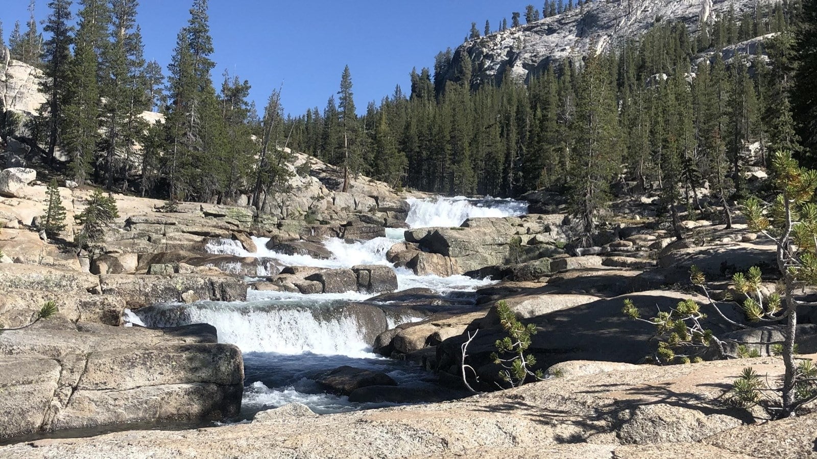
One famous fall drive to cross off this year
Mount Rainier’s Sunrise Road is closed to private vehicles for the remainder of the 2026 season. It remains open to pedestrians and bicyclists, but that does not make Sunrise a straightforward drive-up hiking recommendation. Fire-related trail closures also affect parts of the area. Consult Mount Rainier’s alerts before planning any route there.
Fall hiking rewards flexibility. Choose a trail you want to see, then choose a backup at a lower elevation. If the high road closes overnight, the trip can still be worth taking—just on a different trail.
Before heading out: Recheck the official park links above, look at the day’s weather, bring layers and water, and leave enough daylight for the return. Our national park hiking etiquette guide covers how to share these trails responsibly.
