

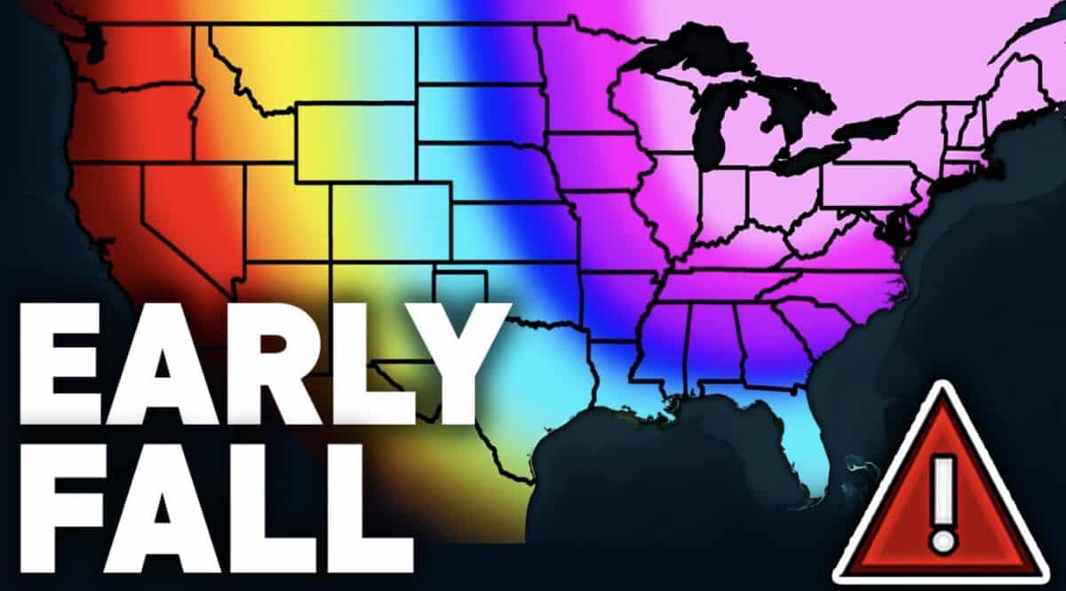
A new long range forecast from Direct Weather suggests much of the eastern United States could experience an unusually early taste of fall during the middle of August.
According to the latest model guidance, a strong weather pattern may send significantly cooler air from Canada into the central and eastern United States while the western states remain under a warmer ridge. The forecast also points to repeated rounds of thunderstorms and heavy rainfall across parts of the East, Midwest, and Deep South during the next two weeks. While temperatures are not expected to approach freezing, Direct Weather says some areas could experience conditions that feel more like September or even early October.
Northeast And Great Lakes Could See The Biggest Cool Down
The greatest departure from average temperatures is forecast across the Northeast, Mid Atlantic, Great Lakes, and Ohio Valley.
According to Direct Weather, both the European and GFS models show a deep trough developing over the eastern United States beginning during the second week of August. That setup could allow air originating from the Arctic to spill southward, producing temperatures that are roughly 10 to 20 degrees below seasonal averages in some locations.
The coolest stretch is currently projected between August 12 and August 20, though Direct Weather notes that forecasts this far out remain subject to change.
At the same time, repeated frontal boundaries could spark multiple rounds of thunderstorms stretching from the Ohio Valley into the Appalachian region and parts of the Northeast.
Southeast Faces Wet And Stormy Pattern
The Southeast and Gulf Coast are expected to remain one of the most active weather regions in the country.
Direct Weather projects abundant tropical moisture lingering along the East Coast while cooler air pushes southward. The collision of warm humid air and advancing cooler air is expected to create repeated opportunities for heavy rain and thunderstorms across the Deep South, Southeast, Mid Atlantic, and portions of the East Coast.
Some areas could experience daily thunderstorm chances through much of the forecast period as the active pattern continues.
Rockies Benefit From Monsoon Moisture
The western United States is forecast to remain warmer overall thanks to a persistent ridge centered near the West Coast.
However, the Rockies and Four Corners region are expected to continue benefiting from monsoon moisture. Direct Weather says showers and thunderstorms should remain common across Arizona, New Mexico, Colorado, and nearby mountain regions, helping boost precipitation totals through the middle of August.
The added moisture may also keep temperatures somewhat lower in areas affected by frequent storms.
Southern Plains Stay Dry
One notable exception to the active weather pattern is expected across Texas, Oklahoma, and parts of Kansas.
According to Direct Weather, both major forecast models continue showing below average rainfall across the Southern Plains. If that trend continues, drought conditions could worsen or expand in areas that have already experienced a dry summer.
For now, Direct Weather says confidence is increasing that the overall weather pattern will favor a warm West, a much cooler East, and an active storm track extending from the Midwest into the eastern United States through at least the middle of August.
