


Hidden deep within California’s Sierra Nevada lies one of the most remarkable geologic formations on Earth: a towering wall of near-perfect hexagonal basalt columns that looks less like a work of nature and more like the handiwork of ancient machinery.
Yet, a little over a century ago, this spectacular landscape nearly vanished from the map forever.
To explore Devils Postpile National Monument today is to walk through a story of intense volcanic energy, glacial carving, intense conservation battles, and a surprisingly tangled history of bureaucratic red tape.
A Ranger Station Built from Recycled History
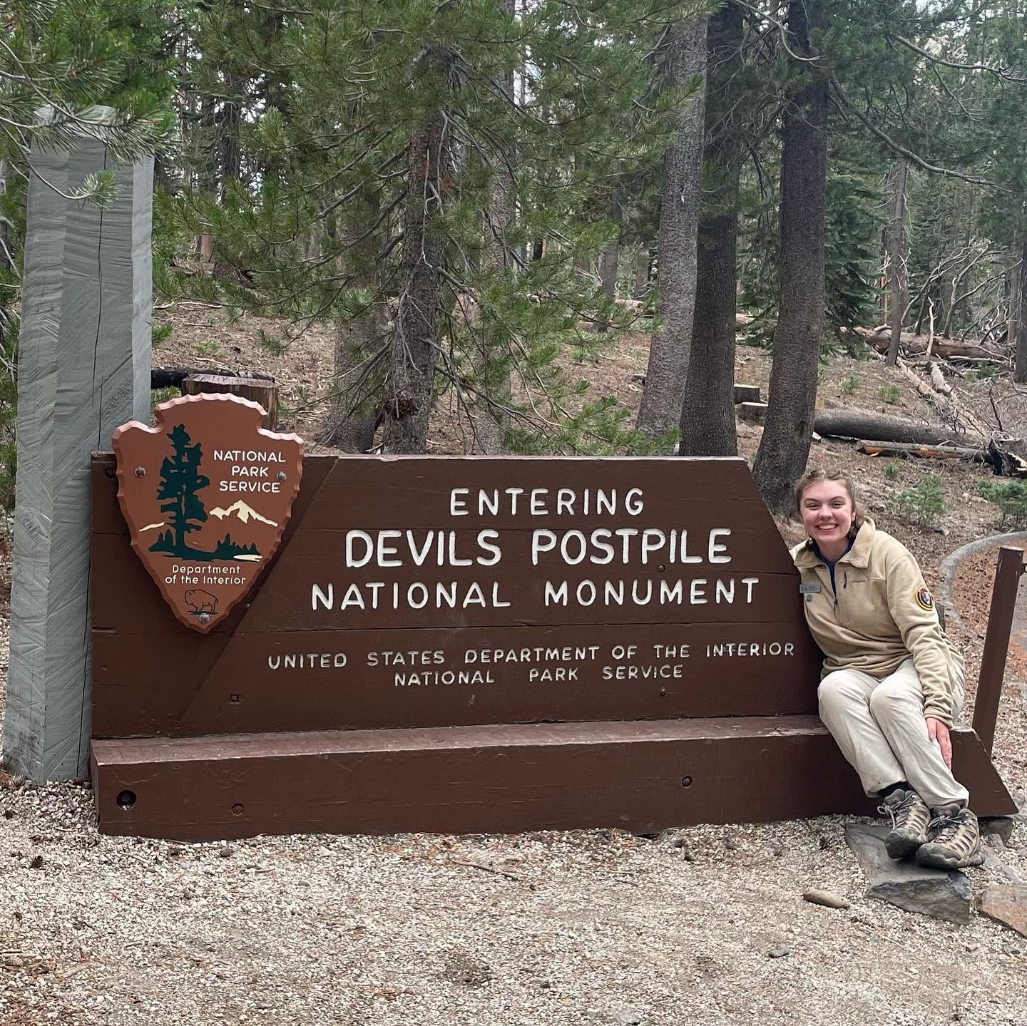
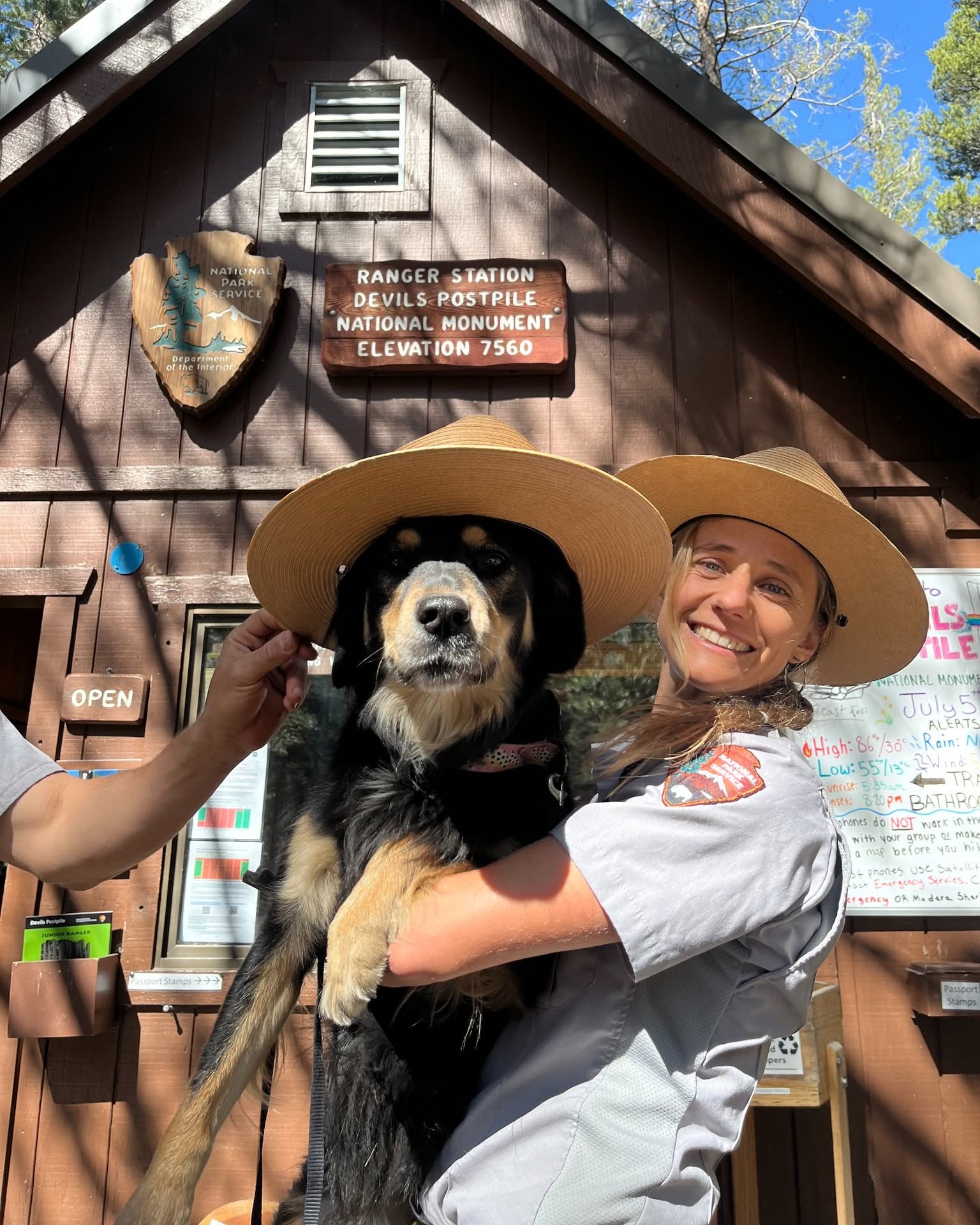
The journey into the monument typically begins at the Ranger Station, a rustic wooden structure sitting at roughly 7,500 feet in elevation. While many visitors remark that the surrounding valley feels remarkably like Yosemite, the connection is more than just atmospheric; it is historic.
When Yosemite National Park was established in 1890, this entire valley was included within its original boundaries. However, in 1905, gold was struck nearby. Timber, mining, grazing, and water interests successfully lobbied Congress to strip away roughly 500 square miles of protected land. In a single legislative stroke, the valley was handed over to the newly formed U.S. Forest Service, stripping the Postpile of its national park protection.
Even the ranger station itself carries a piece of Yosemite’s past. Built in 1941 to replace what had previously been just a ranger’s tent, the station was constructed using salvaged timber from the demolition of Yosemite’s iconic Sentinel Hotel.
The Plot to Blow Up the Postpile
From the ranger station, a short trail leads toward the main formation. Crossing a bridge over the Middle Fork of the San Joaquin River, hikers encounter a mini postpile formation, which serves as a small-scale preview of the main event.
It was near this river that the site’s most existential threat emerged. Shortly after the land lost its park status, developers proposed damming the Middle Fork of the San Joaquin River to generate hydroelectric power. The plan’s most shocking detail? Engineers proposed blasting the Devils Postpile formation directly into the river to use as rubble fill for the dam.
The proposal sparked outrage across California. A Forest Service engineer who reviewed the plans condemned the project as the “wanton destruction of scenery.” Environmental pioneers like John Muir joined the public backlash, arguing that the landscape was too unique to sacrifice. Petitions flooded the White House, forcing the government’s hand.
On July 6, 1911, President William Howard Taft signed an executive proclamation protecting the formation and nearby Rainbow Falls as a National Monument, saving the site from destruction.
How Geology Carved the Postpile
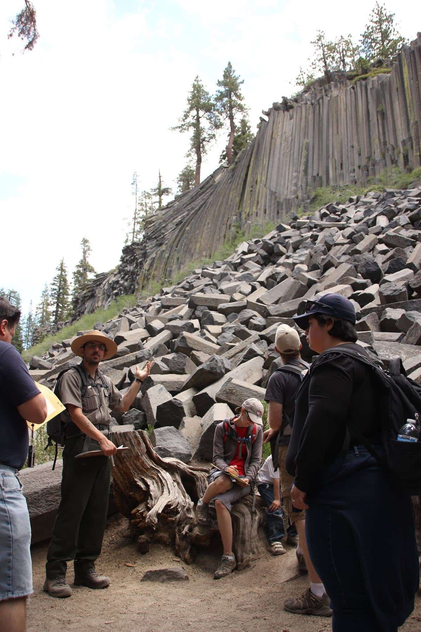
Standing at the base of the main Devils Postpile, the sheer scale of the cliff face comes into focus. Formed less than 100,000 years ago, the monument is one of the world’s finest examples of columnar basalt.
The process began when a volcanic vent near present-day Upper Soda Springs poured a massive flow of basaltic lava into the valley, creating a pool between 400 and 600 feet deep. Because the lava pool was so thick, the material at the bottom cooled exceptionally slowly and evenly. As it cooled, the rock contracted, cracking into vertical columns.
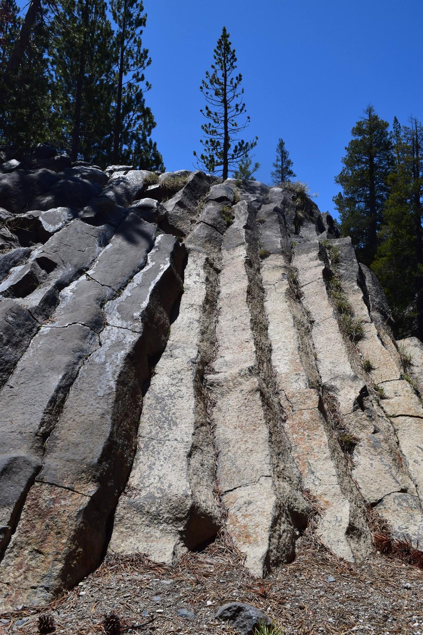
Nature chose the most efficient geometric pattern for relieving stress across a cooling surface: polygons, predominantly hexagons. While similar columnar basalt exists elsewhere in the world, Devils Postpile is world-famous for its geometric symmetry. A geological survey revealed that:
- 44.5% of the columns are six-sided.
- 37.5% are five-sided.
- The remaining columns feature 3, 4, or 7 sided geometries.
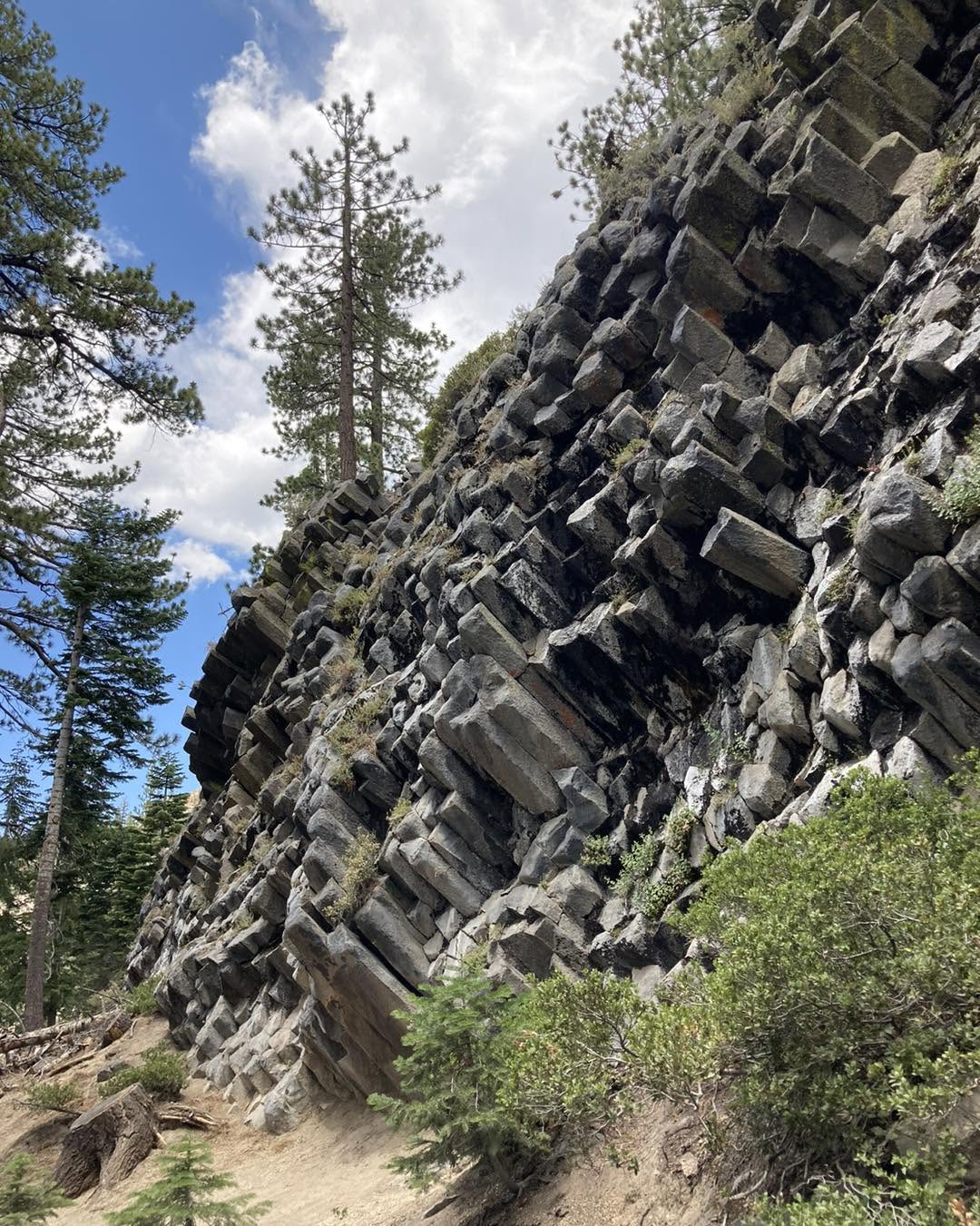
Thousands of years after the lava solidified, massive glaciers carved through the valley. The ice sheared away the top layers of rock, exposing the vertical columns beneath and leaving behind a pile of naturally collapsed rubble at the base.
The View from the Top
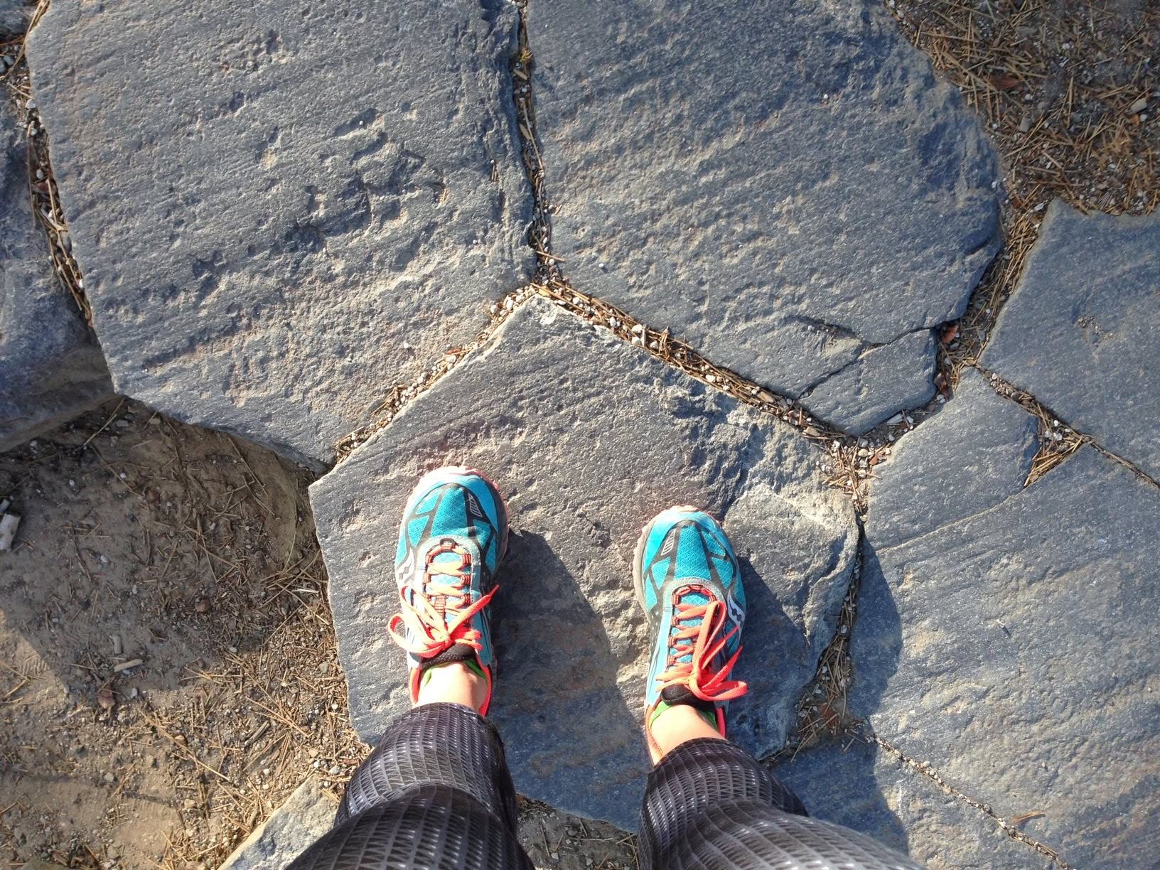
A short, steep climb up steps crafted from fallen basalt columns brings visitors to the top of the formation. Here, the glacier’s work is obvious: the tops of the vertical columns are ground smooth and polished like tile flooring, offering a top-down view of a massive, natural mosaic stretching deep into the hillside.
What’s in a Name? (And Why There’s No Apostrophe)
The origin of the name “Devils Postpile” comes with its own eccentricities.
When sheep herders, who were the first non-Indigenous people to frequent the valley, encountered the strange rock wall, they had no geological framework to explain it. In 19th-century folklore, dramatic or unusual geographic features were frequently attributed to Satan. The herders initially dubbed the site the “Devil’s Woodpile.” Over time, “woodpile” evolved into “postpile.”
However, official maps tell a different, grammar-defying story:
- 1911: President Taft’s original proclamation officially designated the site as Devil Postpile (singular, no apostrophe), likely following an error from a 1901 USGS map. The public ignored this and kept calling it “Devil’s Postpile.”
- 1930s: Jurisdiction shifted, and the official name was quietly changed to Devils Postpile (plural, still no apostrophe).
The lack of an apostrophe adheres to a long-standing rule by the U.S. Board on Geographic Names, which generally prohibits possessive apostrophes on official place names, which is the same policy responsible for Pikes Peak and Devils Tower.
Furthermore, the monument itself was shuffled between agencies for decades. Handed back and forth between the Forest Service and the National Park Service (including a temporary reassignment during World War II budget cuts), it wasn’t until 1952 that the National Park Service permanently took over management.
Beyond the Postpile: Rainbow Falls and Lower Falls
Continuing two miles downstream along the Middle Fork of the San Joaquin River, the landscape shifts. Hikers pass through a charred forest section, which serves as a lingering reminder of a 1992 lightning strike that burned over 8,000 acres, where stark, blackened trunks still stand as a testament to the slow pace of alpine forest recovery.
The trail ultimately leads to Rainbow Falls, where the river plunges 101 feet over a basalt cliff into a turquoise pool. True to its name, when the midday sun reaches its peak above the canyon, it hits the mist at just the right angle to project a brilliant, stationary rainbow across the base of the falls.

While most visitors turn back after Rainbow Falls, continuing another half-mile downstream brings hikers to Lower Falls.
Dropping just 15 feet, Lower Falls is less dramatic than its upstream neighbor, but it marks an extraordinary geological boundary: the literal edge of the ancient lava flow.
At Lower Falls, the dark, volcanic basalt abruptly stops, and the river begins carving its path through the classic, pale granite bedrock typical of the High Sierra. It is the precise spot where the monument’s fiery, volcanic story ends, and the traditional granite landscape resumes.
Visiting Devils Postpile Today
Today, Devils Postpile National Monument stands as a testament to early 20th-century conservation efforts. Surrounded by the Ansel Adams Wilderness, it remains one of California’s most pristine geologic wonders.
- Getting There: Due to narrow mountain roads and heavy traffic, visitors during the peak summer season are required to take a shuttle bus from Mammoth Mountain Ski Area.
- Crowd Tip: Shuttles drop off passengers every 30 minutes. To experience the main postpile with fewer people in your photos, linger near the ranger station or trailheads for 15 minutes after a shuttle arrives to let the initial crowd move ahead.
- Leave No Trace: Federal law strictly prohibits climbing on the main Postpile formation to prevent erosion and protect visitors from falling rock.

