

If current forecasts hold, winter 2026 / 2027 could become one of the strongest El Niño events ever recorded—joining a short list of “Super El Niño” years that have dramatically reshaped weather patterns around the globe.
There have only been a handful of truly exceptional El Niño events in modern history:
- 1877–1878
- 1982–1983
- 1997–1998
- 2015–2016 (the strongest in the satellite era)
- 2023–2024
- 2026–2027 (currently developing)
Each of these events featured sea surface temperature anomalies of +2.0°C (3.6°F) or greater across the tropical Pacific Ocean—enough to alter the jet stream and influence weather thousands of miles away.
For skiers and snowboarders, that’s particularly interesting because Super El Niño winters often produce some very recognizable snowfall patterns across North America.
What Is a Super El Niño?
An El Niño occurs when unusually warm water develops across the equatorial Pacific Ocean. That warm water releases enormous amounts of heat into the atmosphere, changing the position and strength of the jet stream.
A Super El Niño is simply an exceptionally powerful version of the phenomenon.
While every event is different, the strongest El Niños tend to have a much larger impact on winter weather than average years.
What History Tells Us About Snowfall
Looking back at previous Super El Niño winters reveals several consistent themes.
California Often Gets Buried
This is the pattern most skiers know.
Many of California’s legendary winters have occurred during strong El Niño years.
Resorts such as:
- Mammoth Mountain
- Palisades Tahoe
- Sugar Bowl
- Kirkwood
have historically seen frequent Pacific storms delivering deep snowpacks.
While no two winters are identical, El Niño generally favors an active storm track into California.
The Southern Rockies Often Thrive
Colorado’s southern mountains and New Mexico frequently benefit as storms dive farther south than normal.
Resorts including:
- Wolf Creek
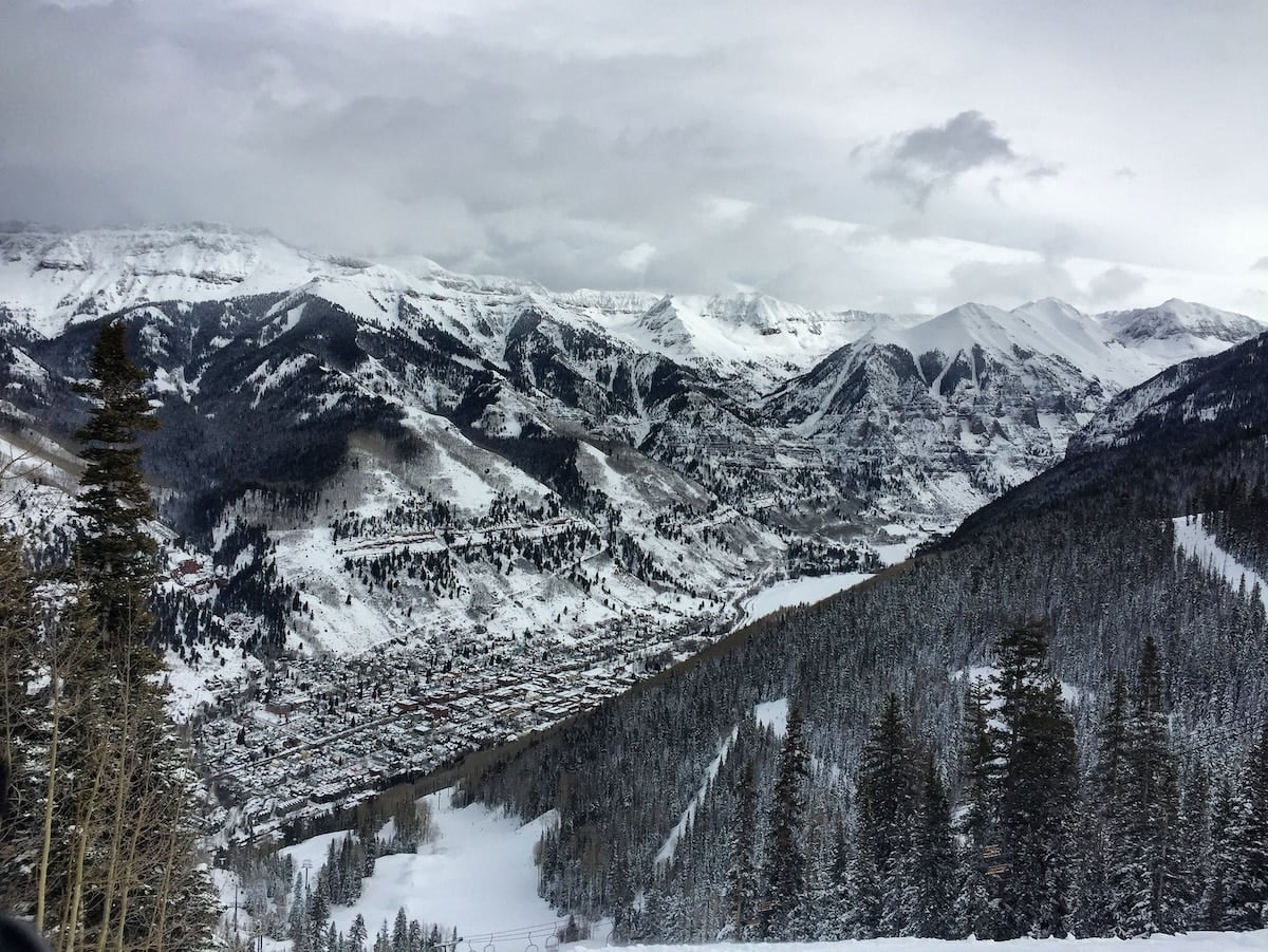
- Telluride
- Purgatory
- Taos Ski Valley
can experience above-average snowfall during strong El Niño winters.
Wolf Creek, in particular, has developed a reputation for excelling during El Niño years thanks to its location directly in the path of moisture-rich Pacific storms.
The Pacific Northwest Can Be More Complicated
Washington and northern Oregon often experience warmer-than-average conditions during strong El Niño events.
That doesn’t necessarily mean less precipitation—but it can mean:
- Higher snow levels
- More rain at lower elevations
- Better conditions at higher-elevation resorts
Mount Baker, Stevens Pass, Crystal Mountain, and Whistler Blackcomb can still have excellent winters, but snowfall is often less consistently above average than farther south.
The Northeast Is Often A Wild Card
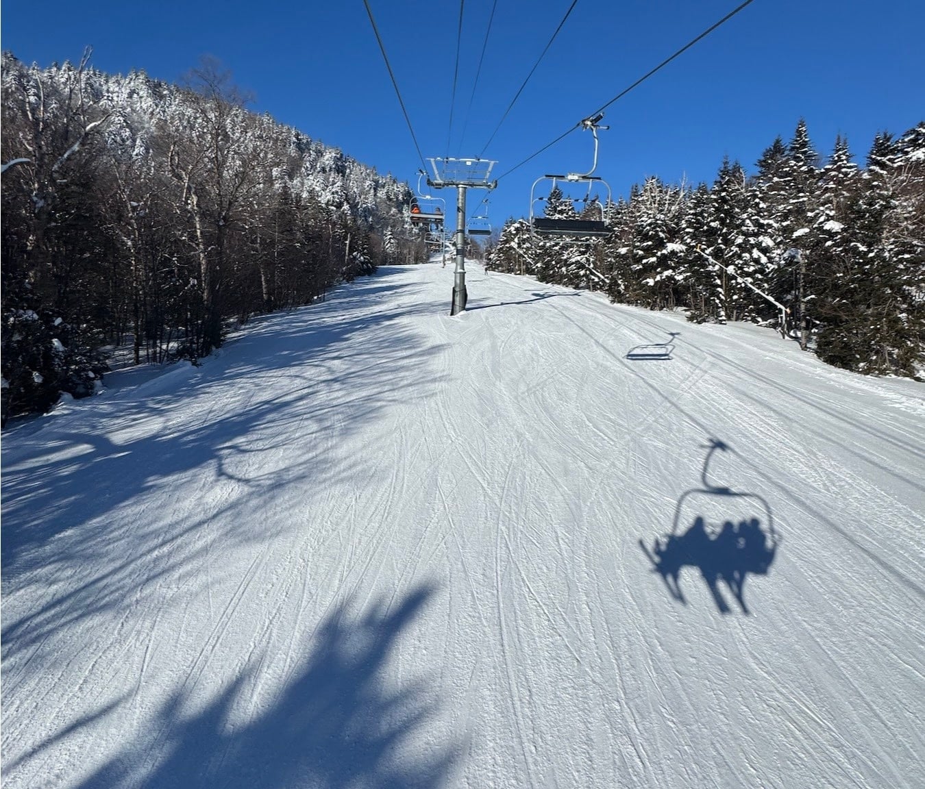
El Niño winters frequently bring more coastal storms to the East Coast.
The challenge?
Temperature.
If cold air is in place, these systems can produce blockbuster snowstorms.
If not, they arrive as rain.
Interior areas of Vermont, New Hampshire, Maine, and upstate New York often fare much better than coastal locations.
Every Super El Niño Is Different
It’s important to remember that El Niño does not determine the weather by itself.
Other climate patterns—including:
- The Arctic Oscillation (AO)
- North Atlantic Oscillation (NAO)
- Pacific Decadal Oscillation (PDO)
- Madden-Julian Oscillation (MJO)
can significantly alter how any given winter unfolds.
That’s why one El Niño winter may produce incredible snowfall in one region while another sees below-average totals.
Think of El Niño as loading the dice—not deciding the final roll.
Resorts That Could Benefit Most This Winter
If the developing Super El Niño follows historical trends, these destinations could be well-positioned:
- Mammoth Mountain, California
- Palisades Tahoe, California
- Kirkwood, California
- Sugar Bowl, California
- Wolf Creek, Colorado
- Telluride, Colorado
- Taos Ski Valley, New Mexico
These resorts have repeatedly performed well during previous strong El Niño winters.
Should Skiers Get Excited?
Absolutely—but cautiously.
If the current event continues strengthening into one of the strongest El Niños on record, the odds increase for an active southern storm track capable of producing exceptional snowfall in parts of the western United States.
That doesn’t guarantee record-breaking snow everywhere, and plenty can change between now and winter. But history suggests that when the Pacific Ocean reaches this level of warmth, North America’s snow maps often look very different than they do during La Niña years.
We’ll be watching closely as the season approaches.