
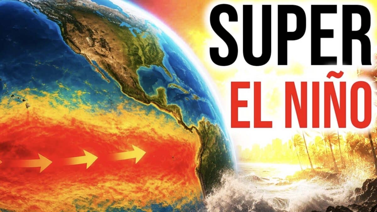
A powerful El Niño event is rapidly strengthening in the Pacific Ocean, and some forecast models suggest it could become the strongest ever recorded. According to Direct Weather, the development carries serious implications for weather patterns across the United States and around the globe through the coming winter.
Sea surface temperatures in the Niño 3.4 index region are already running nearly one degree Celsius above average, with some areas near South America exceeding 1.6 degrees above normal. Subsurface ocean temperatures in key El Niño zones are running four to seven degrees Celsius above normal, a striking signal that forecasters say makes a continued rapid intensification realistic.
Forecast model guidance has escalated dramatically in recent months. As of April 2026, the multi-model average is now tracking above the two-degree Celsius threshold that defines “super El Niño” status, with several individual models projecting readings near three or even four degrees above normal by fall. Breaking the all-time El Niño record would require sustained anomalies above roughly 2.6 degrees Celsius.
The pattern bears a resemblance to the 2015-2016 super El Niño, which produced one of the warmest winters on record across the eastern United States.
What to Expect This Winter
A strong El Niño typically brings a wetter pattern to California, Nevada, Arizona, and New Mexico, while the Pacific Northwest and north-central states trend drier and warmer than normal. The Deep South and Southeast often see increased moisture as well.
The East Coast outlook is less certain. Warmer Pacific air streaming onshore tends to suppress cold outbreaks from Canada, though nor’easters and southern storm systems can still deliver significant snowfall to the Mid-Atlantic and Northeast if enough cold air is present. A repeat of the cold winters seen over the past two years is considered unlikely.
Hurricane Season Concerns
El Niño events have a well-documented suppressing effect on Atlantic hurricane activity. Historical super El Niño years, including 1983 and 1998, produced well below-average hurricane seasons. Increased wind shear over the Atlantic tropics during El Niño disrupts storm development in the main development region between Africa and the Caribbean.