
A pair of German tourists needed help from search and rescue crews in Wyoming’s Big Horn County last Saturday after following a Google Maps route that sent them down a road far beyond their vehicle’s capability.
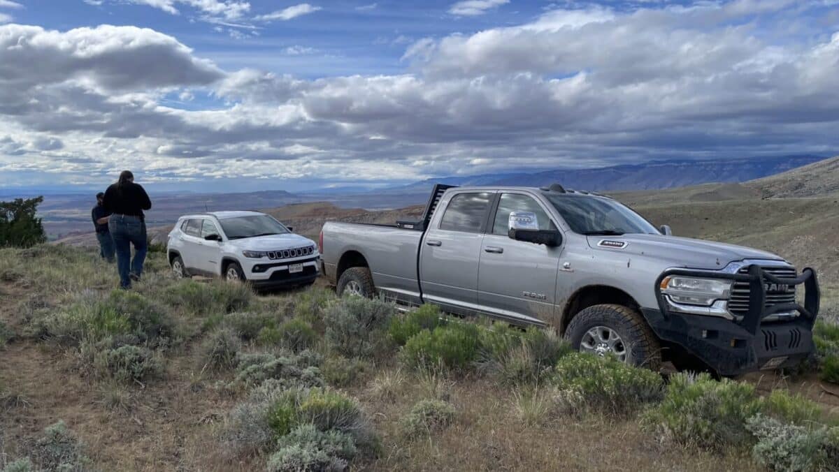
The two visitors were traveling in a Jeep Compass when GPS navigation directed them toward what appeared to be a shortcut. The road turned out to be a rough, remote two-track trail unsuitable for their vehicle. After blowing two tires, the tourists became stranded near South Trapper Rim and had no option but to call for help.
Big Horn County Search and Rescue responded alongside Big Horse Point S Tire and Auto in what the team logged as mission number 26 for the year. Both tourists were unharmed.
The incident prompted the rescue team to issue a pointed warning to visitors and travelers heading into Wyoming’s backcountry. GPS navigation apps, including Google Maps, do not always account for road conditions, seasonal closures, or the technical demands of remote two-track routes. What appears passable on a phone screen can be something else entirely on the ground.
Big Horn County SAR urged anyone planning to travel in rural or backcountry areas to do additional research before departing and to avoid relying solely on navigation apps when determining whether a route is appropriate for their vehicle.
Wyoming’s remote roads and trails attract visitors from around the world, and incidents like this one are a recurring challenge for rural search and rescue teams. Crews across the Mountain West have increasingly flagged GPS-related rescues as a growing problem, particularly during peak tourism season.