

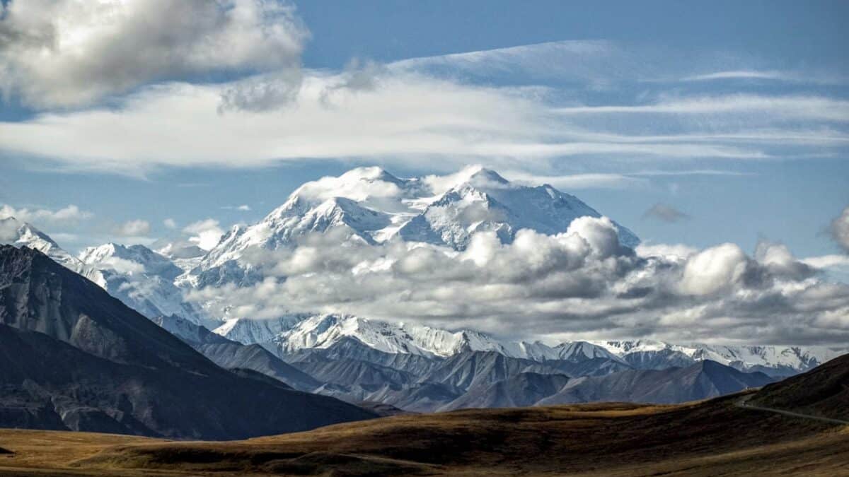
A major winter storm is expected to bring several feet of snow to parts of Alaska this week, with the National Weather Service warning of dangerous travel conditions across the Eastern Alaska Range and surrounding regions.
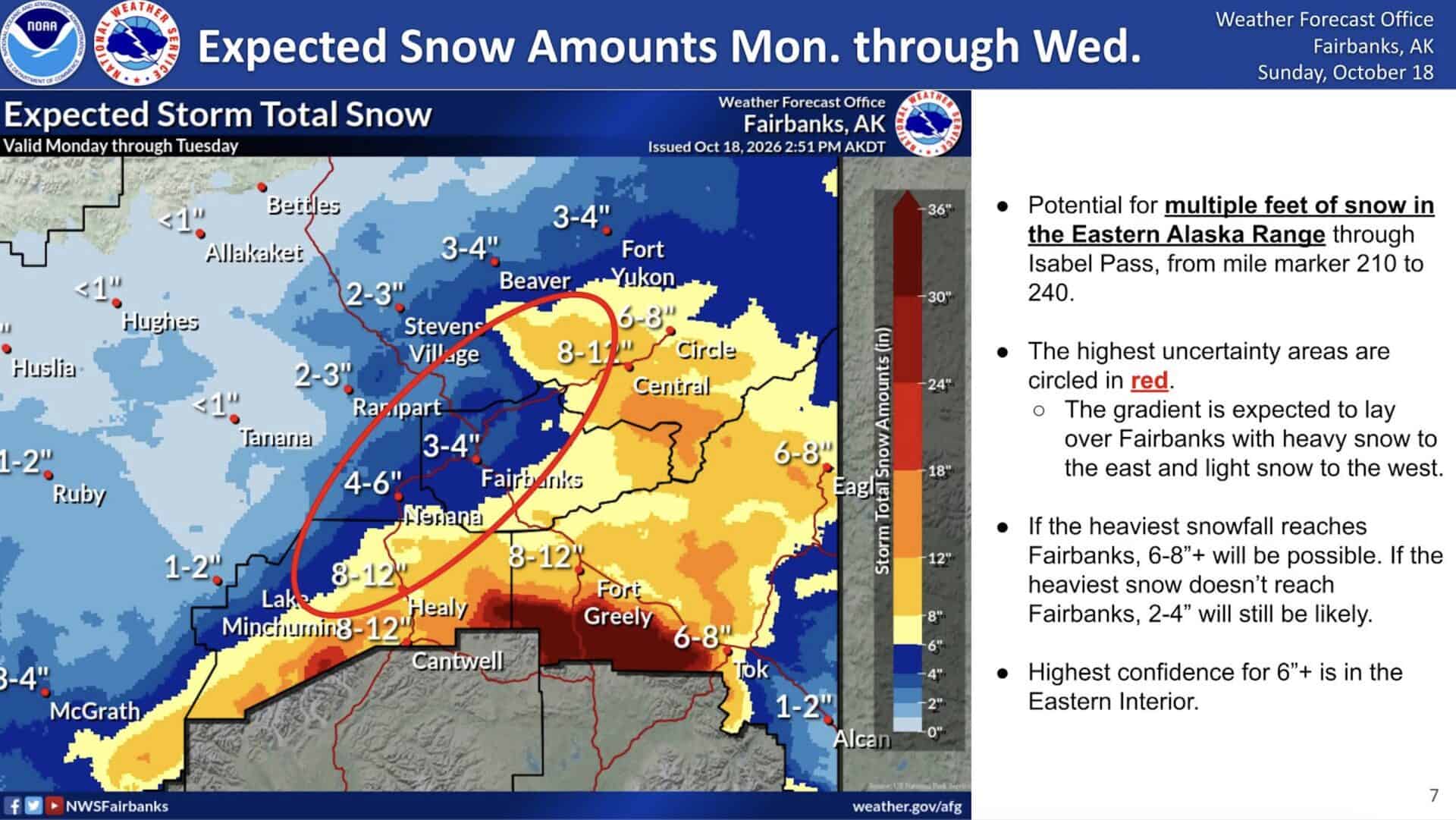
The National Weather Service in Fairbanks issued updated winter storm warnings on Monday, October 19th, forecasting widespread snowfall, strong winds, and periods of severely reduced visibility through Wednesday and early Thursday. The heaviest snow is expected in the Eastern Alaska Range, where some higher elevations could receive more than three feet.
Eastern Alaska Range Could See 36 Inches of Snow
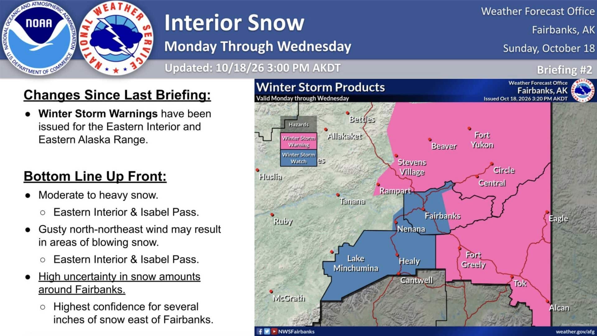
The Eastern Alaska Range is under a Winter Storm Warning through 4 a.m. Alaska Daylight Time on Thursday. Forecasters expect 24 to 36 inches of snow above 2,500 feet, with higher totals possible above pass level. Lower elevations could receive 12 to 24 inches.
Snowfall rates could exceed one inch per hour at times, while wind gusts could reach 40 mph. Strong southerly winds north of Trims Camp on Monday will give way to northerly winds as heavy snow develops through Tuesday and Wednesday.
The warning covers areas around Donnelly Dome, Black Rapids, Trims Camp, and portions of the Richardson Highway. Travel could become very difficult or impossible, particularly at higher elevations and mountain passes.
Additional Snow Expected Across Interior Alaska
Other parts of Interior Alaska are also preparing for significant snowfall.
A Winter Storm Warning covering Delta Junction, Fortymile Country, and the Upper Tanana Valley begins at 10 p.m. Monday and continues until 4 p.m. Wednesday. Most areas could receive 5 to 10 inches, with locally higher totals of 10 to 15 inches possible between Tanacross and Dot Lake. Areas between Northway and the Canadian border along the Alaska Highway could see 2 to 5 inches, with rain potentially mixing with snow.
A separate warning takes effect Tuesday morning across the Upper Chena River Valley, Yukon Flats, White Mountains, and Eagle Summit. Snowfall totals of 5 to 10 inches are expected, although some locations near Beaver and Livengood could receive just 3 to 5 inches or less.
Winds could gust to 35 mph in exposed areas, creating blowing snow and visibility below one-half mile at times.
Dangerous Travel Conditions Expected
The warnings could significantly affect travel along the Richardson, Alaska, Taylor, Steese, and Elliott highways, as well as other routes across Interior Alaska. Drivers are urged to check Alaska 511 for road conditions before traveling and carry emergency supplies, including food, water, warm clothing, and a flashlight.