

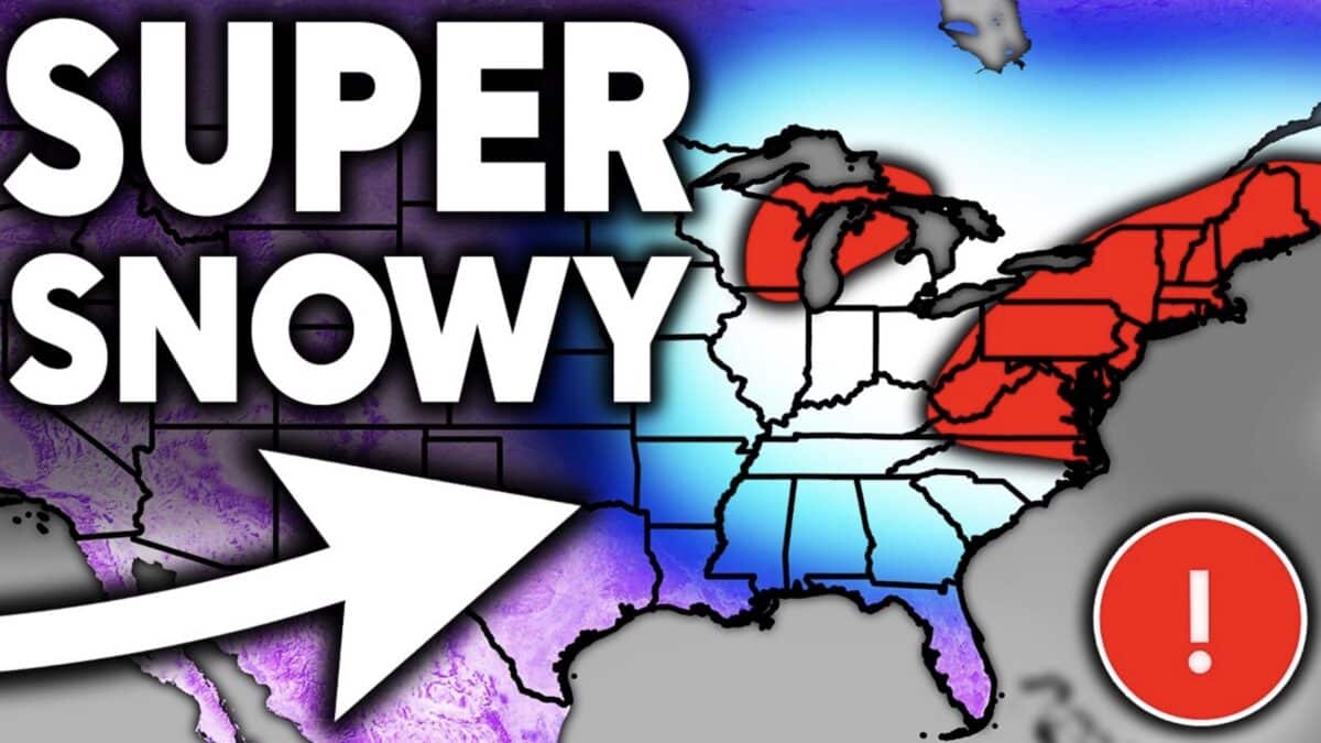
A new long-range winter forecast from Direct Weather looks at the potential for an active winter across much of the United States, with seasonal models increasingly pointing toward colder conditions later in the season and above-average precipitation across several major regions.
Direct Weather looked at five seasonal models covering the remainder of October, November, and the winter months through March. While the temperature predictions do vary, the models show some notable agreement on storm activity across the Southwest, southern United States, and East Coast.
West Coast and Pacific Northwest
The West Coast presents one of the biggest uncertainties in the forecast. Several models indicate above-average temperatures across California, Oregon, and Washington, particularly during the early and middle portions of winter. This could limit natural snowfall at some elevations, although individual storms could still deliver significant snow to mountain resorts.
Precipitation forecasts are less consistent in the Pacific Northwest. Some models suggest wetter-than-average conditions across Washington and Oregon, while others indicate a drier winter, particularly during December and January.
The Southwest has a more consistent signal for above-average precipitation. Multiple models show an active storm track affecting the region from fall through winter, potentially bringing substantial snowfall to higher elevations across Arizona, New Mexico, and surrounding areas.
Rockies and Central United States
The temperature outlook across the central United States becomes more encouraging as winter progresses. Several models show colder-than-average conditions spreading into the Plains, Midwest, and portions of the central Rockies during January, February, and March.
The Canadian seasonal model particularly favors a colder pattern across the central and eastern United States, while the American CFS model suggests that colder air could expand farther north during the second half of winter.
Precipitation forecasts are more mixed across the northern Plains and parts of the Midwest. Some models indicate drier-than-average conditions, while others show improving precipitation prospects toward March.
For ski resorts across the Rockies, the combination of colder temperatures and active storm systems could create opportunities for productive snowfall periods, although seasonal models cannot determine exact snowfall totals at individual mountains.
Southern United States and East Coast
The strongest agreement among the models centers on an active southern storm track extending toward the East Coast. Forecasts repeatedly show above-average precipitation from the Southwest and South Central states across the Gulf Coast and into the Southeast and Northeast.
Direct Weather notes that this pattern could support repeated nor’easters, particularly as winter progresses. These storms can bring substantial snowfall to parts of the Northeast when sufficiently cold air is in place.
The Great Lakes, Ohio Valley, and Mid-Atlantic also appear increasingly likely to experience periods of colder weather in some model scenarios, potentially improving snowstorm opportunities later in the season.
February and March Could Bring More Winter Weather
One of the key takeaways from Direct Weather’s analysis is the possibility of a backloaded winter. Several models suggest colder conditions becoming more widespread during February and March, rather than concentrating the season’s strongest winter weather early on.
Of course the forecast could very easily change, and seasonal models cannot reliably predict individual storms months in advance. However the recurring signals for an active southern storm track and increasingly favorable temperatures in parts of the central and eastern United States provide reasons for winter weather enthusiasts to watch future updates closely.
