

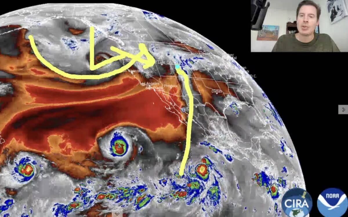
Meteorologist Chris Tomer kicked off meteorological fall on September 1 with his first mountain weather update of the season, outlining an unusually active pattern that could bring significant moisture to the western United States.
Tomer said a powerful El Niño pattern and exceptionally warm water in the equatorial Pacific are helping fuel a persistent stream of tropical moisture into the West.
Wet Weather Continues Across The West
According to his forecast, September could remain unusually wet across much of the West, with moisture repeatedly moving into Utah, Colorado, Arizona, Wyoming, Idaho, and Montana.
Recent monsoon moisture has already contributed to significant rainfall and flash flooding in southern Utah and northern Arizona. Tomer said additional tropical moisture could move into Southern California, the Desert Southwest, Utah, New Mexico, and Colorado during the coming days.
Colorado’s mountain regions could receive substantial rainfall over the next 10 days, while Utah’s Wasatch and High Uintas could also see meaningful precipitation. That could impact areas near popular resorts including Park City Mountain, Deer Valley, Snowbird, Alta, Vail, Breckenridge, and Aspen Snowmass.
What It Could Mean For Ski Season
While the current weather is focused on rain rather than snow, Tomer said the broader Pacific pattern remains important as ski season approaches. He expects El Niño to strengthen into late fall before potentially peaking during November or December. His latest outlook continues to favor an active and wetter than normal winter across parts of the Sierra Nevada and the southern Rockies.
Arizona, southern Utah, southern Colorado, and New Mexico could be among the regions most favored for increased moisture. September should remain wet across much of the West before the moisture pattern potentially shifts deeper into the Intermountain West during October.