

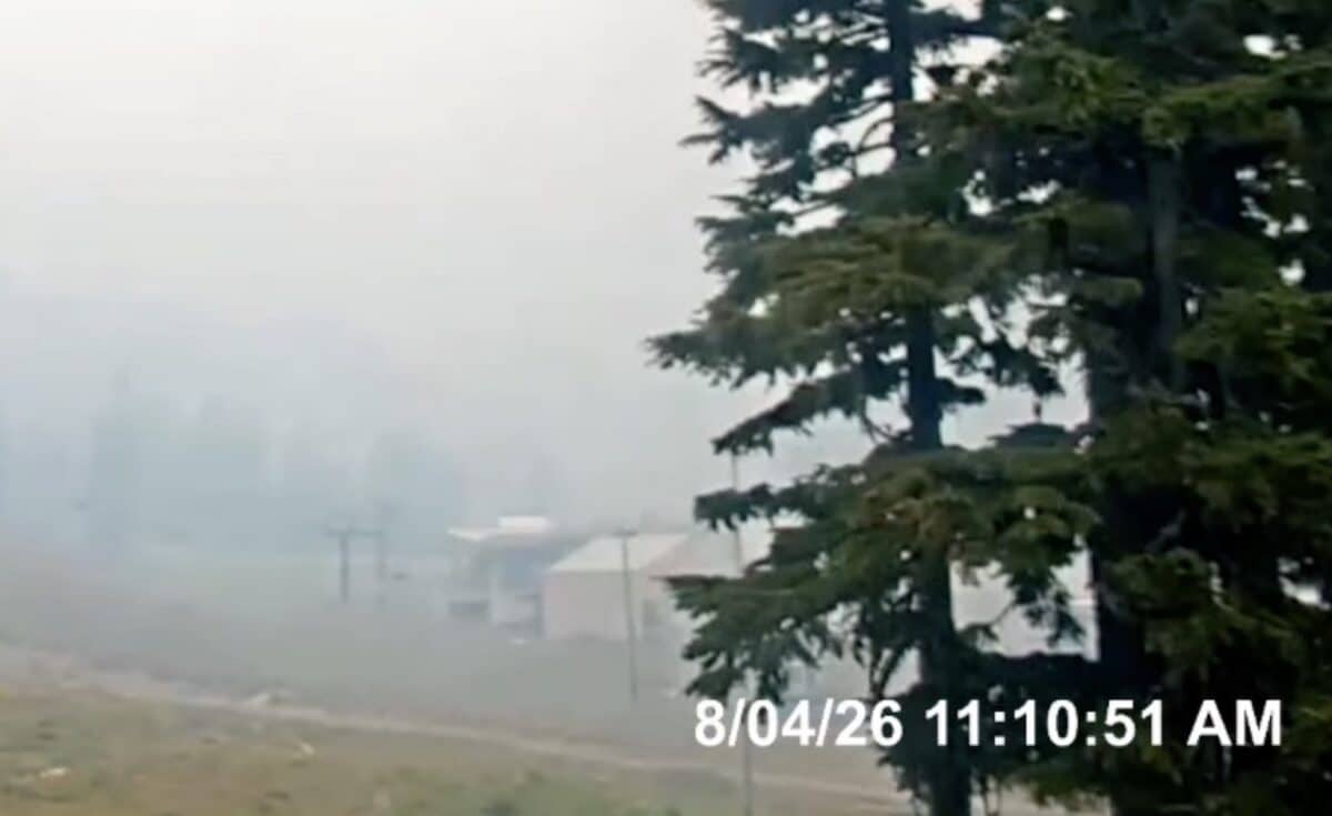
Mt. Hood Meadows just confirmed they are under a Level 3 evacuation order after as the Grasshopper Fire has shifted west putting the ski resort in its path. Resort officials ask people to stay away from the property to give firefighters room to operate:
“Whelp, we hoped we wouldn’t have to post this, but here we are. As of this morning, Meadows is under a Level 3 (Go Now) evacuation. We are in communication with the forest service and are watching the weather diligently. We ask that everyone stay away from the area so fire personnel can do their jobs. Stay safe everyone”
Grasshopper Fire Smoke has burned nearly 35,o00 acres and is only 19% contained. Smoke is clearly in the air if you check out the Oregon ski resort’s various webcams. A Level 1 (Be Ready) evacuation alert has been issued for the Mount Hood corridor, from Rhododendron east through Government Camp and surrounding areas of the Mount Hood National Forest. The area extends north to the Hood River County line and east to the Wasco County line.
The Grasshopper Fire was first reported on July 23, 2026, follow multiple lightning storms over the forest in the preceding two weeks. It started north of Forest Road 4812 and west of Rocky Butte. It quickly spread east and north following winds and hot, dry conditions.
24 Hour Outlook:
A local Red Flag Warning is in effect for the incident Tuesday, with critical fire weather expected as conditions turn much drier and warmer than previous days, easterly winds strengthen, and very unstable conditions develop in the afternoon. These hot, dry winds could test containment lines on the western flank of the fire and push fire higher into the wilderness, closer to Lookout Mountain, Gumjuwac Pass, and Badger Lake.
