

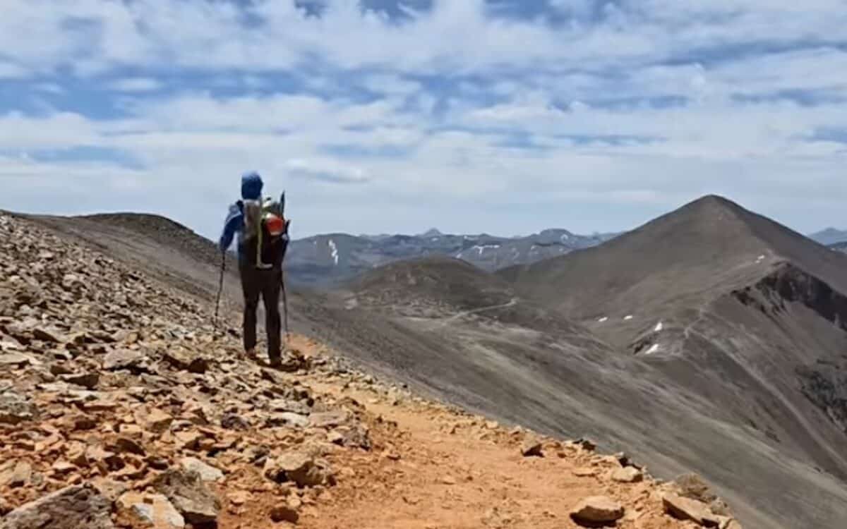
A new long distance hiking project is inviting experienced backpackers to see Colorado in an entirely different way. The Great Colorado Route is a proposed 1,700 mile trail that links many of the state’s most iconic mountain landscapes with lesser known wilderness areas into one continuous journey.
Unlike traditional long trails that prioritize efficiency, the Great Colorado Route was created with scenic beauty and adventure as the focus. The route combines existing trails with off trail travel and high routes to create what its creator describes as a deeper exploration of Colorado’s public lands.
A Route Built Around Colorado’s Best Landscapes
The proposed route stretches roughly 1,700 miles and includes an astonishing 381,000 feet of elevation gain, roughly the equivalent of climbing Mount Everest 13 times. The trail is divided into 32 sections, allowing hikers to complete it either as one continuous thru hike or as a long term section hiking project.
The route begins and ends at Black Canyon of the Gunnison National Park and follows a counterclockwise direction, but hikers are free to travel in either direction while adjusting plans around snowpack and seasonal weather.
Rather than simply connecting destinations with the fastest path, the Great Colorado Route intentionally takes more remote lines to maximize scenery. It passes through famous mountain regions while also introducing hikers to overlooked wilderness areas that receive far less foot traffic.
Designed For Skilled And Self Sufficient Hikers
The Great Colorado Route is not intended to be an easy backpacking trail. Sections include off trail navigation, scrambling, route finding, and significant mountain exposure. No technical climbing equipment should be necessary, although some hikers may choose to wear a helmet in more rugged terrain.
To make the route more flexible, the team behind the route have also included lower difficulty alternates, weather bypasses, and optional side trips. A dedicated low route option allows hikers to remain primarily on established trails while avoiding much of the scrambling found along the main route. Even with those alternatives though, organizers stress that the route is still a proposal and has not yet been fully verified on the ground.
Creator Takes On 2026 Thru Hike
The project was created by Colorado native Donovan “Iceman” Rice, an experienced long distance hiker who has completed Colorado’s 14ers along with the Continental Divide Trail and several other major thru hikes. Rice is currently working his way through the trail, hoping to use his experience, along with future feedback from other hikers, to further refine the route and improve descriptions for terrain, exposure, water availability and navigation.
The project has required some recent updates due to private property concerns in a handful of locations. Temporary guidance is currently available to fix those issues, though they’ll primarily be addressed after Rice completes his thru hike.
Navigation And Planning Remain Essential
Hikers should not assume the current GPX track is fully accurate. Trail conditions change, maps contain errors, and many portions of the route still require additional scouting. While the GPX files are available as free downloads, it’s important to note that they are only a planning reference. Anyone attempting the route is expected to have strong navigation skills, conduct independent research, monitor weather conditions, and make safe decisions in Colorado’s backcountry.