

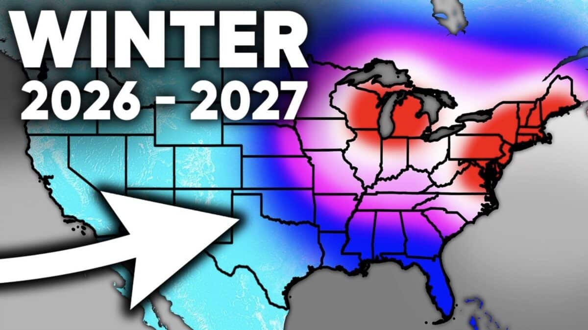
The upcoming Winter 2026 through 2027 could be unlike anything seen in decades if current climate trends continue. According to a new long range outlook from Direct Weather, an exceptionally powerful El Niño is developing in the Pacific Ocean and could become one of the strongest ever recorded.
That possibility alone makes this winter worth watching. However strong El Niño events do not always produce the same weather patterns, meaning the coming season could take several very different paths depending on how other atmospheric conditions evolve.
Lessons From Recent Winters
The last two winters were influenced by La Niña, which typically favors a different jet stream pattern than El Niño. Those seasons brought repeated outbreaks of cold air to parts of the United States, though snowfall and precipitation varied from region to region. The transition to a potentially historic El Niño could dramatically shift storm tracks across North America. Even so, meteorologists caution that El Niño is only one factor that determines how a winter ultimately unfolds.
Past El Niño Winters Produced Very Different Results
In the analysis, Direct Weather compared two of the strongest El Niño winters in recent history to show why forecasting this season remains difficult. The winter of 2015 through 2016 was one of the warmest on record across much of the northern United States as mild Pacific air dominated the pattern. Despite those warm conditions, the Mid Atlantic still experienced a historic blizzard that buried parts of Virginia, Maryland, Pennsylvania, West Virginia, and Washington DC under several feet of snow.
The winter of 2009 through 2010 looked quite different though. Much of the central and eastern United States experienced colder than normal temperatures along with a series of major snowstorms. Many Mid Atlantic communities recorded one of their snowiest winters on record.
More Than El Niño Will Decide The Outcome
Atmospheric patterns such as the Pacific North American pattern and the Arctic Oscillation will also help determine where cold air develops and how storms track across the continent.
According to Direct Weather, if those climate signals align favorably, colder than average conditions could still develop across portions of the Plains, Midwest, Southeast, and Mid Atlantic despite the presence of a powerful El Niño.
While it is far too early to know exactly how the season will unfold, the combination of a potentially record setting El Niño and several other important climate signals has forecasters paying close attention. Direct Weather plans to continue refining its outlook as additional data becomes available heading into the fall.
