
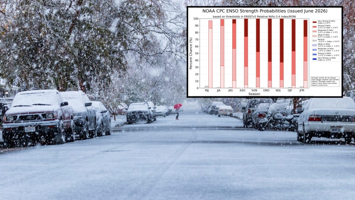
NOAA‘s Climate Prediction Center confirmed this week that El Niño conditions have developed in the equatorial Pacific Ocean and are expected to strengthen heading into the winter of 2026-27, a shift that could shape snowfall, storm tracks, and temperatures across North America in the coming months.
According to the agency’s latest ENSO Diagnostic Discussion, sea surface temperatures across the central and eastern equatorial Pacific have climbed above average over the past month. The Niño-3.4 index, a key benchmark used to track El Niño strength, came in at +0.7°C, while the eastern Pacific (Niño-1+2 region) registered an even higher anomaly of +2.1°C.
Forecasters say the atmosphere is now responding in step with the ocean. Wind patterns and cloud cover across the tropical Pacific are behaving in ways consistent with a developing El Niño, and CPC says confidence in the pattern continuing is high.
Perhaps most notable for winter weather watchers is the forecast strength. CPC’s models put the odds at 63 percent that this El Niño could become a “very strong” event by the November through January window, which would place it among the most powerful El Niño episodes recorded since 1950.
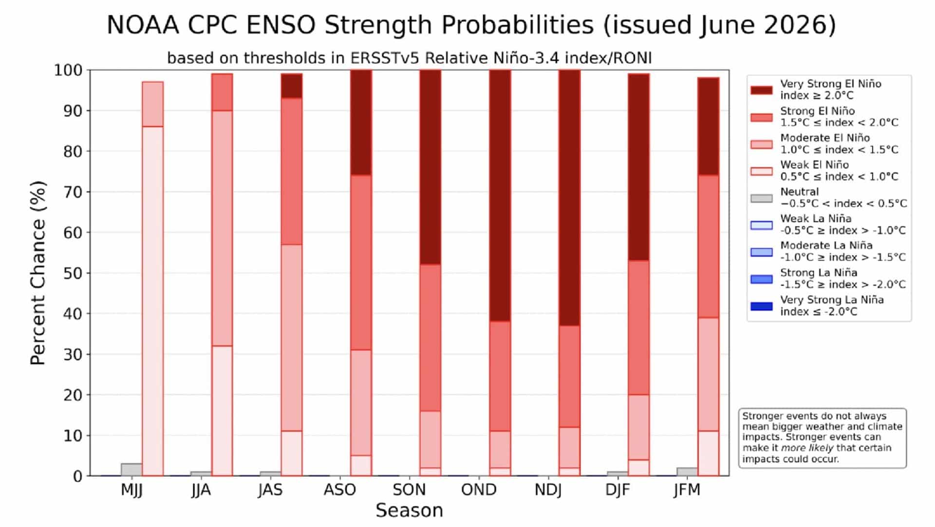
For skiers and mountain communities, El Niño winters often mean a wetter Pacific Northwest and Northern Rockies, while the Southwest and southern Rockies tend to see above average snowfall as the storm track shifts south. However, CPC cautions that even powerful El Niño events don’t guarantee the same outcome everywhere. Stronger events simply increase the odds of these typical patterns playing out.
The agency will issue its next update on July 9th, continuing to track how the pattern evolves through the summer and into the critical early winter months when outlooks for the upcoming ski season begin to take shape.