
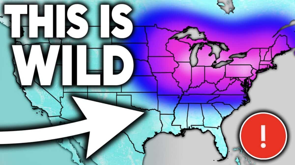
Direct Weather‘s latest forecast breakdown paints a pretty interesting weather picture for the weeks ahead, with below-normal temperatures expected to dominate the eastern United States through at least the first half of June.
According to Direct Weather, the cold pattern stems from an unusually pure backdoor arctic flow pushing down the East Coast from eastern Canada, which meteorologists note is rare for this time of year. The colder-than-normal conditions are expected to persist through at least June 10th to 12th, with some brief warm-ups mixed in during the first week of the month.
On the storm front, the Plains and central United States face the most active stretch. Texas, Oklahoma, and Kansas are all flagged for potential severe weather Wednesday the 4th and Thursday the 5th. By the weekend, thunderstorm activity is expected to spread into the Ohio Valley, Mid-Atlantic, and Northeast. Precipitation totals are forecast to run heavy across the southeastern and central portions of the country over the next two weeks.
Perhaps the most alarming takeaway from Direct Weather’s latest update is the El Niño outlook. New data from the Climate Prediction Center’s CFSV2 model shows every single ensemble member projecting this developing El Niño to surpass the strongest ever recorded by October or November of this year.
The previous record sat near 2.6 to 2.8 degrees Celsius above average. The current model mean is tracking near 3.7 to 3.8 degrees above average, well beyond anything observed before. The downstream effects on hurricane season, summer heat, fall, and winter patterns remain difficult to predict precisely because nothing like this has ever been recorded.