
According to certified meteorologist Jonathan Keg of JustWeather, a major El Niño is on the verge of developing this summer, and its implications could extend well into the 2026-2027 winter season.
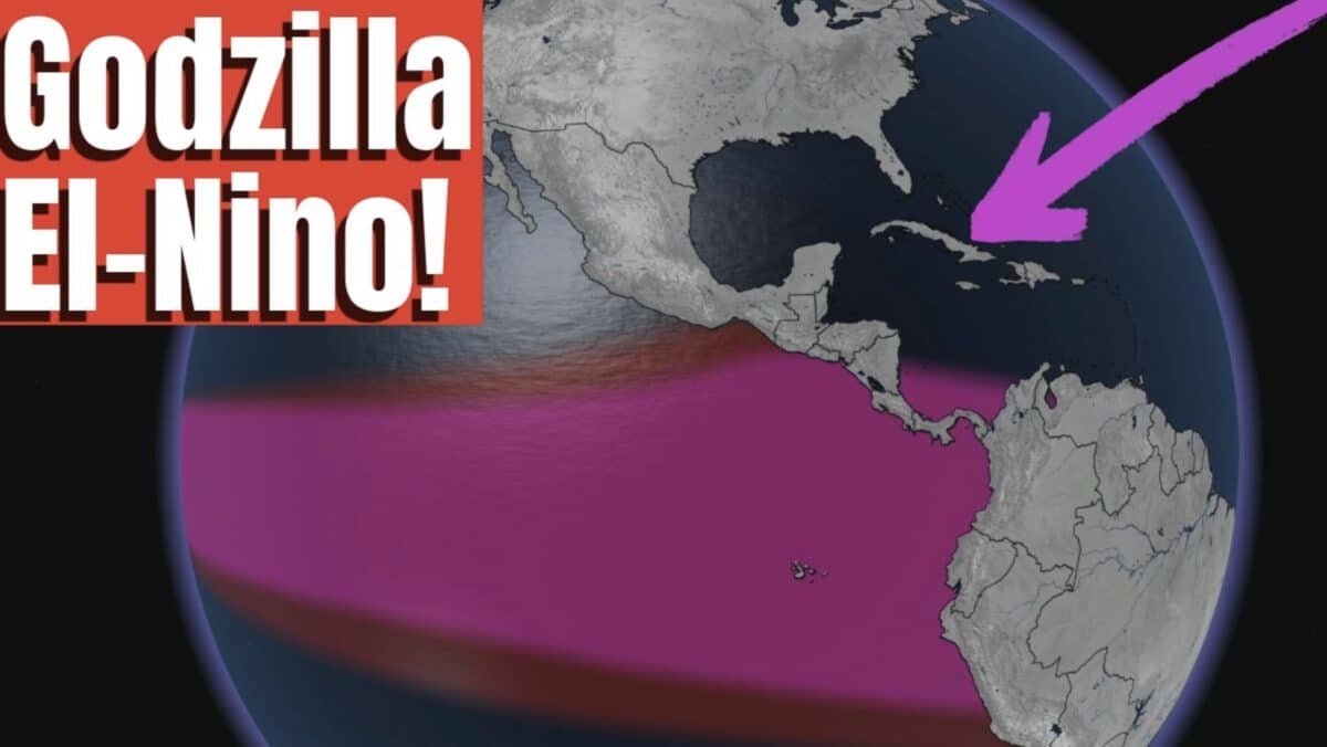
As of mid-March, a La Nina is still technically in place, but an El Niño Watch has been issued by NOAA’s Climate Prediction Center. Subsurface ocean temperatures in the equatorial Pacific are running significantly above normal, and that warmth is rapidly working its way to the surface. The forecast currently puts the probability of El Niño at 60% by June, July, and August, climbing to 80% by October, November, and December.
The immediate concern is hurricane season. El Niño years typically produce elevated wind shear and increased atmospheric stability across the Atlantic basin, two conditions that suppress tropical storm development. Historical analogs from 1992 and 2015 showed notably quiet Atlantic seasons during strong El Niño events, though Keg cautions that it only takes one storm to cause catastrophic damage.
On the winter side, the outlook is potentially significant for skiers and snow enthusiasts. An El Niño pattern typically drives an active southern branch of the jet stream, bringing drought-busting moisture to California and the Sierra Nevada, heavy precipitation across the southern tier of the country, and more frequent and intense nor’easters along the I-95 corridor in the Northeast.
The European ensemble model members are trending well above the 2-degree Celsius anomaly threshold that defines a strong event. The three strongest El Niños on record peaked at 2.75 degrees Celsius in 2015-16, 2.4 degrees in 1997-98, and 2.23 degrees in 1982-83. Current model trends suggest this developing event could rank among the top five on record, possibly stronger.