
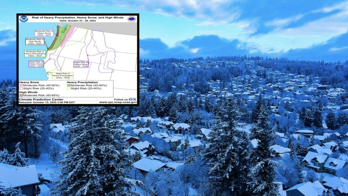
NOAA‘s Climate Prediction Center has issued a key message highlighting an incoming atmospheric river event that’s set to ramp up stormy weather across the Western U.S. starting late next week. This setup promises heavy rain, gusty winds, and significant high-elevation snowfall, particularly impacting the Pacific Northwest.

Stormy Weather Forecast for Western U.S.
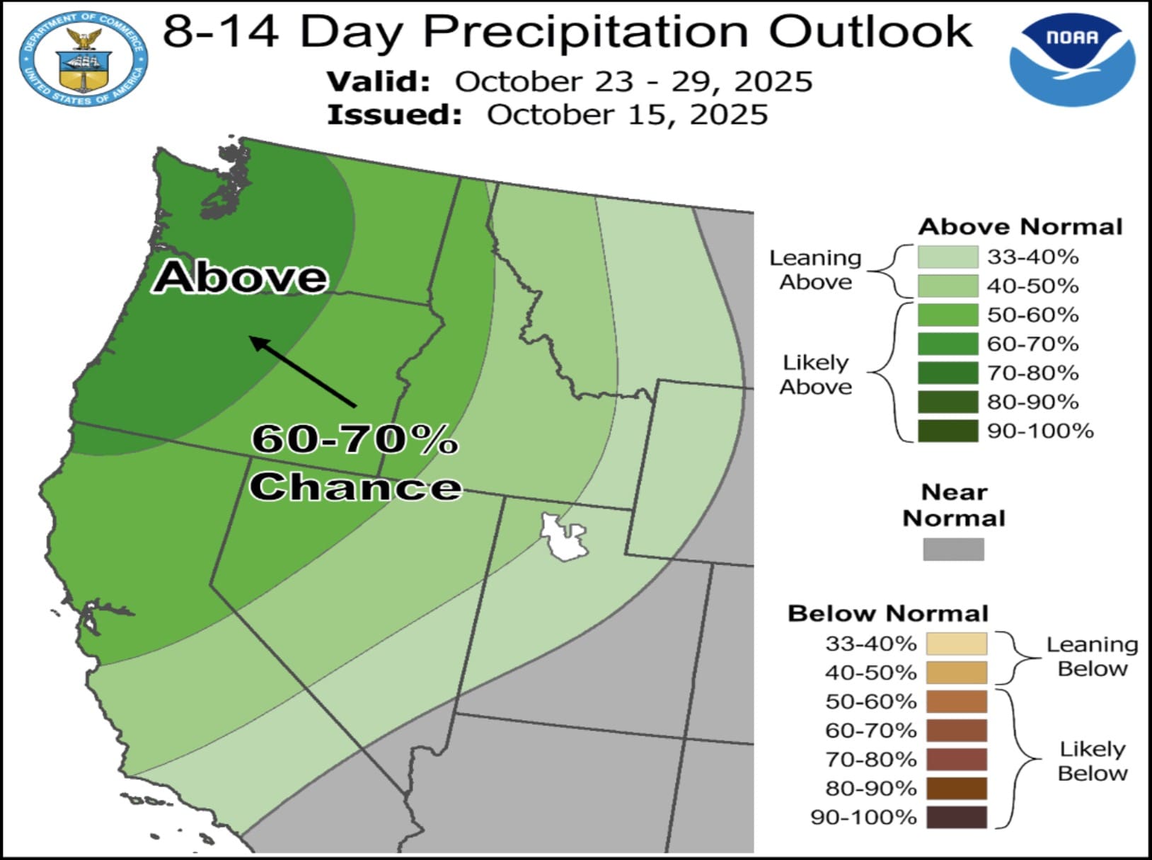
The forecast centers on a strong mid-level trough over the Northeast Pacific, which is expected to funnel an atmospheric river toward the coast. This will likely bring periods of intense weather from October 23rd onward.
- Heavy Precipitation Risks: Highest confidence lies in western Washington and Oregon, with a moderate risk (40-60% chance) of heavy rainfall outlined in the Week-2 U.S. Hazards Outlook (October 23-27). Flooding potential exists west of the Cascades due to saturated grounds, though exact severity remains uncertain.
- High Winds and Coastal Impacts: Strong onshore flow will whip up high winds along the Pacific coast, potentially causing disruptions.
- Heavy Snow in the Mountains: A moderate risk for heavy snowfall is flagged over the Cascades, with accumulations possible in the northern Sierra Nevadas, Great Basin, and Northern/Central Rockies. Ski resorts in these areas could see early-season dumps.
NOAA notes low confidence in widespread flooding extent, urging residents and travelers to monitor updates. This event aligns with typical La Niña-influenced patterns, which often amplify West Coast storms.