

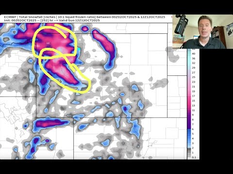
Some of Utah’s ski resorts and high-elevation areas are gearing up for one of their first tastes of winter, with a promising snowfall forecast heading into the weekend. According to the latest data from the National Weather Service, several locations across the state, particularly in the Wasatch Range, are expected to see measurable snow between today and Sunday, October 5th, 2025, with some areas potentially picking up significant accumulations.
Top Six Areas for Snowfall in Utah
1. Alta, UT
- Snowfall Range: 1” (low-end) to 8” (high-end), with an expected 1”
- Probabilities: 97% chance of >0.1”, 89% for >1”, 76% for >2”, 57% for >4”, 34% for >6”, 13% for >8”
2. Snowbird Resort, UT
- Snowfall Range: 1” (low-end) to 8” (high-end), with an expected 2”
- Probabilities: 91% chance of >0.1”, 84% for >1”, 76% for >2”, 58% for >4”, 40% for >6”, 23% for >8”, 3% for >12”

3. Brighton Resort, UT
- Snowfall Range: 1” (low-end) to 7” (high-end), with an expected 2”
- Probabilities: 92% chance of >0.1”, 86% for >1”, 75% for >2”, 50% for >4”, 21% for >6”, 8% for >8”
4. Kings Peak, UT
- Snowfall Range: 1” (low-end) to 4” (high-end), with an expected 2”
- Probabilities: 98% chance of >0.1”, 92% for >1”, 68% for >2”, 24% for >4”, 4% for >6”
5. Solitude Mountain Resort, UT
- Snowfall Range: <1” (low-end) to 4” (high-end), with an expected <1”
- Probabilities: 72% chance of >0.1”, 54% for >1”, 45% for >2”, 30% for >4”, 10% for >6”, 3% for >8”
6. Park City Mountain Resort, UT
- Snowfall Range: <1” (low-end) to 3” (high-end), with an expected <1”
- Probabilities: 68% chance of >0.1”, 53% for >1”, 43% for >2”, 17% for >4”, 3% for >6”

What To Expect
This NWS forecast highlights the Wasatch Range as the epicenter for Utah’s early-season snow. Alta, Snowbird, and Brighton stand out as the heavy hitters, with potential for up to 7–8 inches and high probabilities of meaningful snow (50–58% for >4”). Kings Peak’s high elevation ensures a near-certain dusting, while Solitude and Park City offer solid chances for lighter accumulations.