

![]()
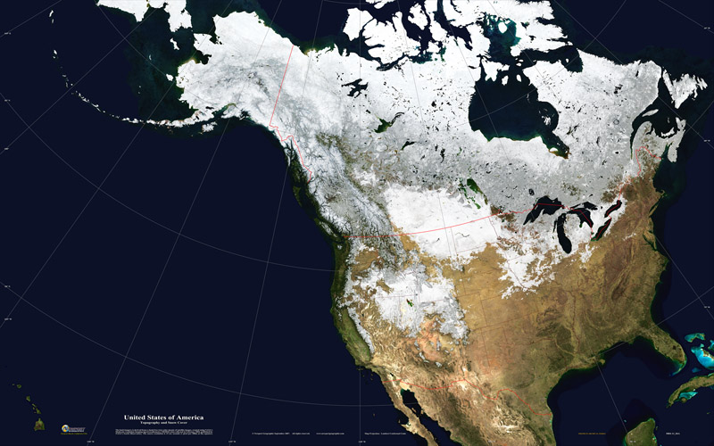
NASA is leading efforts to measure exactly how much snow there is at any given time in the world. The project is called SnowEx and its goal is to work out how much water is stored in Earth’s terrestrial, snow-covered regions.
An accurate portrayal of Snow Water Equivalent (*otherwise known as SWE) has been described as the ‘Holy Grail’ by global data specialists, due to the difficulty it takes to correctly map snow depth and surface coverage.
The information impact global market’s whose fiscal forecasts rely highly on the price of water. Climate scientists are also hoping the data will give the world at large a more in depth understanding of how our world will react if there’s less snow to reflect radiation back into space.
NASA SNOWEX Goals:
- Quantify SWE in open and forested areas for different canopy densities and terrain.
- Quantify snow albedo in open and forested areas for different canopy densities and snow conditions.
The eventual goal of the project is to design a future space mission to accurately measure snow cover and its water content in real time, worldwide for the first time ever.
Find out more here: The SnowEx Campaign
https://twitter.com/NSIDC/status/1007376253026852865
About SnowEx
SnowEx is a multi-year airborne snow campaign.
The overarching question that SnowEx will address is: How much water is stored in Earth’s terrestrial snow-covered regions? We will investigate the distribution of snow-water equivalent (SWE) and the snow energy balance in different canopy types and densities and terrain. We will use a unique combination of sensors, including LiDAR, active and passive microwave, an imaging spectrometer and infrared sensors to determine the sensitivity and accuracy of different remote sensing techniques for measurement of SWE. Ground-based instruments, snow field measurements and modeling will all also be required to help address the science questions.

A large fraction of snow-covered lands are forested, however most remote sensing techniques have found forested areas challenging. But recent developments, like LiDAR, have opened up new possibilities. And even passive microwave has shown to have more promise in forested areas than previously thought. Since the SnowEx research community wants to fully understand the various techniques, focusing on the challenges presented by forests is the perfect opportunity to collect a unique dataset that will help address the science questions and enable snow mission design trade studies, which would otherwise be hard to justify.
SnowEx is a little different than the typical science-only field campaign—and that’s part of what makes it exciting!