

Just when we thought winter was finally over, the Wasatch delivers a May powder surprise that gives Utah skiers and riders a reason to hoot and holler.
Related: These North American Ski Areas Are Still Open [Closing Dates]
NOAA is forecasting upwards of a FOOT of fresh by Thursday morning and the higher elevations of the Wasatch could see mid-winter conditions all day Wednesday and right into Thursday morning.
“If you planted your garden already (or just got used to these May temperatures), look out- winter is returning!” – NWS Salt Lake
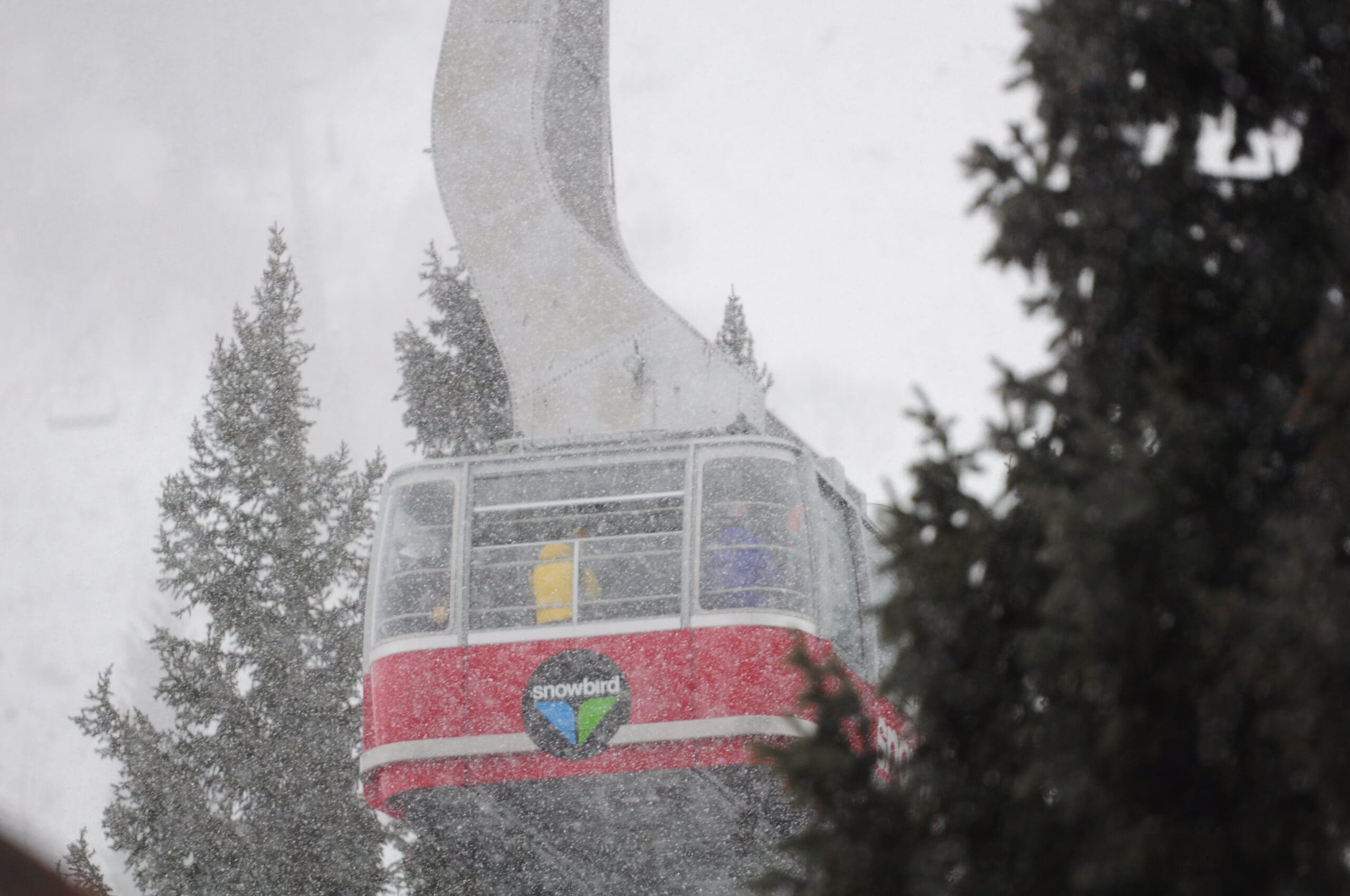
Snowbird is the only remaining resort open in the Wasatch (*Weekends only) and we have a feeling Friday morning will have quite the tram line. Early bird get’s the worm!
Some backcountry skiers will undoubtedly venture out into the fresh snow and we recommend those persons exercise extreme caution as the new snow will be falling on a melt/freeze crust, creating an unstable storm slab throughout the duration of this storm system.
*The Utah Avalanche Center has stopped issuing its advisories for the 2016/2017 season
Snowbird Mountain Report:
The Tram and lifts will be open Fridays-Sundays & Memorial Day. After 5/29, lifts for skiing/riding will be open on Sat/Sun only, conditions permitting. For information on lifts/areas that have closed for the season, please visit snowbird.com/spring. There is no easy skiing or riding available. Season chair passes are now being accepted on the Tram. Please note that on-mountain uphill hiking and travel is not permitted.
Snowbird Forecast:


Winter Storm Watch [NOAA]
…WINTER STORM WATCH IN EFFECT FROM LATE TUESDAY NIGHT THROUGH WEDNESDAY EVENING…
The National Weather Service in Salt Lake City has issued a Winter Storm Watch…which is in effect from late Tuesday night through Wednesday evening.
* AFFECTED AREA…The Wasatch Mountains.
* SNOW ACCUMULATIONS…7 to 14 inches by late Wednesday evening.
* TIMING…Developing ahead of the Wednesday morning commute, and persisting heavy at times into the evening.
* WINDS…West Northwest gusts around 50 mph near exposed ridgelines.
* IMPACTS…Snow early Wednesday is expected to impact the Wednesday morning commute. Winter driving conditions are possible including along Interstate 80 through Parleys Canyon, near Logan Summit and also Sardine Summit. Visibilities will be reduced due to blowing and drifting snow. Allow extra time for travel on Wednesday. Check your winter survival kit in your car, making sure you have extra clothing, blankets, shovel, food, water, flashlight and batteries.