

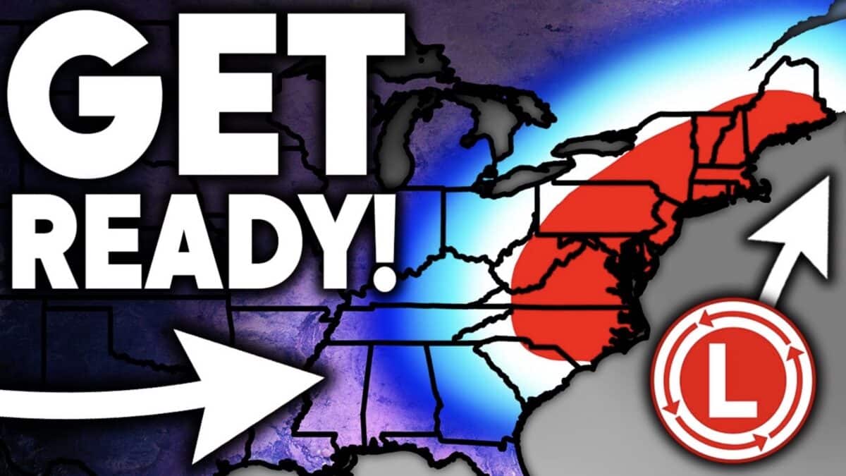
A major shift in the weather pattern could bring repeated Arctic blasts and additional nor’easters to the United States over the next several weeks. According to Direct Weather, both the American GFS and European models are signaling a colder pattern developing across the central and eastern United States as warmer air becomes established across the West.
The forecast comes as a major nor’easter is already impacting parts of the Northeast and Mid-Atlantic. Direct Weather says the current storm could be followed by multiple additional coastal systems, with another potential nor’easter emerging around early October.
Northeast and Mid-Atlantic
The Northeast is expected to remain one of the most active regions as the pattern evolves. The forecast shows Arctic air moving into the Great Lakes, Ohio Valley, Mid-Atlantic, and Northeast as the West warms.
Both major forecast models indicate another potential nor’easter could develop after the current system moves away. The GFS shows a possible coastal low forming along the boundary between the cold air to the east and warmer conditions farther west.
The European model also develops another storm near southern New England. While the exact track and intensity remain uncertain, Direct Weather notes that coastal areas could once again face heavy precipitation, strong winds, and tidal flooding.
South Central United States
The South Central states could experience one of the most dramatic temperature swings in the forecast. Texas, Oklahoma, Kansas, Arkansas, Missouri, and surrounding areas have experienced significant warmth during August and September.
The forecast projects a major reversal as colder air pushes southward late next week. Some areas could go from temperatures 20 to 30 degrees above normal to roughly 10 to 20 degrees below normal.
The same region could also see increasing storm activity around Wednesday and Thursday. Direct Weather is watching Texas, Oklahoma, Kansas, Missouri, Arkansas, and Louisiana for thunderstorms and potentially severe weather during that period.
Rockies and Western United States
The Western United States is expected to trend warmer as the central and eastern states turn colder. This setup could create a classic ridge in the West and trough in the East, allowing Arctic air to surge southward.
Despite the warmer temperatures, the Rockies could see increasing precipitation later in the forecast period. The European model shows notable precipitation potential across Idaho, Montana, Colorado, and the Four Corners.
Snowfall is also beginning to appear in the extended model guidance. Direct Weather highlights potential snow for the Colorado Rockies, Idaho, Montana, and other mountain ranges as colder air eventually reaches parts of the West.
For skiers, the possibility of accumulating mountain snow in early to mid October is worth watching. It is still far too early to consider these extended snowfall projections a firm forecast, but increasing precipitation and colder temperatures could provide some early signs of winter for higher elevations.
More Nor’easters Possible
Perhaps the biggest takeaway from the forecast is the potential for repeated coastal storms. Both the GFS and European models show additional nor’easter potential around October 10.
The forecast attributes the broader setup to the ongoing strong El Niño pattern and expects an active storm track to remain possible through the fall and winter. However, the exact strength and tracks of these individual systems remain uncertain at this range.
