

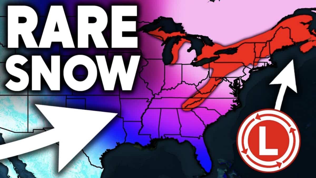
Winter weather could become increasingly active across much of the United States over the next two weeks, with several Arctic blasts, multiple storm systems, and potentially significant snowfall developing in the forecast models.
According to Direct Weather‘s newest forecast, the eastern United States is expected to experience a substantial cooldown beginning later this week, while the western United States could see repeated opportunities for mountain snowfall. The latest outlook also highlights the potential for a major Rocky Mountain storm toward the second half of November. Both the GFS and European forecast models are showing an increasingly active pattern, although there are some significant differences in how the storms could develop.
Northeast and Mid-Atlantic Could See First Winter Storm
The first major weather event arrives Thursday, November 12, as a storm system moves toward the Northeast. The system is initially expected to bring mostly rain, but colder air should move into the region as the storm transfers offshore.
That transition could bring accumulating snowfall to parts of Pennsylvania, New York, Vermont, New Hampshire, and Maine, with additional potential across the Adirondacks, Green Mountains, White Mountains, and higher elevations of western Massachusetts.
The GFS model suggests a more substantial snowfall event, while the European model favors lighter accumulations concentrated at higher elevations. Lake-effect snow could also develop around the Great Lakes.
Rockies and West Coast Could See Repeated Snowfall
The western United States is also expected to remain active, with the Cascades, Sierra Nevada, and Rocky Mountains all showing opportunities for additional snowfall.
A storm system moving through the West around November 15 could bring another round of mountain snow, with additional systems potentially following during the second half of the month. This would be welcome news for ski resorts hoping to improve early-season conditions for skiing and snowboarding.
The European model is particularly aggressive with a potential late-November storm over the Rockies. Its forecast shows a slow-moving low-pressure system that could linger over the region for several days, potentially producing an extended period of heavy snowfall.
Plains and Midwest Could See Unusual November Snow
Further into the forecast, the models begin showing the possibility of a much larger storm system developing across the central United States.
The GFS model suggests a strong low-pressure system could bring snowfall to parts of Kansas, Oklahoma, and Texas before moving north toward Iowa, Missouri, and Wisconsin. This scenario remains highly uncertain given how far out it is, but it is an interesting possibility for areas that do not typically see widespread early-season snowfall.
The European model shows a different track, with a potentially powerful storm developing closer to the Rockies and lingering over the region for several days.
Another Arctic Blast Could Arrive Before Thanksgiving
Beyond the individual storm systems, temperatures are expected to become a major part of the developing pattern. Both major forecast models show repeated shots of Arctic air moving into the eastern United States, with below-average temperatures potentially lasting well into late November.
The GFS even suggests another significant Arctic blast around November 20, potentially bringing another round of colder weather after a brief warmup. The European model also maintains colder conditions across the East through much of the period.
There is still considerable uncertainty surrounding the late-November storm potential, particularly regarding its eventual track and snowfall totals. Direct Weather emphasizes that the extended-range projections should be treated cautiously.
This combination of colder temperatures and repeated storm opportunities across the West could make the second half of November pretty interesting when it comes to snowpack development. Fingers crossed the snow comes in heavy.