
Western New York is bracing for a significant lake effect snow event that could deliver up to 3 feet at local ski resorts through the end of the week. The National Weather Service Buffalo has issued Winter Storm Warnings for multiple counties across Western New York. The storm is expected to begin this afternoon and continue through Saturday morning in some areas.
Winter Weather Warnings In New York

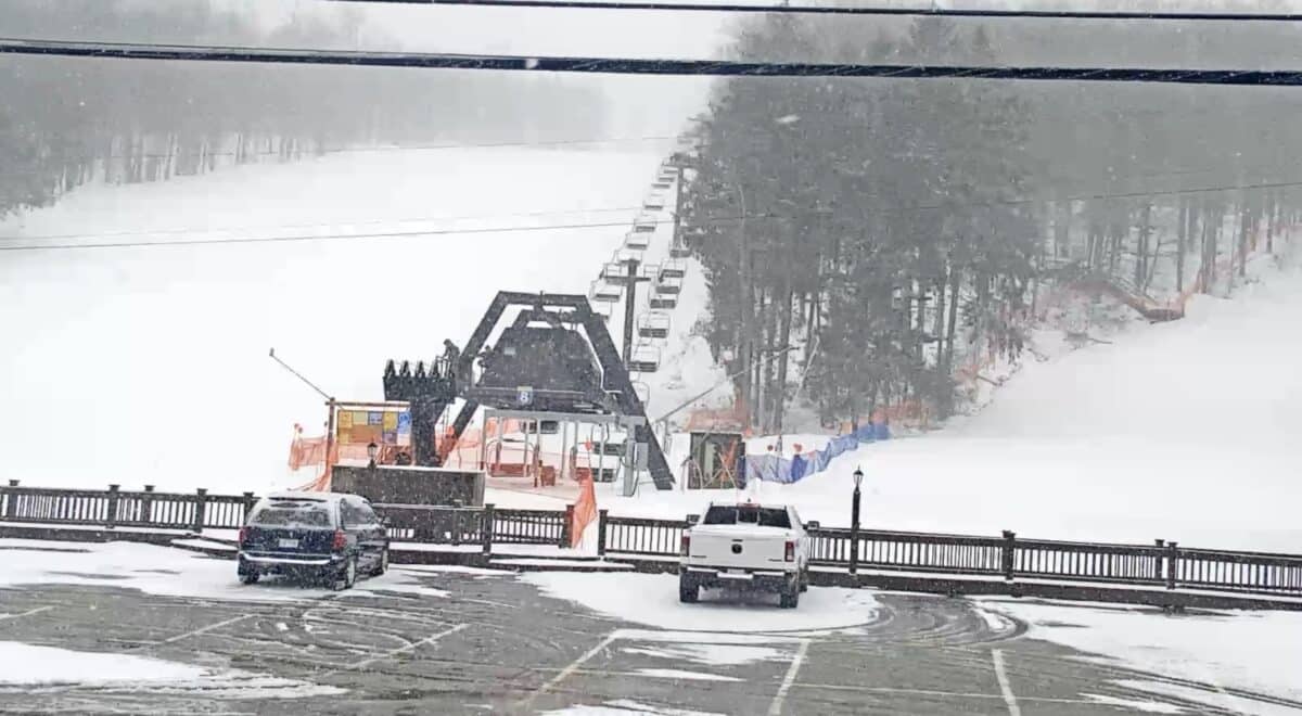
Peek’n Peak Resort in Chautauqua County could see between 1 and 3 feet of total accumulation from this storm system, with the warning in effect until 1am EST Friday. Holiday Valley in Cattaraugus County is also under the Winter Storm Warning through Friday morning, with similar accumulation totals of 1 to 3 feet expected. Lake effect snow bands are forecast to oscillate throughout the week, meaning some areas could see even higher totals where the heaviest bands persist.
Kissing Bridge, located in Southern Erie County near Orchard Park, faces the same Winter Storm Warning with anticipated accumulations of 1 to 3 feet. The resort could see whiteout conditions through Tuesday as winds and heavy snow create treacherous travel conditions.
The NWS warns that travel will be very difficult to potentially life-threatening during the peak of the storm Monday night into Tuesday. Make sure to check road conditions before traveling and be prepared for rapid changes in weather and visibility typical of lake effect snow events.