^Snow forecast map from FOX Weather
Meteorologists across the country have their attention on a major winter storm that’s set to dump multiple feet of snow across the Great Lakes region.
The storm, which is fueled by moisture evaporating off the Great Lakes, is forecasted to hit the area around Buffalo, NY the hardest.
The National Weather Service (NWS) has issued a Lake Effect Snow Warning for Buffalo that starts at 7PM tonight and runs through 1PM on Sunday:
“WHAT…Heavy lake effect snow expected. Total snow accumulations of 2 to 4 feet in the most persistent lake snows. The heaviest snow is expected late this evening through Friday night when snowfall rates could exceed 3 inches per hour. Winds gusting as high as 35 mph with produce patchy blowing snow.”
The worst of the storm is expected to hit Buffalo tonight and stick around through Friday night.
Meteorologists are forecasting that snowfall rates could exceed 3 inches per hour during the peak of the storm.
For context, a snow storm is usually considered to be intense when it’s snowing at a rate of 1 inch per hour…
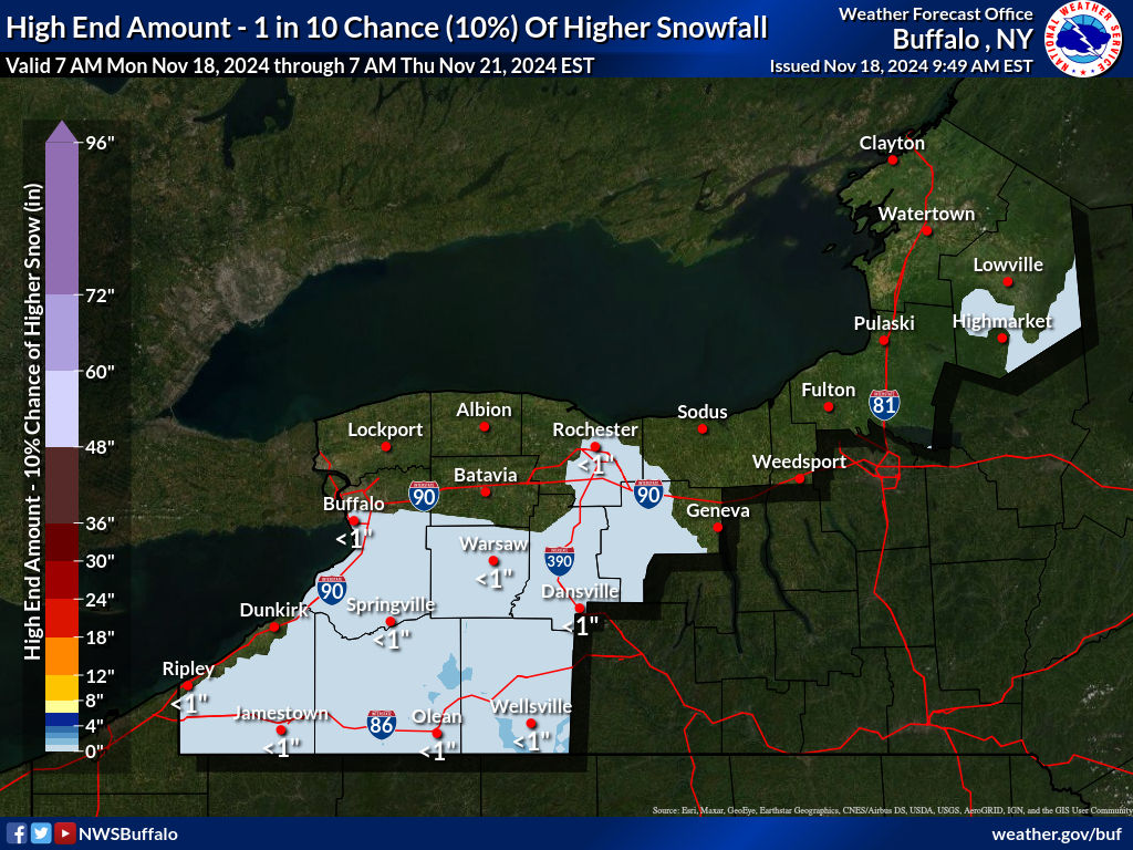
^High end snow forecast map from the NWS
The area around Buffalo, NY isn’t known for having any mountains, unfortunately, but ski areas in the Catskills, Adirondacks, and in the Green Mountains of Vermont could pick up leftovers.
We’re as excited as you are about feet of snow falling from the sky, but please remember that this storm will be dangerous. The NWS is predicting significant impacts to travel and the electrical grid.
To all of our friends in Buffalo- stay safe and please send any photos or videos from the storm to matt@unofficialnetworks.com!
Stay tuned here for more information, photos, and videos from the storm as they become available.
Featured Image Credit: 2WGRZ


