
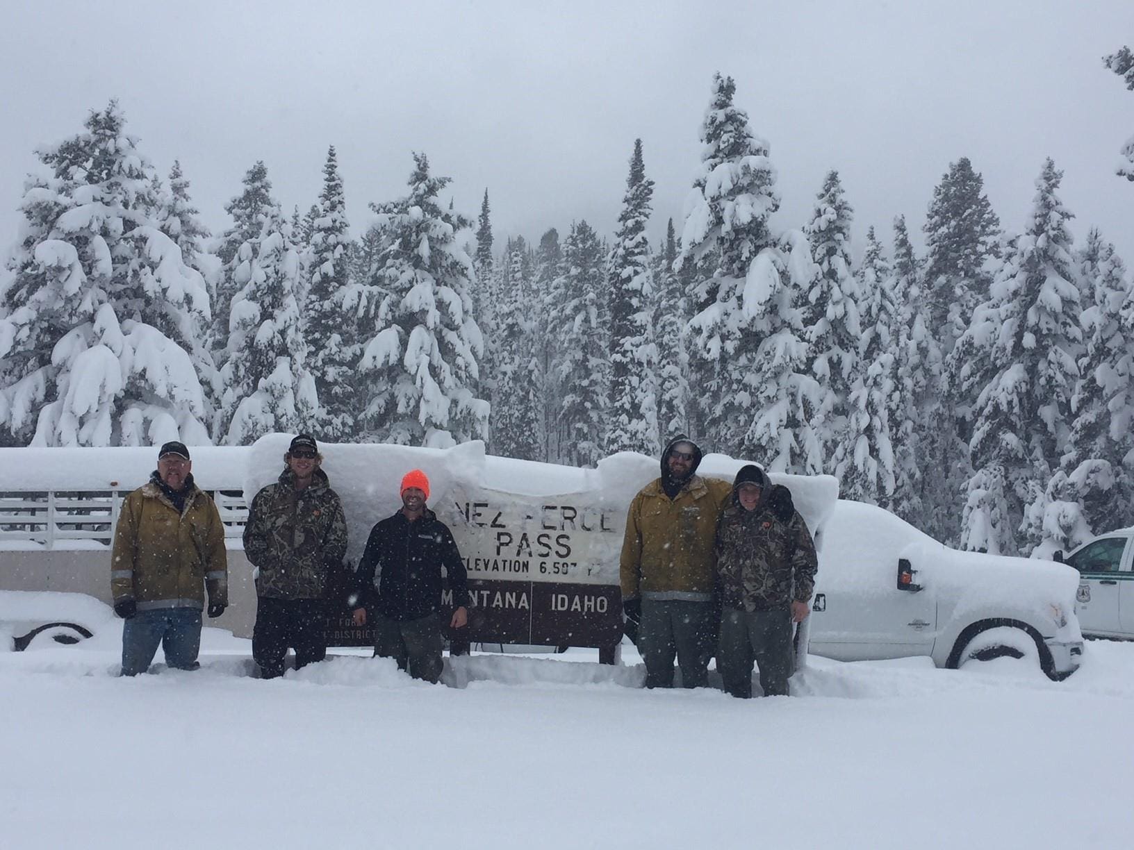
A winter weather advisory has been issued for parts of northern Montana and Idaho with up to 9″ forecasted by the end of today. Whitefish, parts of Glacier National Park and west to Idaho should all see significant accumulations.
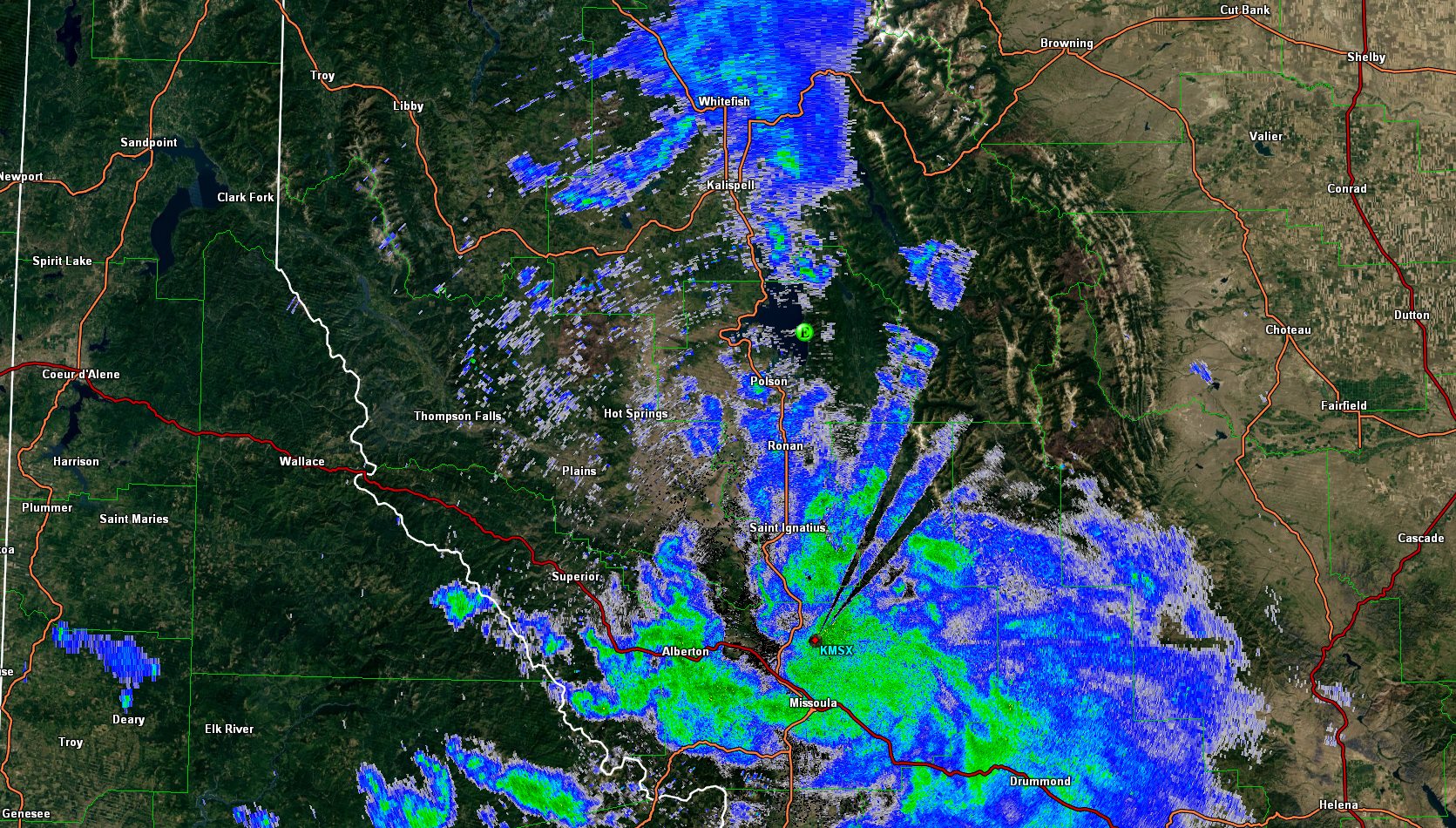
“A band of snow is currently moving west to east along I-90 through the Missoula valley. Another band of snow is impacting Olney, Whitefish, and Kalispell this morning. Missoula International Airport has received 1.4″ of snowfall this morning. If you are waking up to fresh snowfall this morning, we would appreciate any reports you can send our way!” – NWS Missoula
Whitefish, MT:


Lookout Pass, ID:


Winter Weather Advisory [Whitefish]:
…WINTER WEATHER ADVISORY IN EFFECT FROM 11 PM THIS EVENING TO 11 AM MST WEDNESDAY…
* WHAT…Snow expected. Total snow accumulations of 3 to 6 inches, up to 9 inches at Marias Pass. Northeast winds 15 to 25 mph with gusts to 35 mph are expected.
* WHERE…Bad Rock Canyon, Essex, Highway 83 Bigfork to Swan Lake, Marias Pass, and Polebridge.
* WHEN…From 11 PM this evening to 11 AM MST Wednesday.
* ADDITIONAL DETAILS…Travel could be very difficult.
Winter Weather Advisory [Lookout Pass]:
…WINTER WEATHER ADVISORY IN EFFECT FROM 7 PM THIS EVENING TO 11 AM MST WEDNESDAY…
* WHAT…Snow expected. Total snow accumulations of a trace to 2 inches for the lower valleys with 4 to 6 inches expected elsewhere.
* WHERE…Evaro Hill, Highway 200 Thompson Falls to Plains, Highway 200 Trout Creek to Heron, and I-90 Lookout Pass to Alberton.
* WHEN…From 7 PM this evening to 11 AM MST Wednesday.
* ADDITIONAL DETAILS…Travel could be very difficult.