
POWDER ALERT- COLORADO FRONT RANGE- SUNDAY/MONDAY
Powderchasers.com
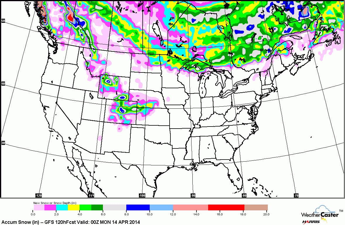
Sharp cold front and Northeasterly winds will bring warm spring like weather over the Eastern Colorado mountains to mid-winter conditions by early Sunday morning. Snow will intensify early Sunday over the foothills of Denver and continue into the evening hours through Monday morning. The highest intensity snowfall will occur from 5AM Sunday through 10 PM that evening. Both Sunday and Monday may be well deserved powder days.
9-14 inches of snow are likely favoring resorts closest to the Denver Metro areas. Eldora, Winter Park, Berthoud Pass, A Basin, and Loveland are in the most favored locations for NE flow. Westerly flow behind the front will provide moderate snowfall to areas West of the Divide (4-7).
Montana will get some action on Saturday as the cold front favors the southwestern 1/3 of the State. With Upslope flow the mountain areas near Bozeman may only see 3-6 inches (NW flow is better). Isolated areas of Montana wills see higher amounts but not confident on ski area totals (6-9 inches in pass locations) Western Wyoming get’s the action Saturday PM favoring Casper and areas to the Eastern Divide.
Long Term models depict wet trend for BC and the interior as well as a storm due for the Wasatch around April 15th. The Cascades might ramp up April 16-18.
This gets to be the time of year when you can migrate from biking (Mountain biking is already in swing in the lower elevations of Park City) to skiing. I should keep the alerts going through May 1st. For those of you that miss the last powder of the season there is a bright side! In just another 5 months we will issuing powder alerts again! Please consider a donation to keep your powder dreams alive!