In Bob Dylan’s classic song “Girl From The North Country,” Johnny Cash croons about Vermont, “where the rivers freeze and summers end.”
Yet, that landscape is a far cry compared to this winter, whose late summer temperatures continue to plague the northeast. So far, non-existent natural snowfall and temperatures too warm for snow making are putting the kibosh on the New England ski season and the current 10-day forecast is not showing much relief for New England skiers seeking snow.
Just how bad is it?

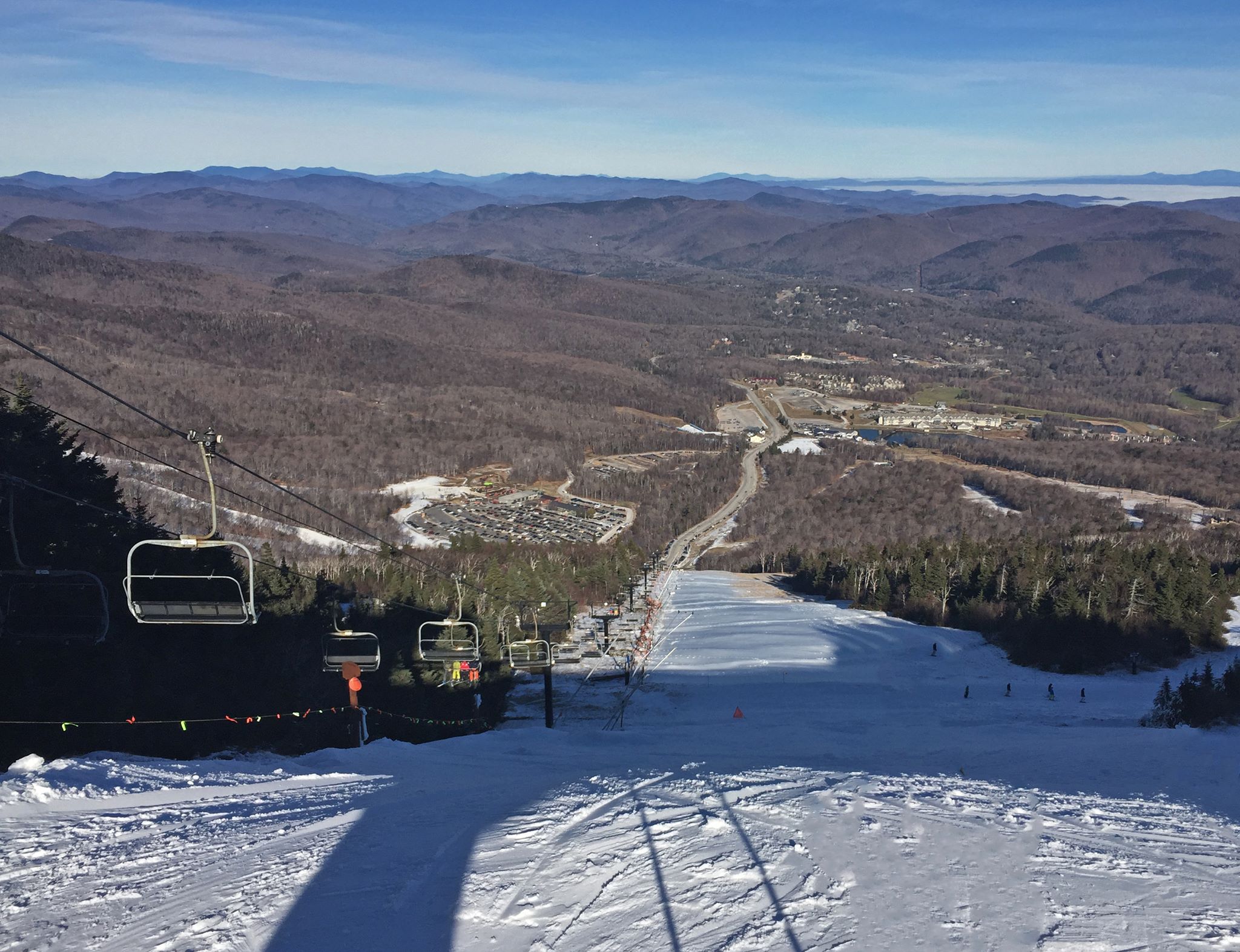
Jay Peak, which normally leads the northeast in terms of snowfall has received a measly 11″ of snowfall thus far this season and even that estimate might be a little generous. Also, you put that number in relation to their annual average of 355 inches and it seems like there is a lot of work mother nature would have to do to get close to the average for 2016.
This time last year, Jay Peak had already received 42″ of snow with cold temps dominating the weather forecast.
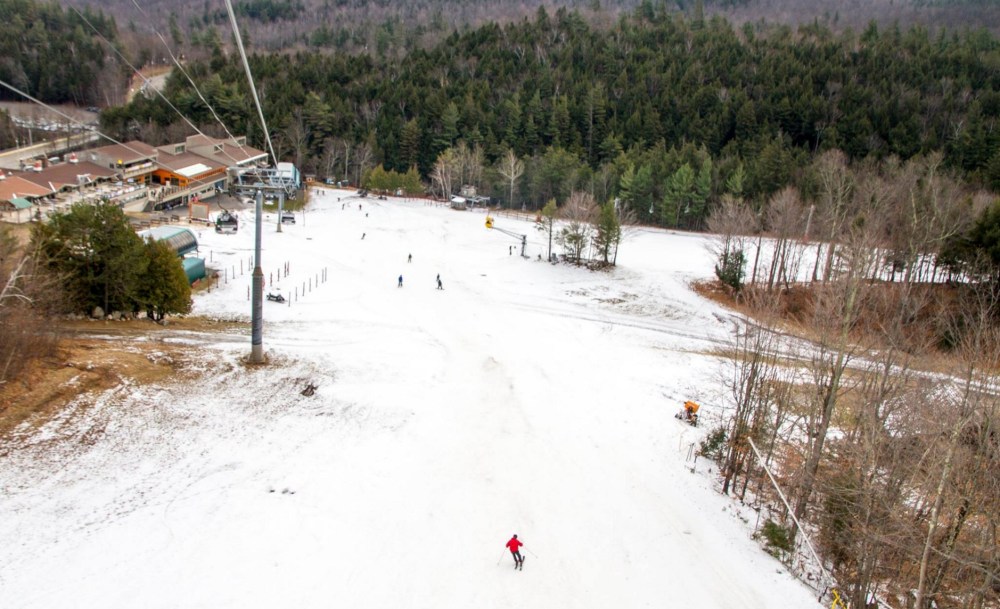
However, the 2015/2016 year looks like this so far:
And it’s not just the ski areas, Burlington, Vermont has only received a fraction of an inch of snow so far, which is 8.7 inches short of the average reports Fox News.
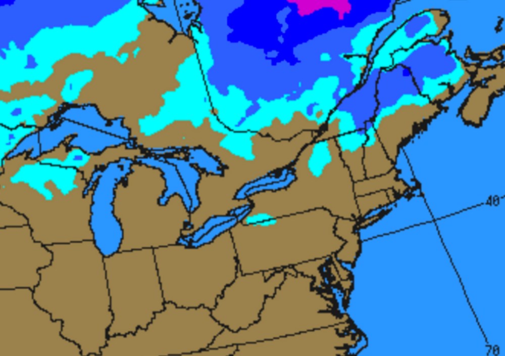
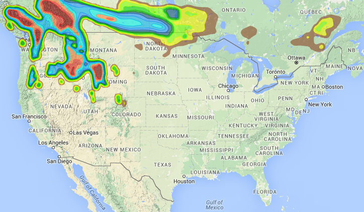
And the forecast radar looks like this…
Somewhere around the holidays looks like the best chance for change in weather as acccuweather.com is reporting of a mild system moving towards the east coast that should keep any colder weather at bay for the next 10 days.
In fact, record-breaking warm temperatures will continue to plague the midwest and parts of the northeast with Vermont looking at temps that will range between 10-20°F above normal!
The result, rain and temperate conditions for ski areas across the northeast.


