
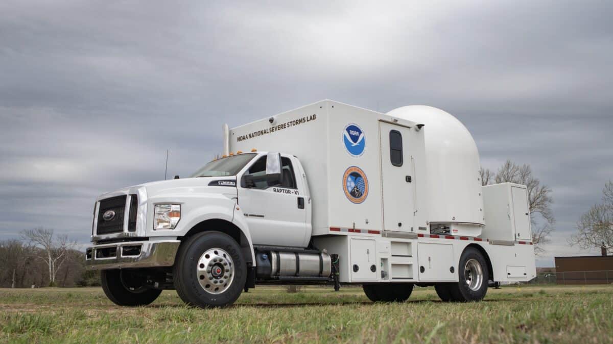
NOAA‘s National Severe Storms Laboratory has added three cutting-edge mobile radar systems to its arsenal, a development researchers say will fundamentally change how scientists study and respond to dangerous weather events.
The radars are mounted on heavy-duty trucks and can be rapidly deployed to the front lines of tornadoes, wildfires, hail storms, and flash flooding. Each truck carries two X-band radar units and one C-band radar, giving researchers complementary tools for different conditions. X-band radars offer greater sensitivity and finer detail, while C-band radars perform better in heavy precipitation and with large particles.
“This is a game changer for public safety. These tools allow us to observe and document extreme hazards with a level of detail and confidence that was previously impossible.” – DaNa Carlis, director of NSSL.
A key advantage of mobile systems is their ability to scan the lowest levels of a storm, where tornadoes and other ground-level hazards actually occur. Fixed radar networks struggle to capture these close-range, low-altitude features. Deploying multiple radars on a single storm also unlocks wind data that a single radar cannot provide, since radar can only measure winds moving directly toward or away from the instrument. Two radars observing the same area from different angles allow scientists to calculate both wind speed and direction.
The new systems also expand NOAA’s capacity to monitor wildfires, where researchers can track smoke plumes and fire-driven wind shifts that affect both fire behavior and firefighter safety. During flash flood events, the radars can identify in real time exactly where the heaviest rainfall is occurring.
The additions strengthen the NSSL mobile observing fleet, which already includes mobile mesonets, uncrewed aerial systems, lightning mapping arrays, and LiDAR instruments. Much of the field research conducted with these assets falls under the VORTEX-USA program, a multi-institution effort now in its 10th year studying tornado formation and severe thunderstorm behavior.
NOAA says the data collected will be used to refine operational weather forecasts and extend warning lead times ahead of severe storms.