
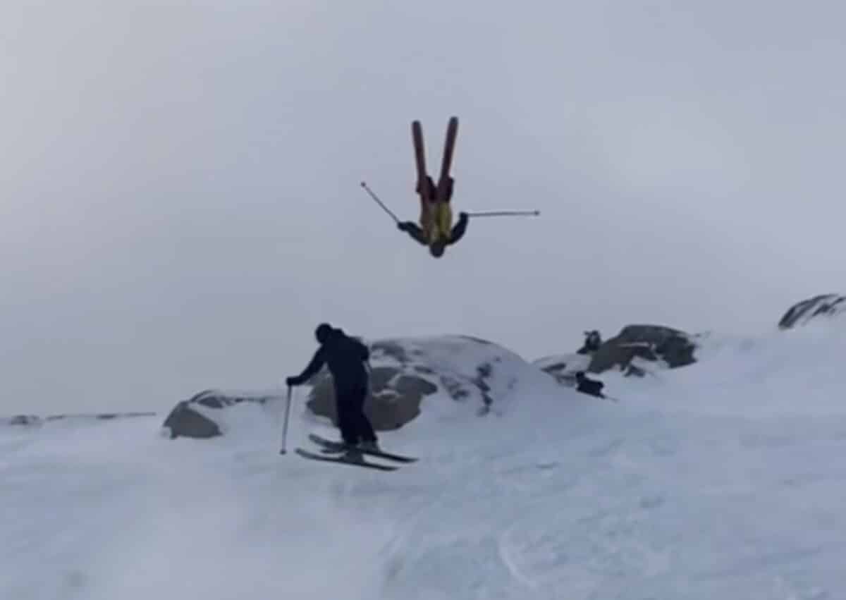
Little mid-winter reminder that Olympic Valley has long been a magnet for talent. Generations of the world’s best skiers have called the place home and it looks like the tradition is alive and well. Not sure there’s many other resorts you could find this many skiers casually tossing backies and 3s off a natural feature. The density of high level skiers at Palisades is no joke:
Palisades has had a rough winter so far but they are about to get hammered with multiple feet in the forecast. Buckle up because this hotbed of skiing talent is about to let loose on some major precipitation. Read the full forecast below.
Pallisades Snowfall Report & Forecast by Bryan Allegretto:
An additional 3 inches of snow fell on the upper mountain on Wednesday from the lingering snow showers from the departing storm. That brings the final 2-day storm total to 9 inches. We were expecting 5-10 inches, so no surprises with this storm.
Thursday – Friday Weather:
We will see mostly sunny skies on Thursday and Friday, but we could see afternoon clouds on Thursday and a few snow showers popping up over the mountains, as a slightly moist NE flow develops. Highs in the 30s on Thursday and into the 40s for the lower elevations near the base on Friday.
Saturday – Sunday Weather:
Clouds and sun for the weekend with ridgetop winds gusting up to 40-50+ mph from the SW Saturday, and then possibly dropping on Sunday. Highs in the 30s for the upper elevations and 40s for the lower elevations.
The latest model runs are digging the next storm south along the West Coast over the weekend, with southerly flow developing on the east side, and the precipitation so slow to progress east into the Sierra that we may have to wait until Monday to see snow. But scattered showers are possible later Sunday into Sunday night.
Monday – Tuesday Storms:
The southerly flow around the low, slowly pushing inland, will make for a slow increase in snow pushing into the Sierra on Monday, with rates likely increase into the afternoon and evening hours. Then the colder storm drops in from the NW on Tuesday, increasing snowfall rates with a better westerly flow over the mountains and colder air.
Highs in the 30s for the lower elevations and 20s for the higher elevations on Monday, and then dropping into the 20s and teens for the highest elevations on Tuesday. Ridgetop winds are expected to be strongest with the incoming Tuesday storm from Monday afternoon into Tuesday, with ridgetop gusts up to 80+ mph.
That will likely affect upper mountain lift operations by later Monday into Tuesday. The snow levels drop near the base at the start of Monday morning, and then fall to around 5000 ft. by Monday evening, and near 4000 ft. Monday night into Tuesday. That will increase snow ratios as the heavier precipitation is pushing in.
Snow ratios could average near 15:1 at 8k’ or a bit better by Tuesday. By early Wednesday morning, we could see 2-day storm totals of around 22-30 inches at the base, 28-35 inches near mid-mountain, and 32-40 inches up top.
Additional Storms Possible:
The trough is forecast to stay over the West Coast through the weekend of the 21st – 22nd, and possibly until the 24th, keeping the storm door open. The latest model runs show the next storm dropping in sometime on Wednesday, keeping snow and snow showers going into Thursday.
There is a trend with the next system for next Friday – Saturday to be weaker and to drop in to our NE as more of an inside slider with snow showers or a break in the storms for a couple of days from Friday into Saturday. Then the next storm is possible between Sunday the 22nd – Monday the 23rd, with some models showing a final storm possible on Tuesday the 24th. S
The cold pattern continues with highs in the 20s and teens for the higher elevations, with snow levels staying low with each storm, and snow ratios staying high. The winds don’t look as strong with the storms beyond Wednesday.
Looking at the OpenSnow snowfall charts by model and run, we see the snow starting on Monday, with the best agreement into the highest 24-hour totals on Tuesday, and agreement that snow continues into Thursday. Friday is when the models start to diverge on what happens with a possible break before final storms possible by Sunday, the 22nd.
We’ll continue to watch the trends for later next week, into the 23rd – 24th, to see what will happen with a possible break in the storms and when the final storms could move through. Good confidence in almost continuous snowfall from Monday through Thursday with significant totals. Thursday could be the best day as totals increase and winds drop.
Long-Range Outlook:
The long-range models continue to show the trough and storm track lifting north as we go through the last few days of February, into the first week of March. High pressure over CA should keep most of the storms to our north by the last few days of the month, with the wet pattern shifting into the Pacific NW.
That pattern could continue through the 1st week of March. That doesn’t mean a few storms could try to dig farther south and bring us some snow, but it’s likely that we see lighter amounts from any storms reaching us, with the bigger storms done for a while.
Hopefully, we will start to see some signals that another wet pattern will form during March. I’ll be watching for that closely. We’ve had a 1-week wet pattern every month this season so far. Hopefully, we see a week or more in March so that we can continue to climb out of our seasonal snowfall deficit.