
Based on severe weather meteorologist Max Velocity‘s recent forecast, this upcoming winter 2025 season could mark a departure from recent milder winters, ushering in volatile conditions driven by a neutral ENSO pattern with a slight La Niña lean. This setup echoes the intense winter of 2013-2014, promising arctic outbreaks, powerful snowstorms, and significant temperature swings. For skiers and snowboarders, regions like the Rockies and Great Lakes may see ample snowfall.
Understanding the ENSO Influence
The El Niño-Southern Oscillation (ENSO) plays a pivotal role in U.S. winter weather. In neutral conditions, like those forecasted for 2025, other atmospheric drivers gain prominence, leading to unpredictable patterns. Strong El Niño or La Niña phases, on the other hand, often dictate more consistent outcomes. As Max Velocity reports, this neutrality could amplify variability, with sharp warm-to-cold transitions and increased storm activity.
Echoes of the 2013-2014 Winter
Drawing parallels to the 2013-2014 season, which featured repeated polar vortex disruptions and no U.S. hurricane landfalls (similar to 2025’s suppressed season so far), this winter may bring comparable extremes. That year saw widespread cold snaps east of the Rockies, drought in the West, and heavy lake-effect snow around the Great Lakes. While not an exact repeat, these similarities do suggest a higher risk for impactful events.
Temperature Outlook: Cold Dominance in the North
Max Velocity expects below-average temperatures across the Northern Plains, Midwest, Ohio Valley, and parts of the Northeast, with frequent arctic blasts spilling in from Canada. The Dakotas and Great Lakes could face particularly brutal cold, ideal for extended ski seasons. In contrast, above-average warmth is likely in Florida, southern and central Texas, and along the West Coast.
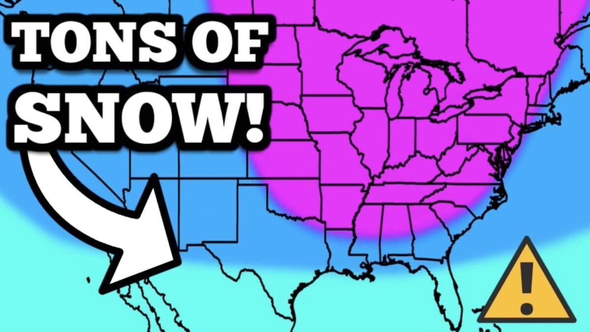
Winter Precipitation and Snowfall: Stormy and Snowy in Key Areas
Precipitation patterns may diverge from 2013’s dryness. Above-average rain and snow are anticipated in the Midwest, Ohio Valley, and Northeast, setting the stage for multiple winter storms, ice events, and nor’easters from December through February. The Pacific Northwest and Gulf Coast, however, could trend drier, aligning with the La Niña influence.
Ski hotspots like Colorado, Wyoming, and Montana look promising with early snow in November and December, potentially delivering solid base layers for resorts. The Great Lakes region may see abundant lake-effect snow, boosting areas around Chicago and Detroit.