
“At no time since systematic snowpack measurements began around 1930 has the snowpack been this low in the state of Utah.” – Jordan Clayton of the National Resources Conservation Service (NRCS).
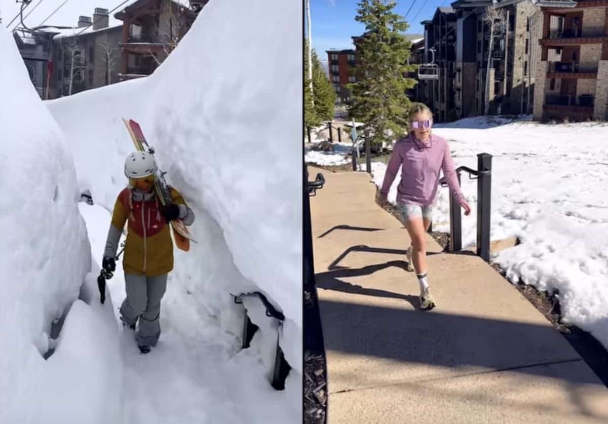
You don’t have to be a federal hydrologist to know Utah has had a bad snow year but it was just confirmed by one and its worse than you might think. Jordan Clayton of the National Resources Conservation Service recently analyzed data from the state’s vast array of SNOTEL (Snow Telemetry) sites and he and his colleagues determined the snowpack was lower than any other year in the measurements 96 year history.
“Clayton says the lack of April 1 snowpack will strongly influence water supply forecast for Utah. We will include updated forecast volumes in our forthcoming water supply outlook report. While this year’s snowpack conditions have created challenges for runoff modeling, NRCS’s new forecast system and platform is better equipped than previous modeling systems to deal with anomalous snowpack seasons like 2026, including an AI driven approach, combining machine-learning, improved accuracy and new forecast products for our water users, such as forecast evolution plots and Weekly guidance forecast for select location locations.” -Matt Johnson, KSL
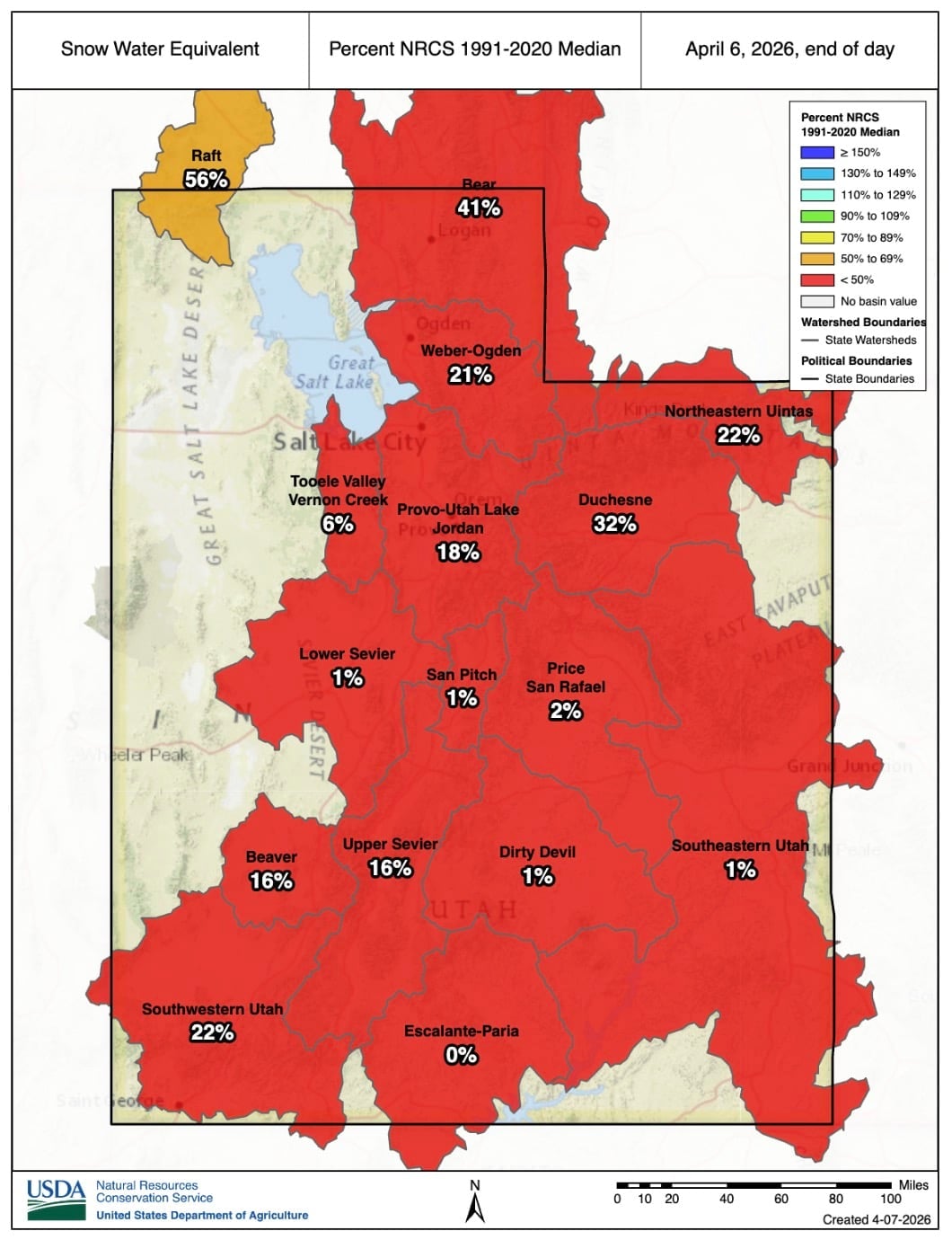
Despite a recent storm cycle, totals remain well under previous lows. With about 95% of the state’s water supply tied to snowpack, the record low is expected to lead to poor runoff and worsening drought conditions.